Back to the librarykm 11 · May 2026 · © heetENkoel / Mapillary, CC BY-SA km 29 · Mar 2025 · © changchun1 / Mapillary, CC BY-SA km 51 · Apr 2025 · © ray66 / Mapillary, CC BY-SA km 72 · Nov 2023 · © DerMaster0815 / Mapillary, CC BY-SA km 8–9km 40–41
Road bikeRouteCasterRound trip
Rondje Schloss Jettingen en Taubried
Distance
74 km
Ascent
555 m
Highest point
545 m
98% paved
Start from your location
Ride there from home: we find the shortest way to the loop and start the loop from there.
The ride
Roll out of Scheppach and into the Naturpark Augsburg - Westliche Wälder, then past Schloss Jettingen and on through the Taubried. The route continues by the Jungholz bei Leipheim and along the Donauhänge und Auen between Leipheim and Offingen, all nature reserves. With 73.6 km, 555 m of climbing and 98% paved surface, it loops back to Scheppach.
Along the way
Climbs
Climb 1Hill
1.3 km at 4% · max 16.8%
Climb 2Hill
1.1 km at 3.1% · max 6.1%
Routes nearby
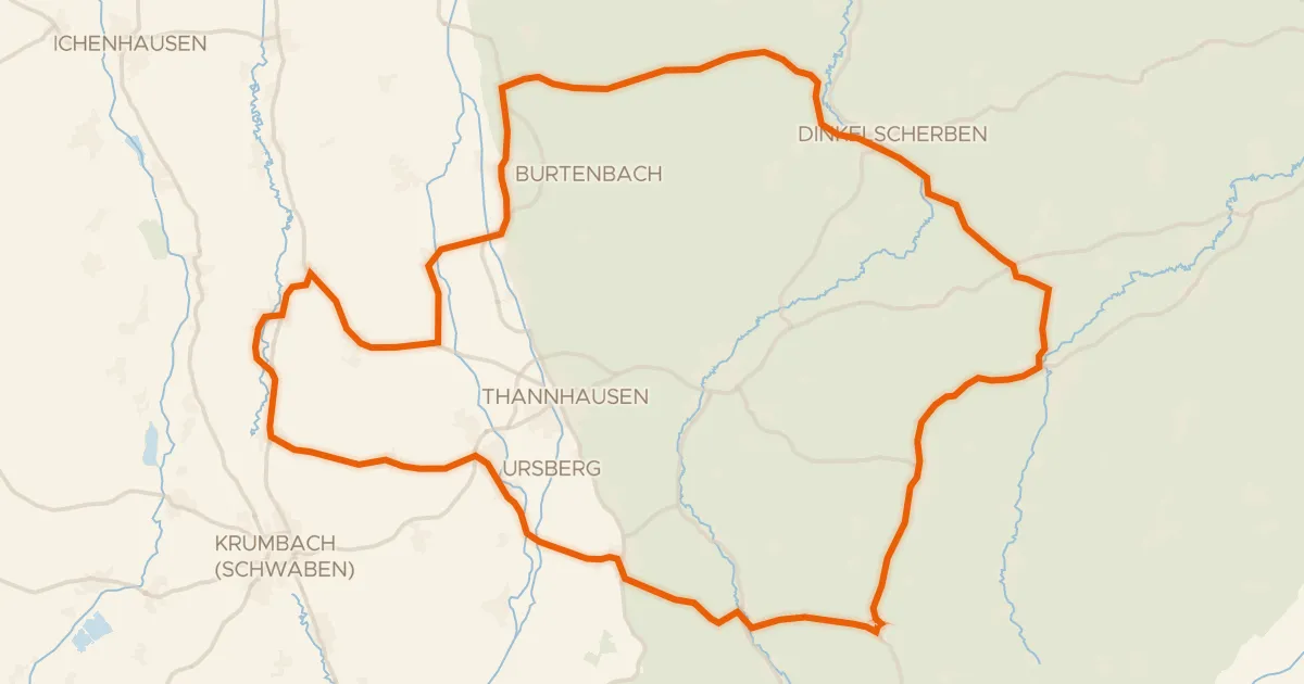
Road bike99% paved
Rondje Schloss Burtenbach en Mindel
73 km↑ 632 m13 km away
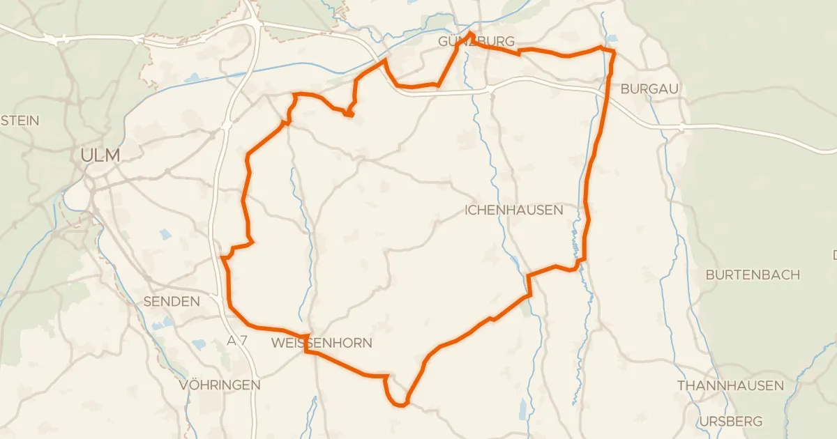
Road bike97% paved
Rondje Schloss Roggenburg en Taubried
82 km↑ 506 m16 km away
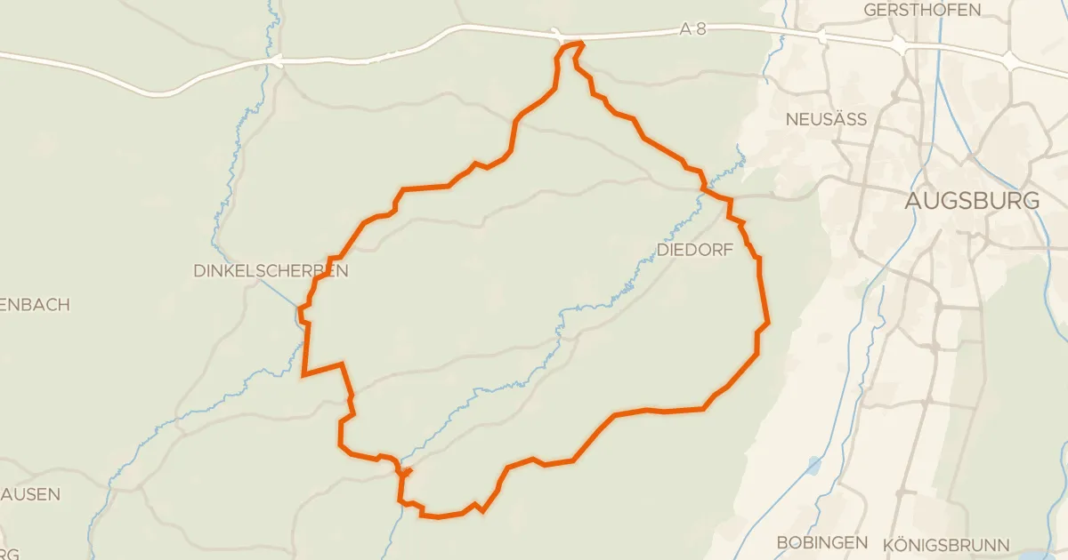
Gravel17% paved
Langs de Zusam en de Schmutter
60 km↑ 823 m21 km away
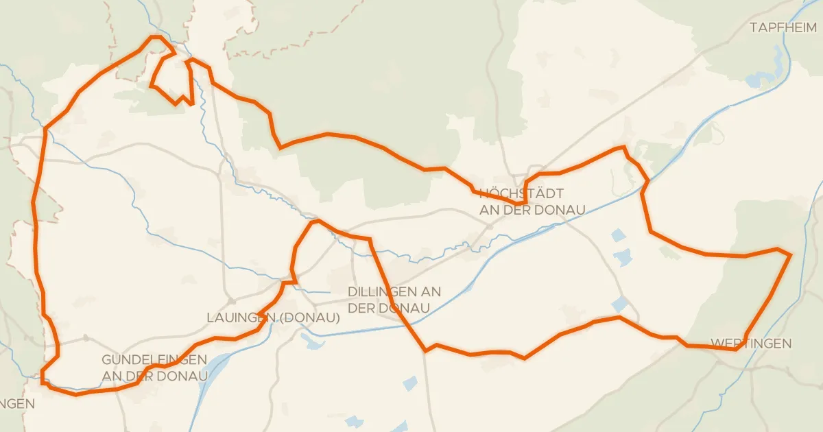
Road bike96% paved
Rondje Schloss Bächingen en Dattenhauser Ried
98 km↑ 443 m23 km away
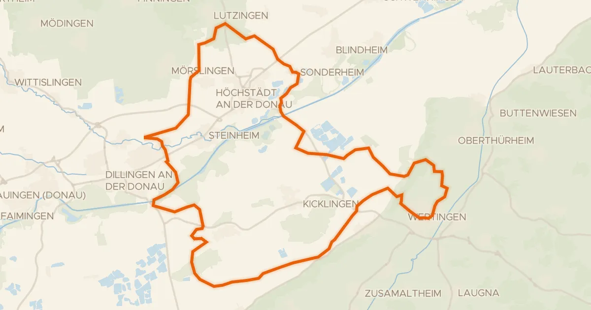
Gravel33% paved
Rondje Schloss Wertingen en Donau
60 km↑ 211 m23 km away
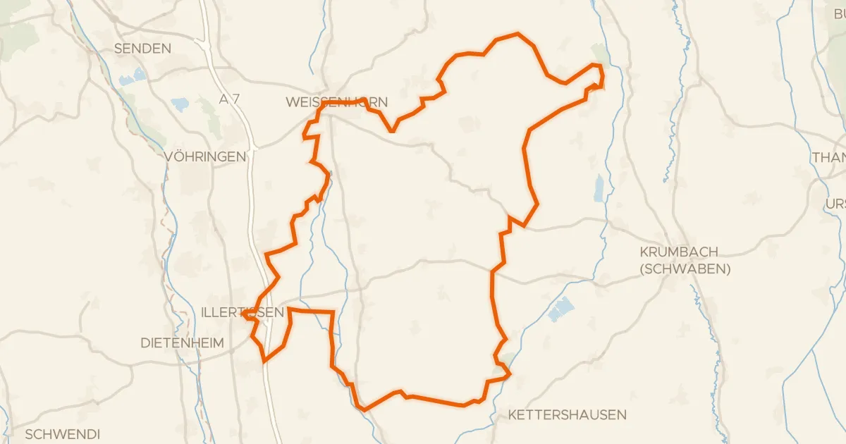
Gravel22% paved
Rondje Vöhlinschloss en Taubried
80 km↑ 613 m24 km away