Back to the librarykm 49 · Apr 2023 · © msdess / Mapillary, CC BY-SA km 13–14km 25–27km 32–33
GravelRouteCasterRound trip
Langs de Zusam en de Schmutter
Distance
60 km
Ascent
823 m
Highest point
589 m
17% paved
Start from your location
Ride there from home: we find the shortest way to the loop and start the loop from there.
The ride
Roll out of Fischach and let the ride unfold: first along the Schmutter river, then into the Rauher Forst forest, and on to the Zusam river. With 60.4 km ahead and 823 m of climbing, the route keeps things varied, and most of it runs unpaved. It all loops back to Fischach, where you started.
Along the way
Climbs
Climb 1Hill
1.6 km at 4.7% · max 10.5%
Climb 2Cat. 4
2.7 km at 3.4% · max 14.9%
Climb 3Hill
0.9 km at 3.4% · max 11.5%
Routes nearby
Road bike99% paved
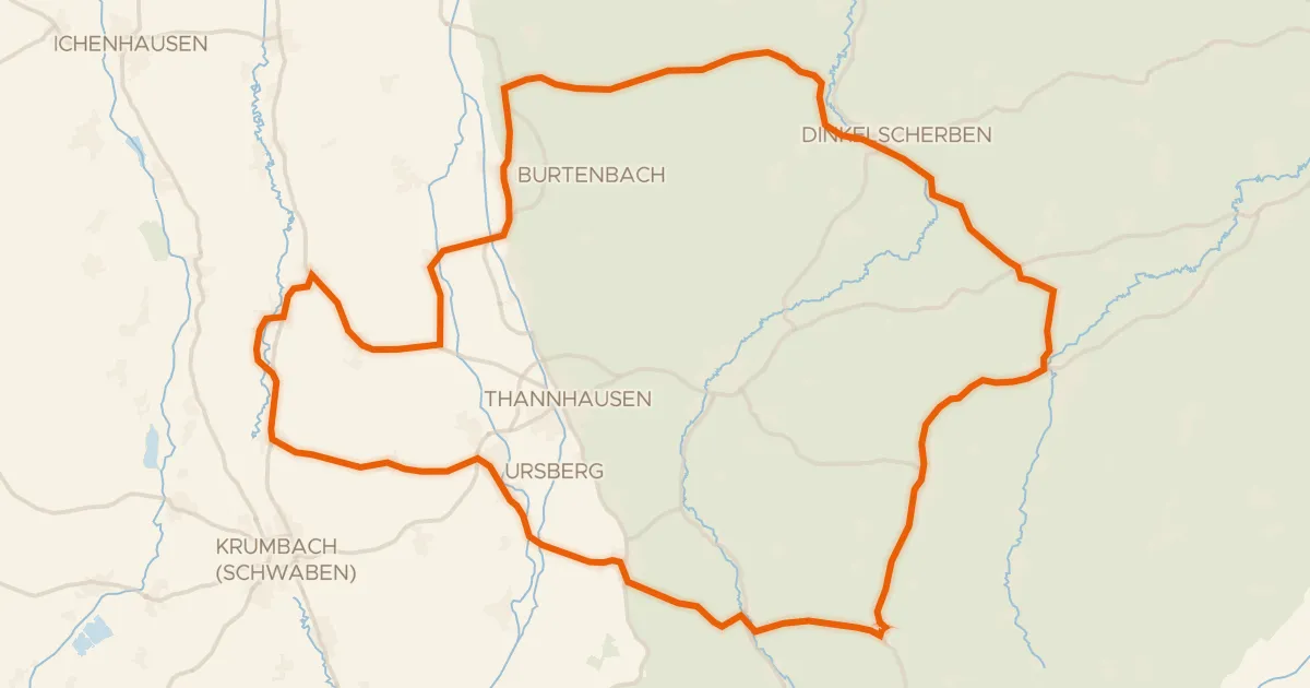
Rondje Schloss Burtenbach en Mindel
73 km↑ 632 m11 km away
Gravel18% paved
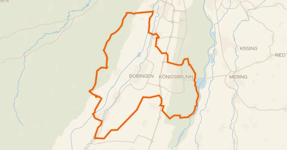
Rondje Schloss Wellenburg en Lechtal-Nord
66 km↑ 293 m14 km away
Road bike100% paved
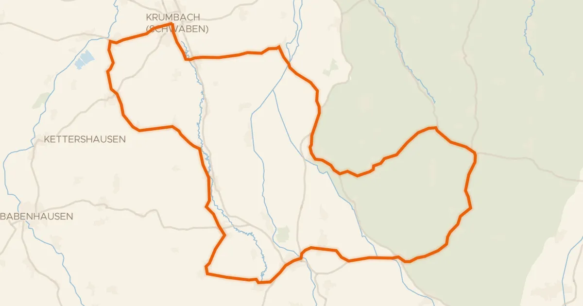
Rondje Krumbacher Schloss en Mindel
73 km↑ 662 m20 km away
Road bike100% paved
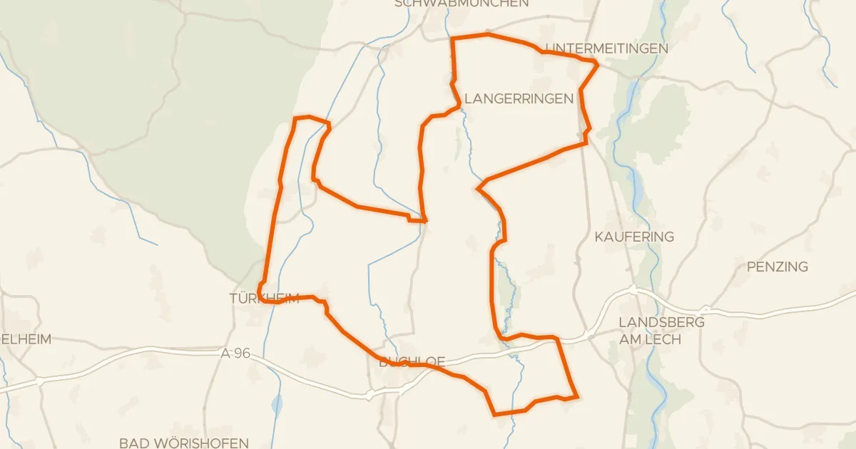
Rondje Schloss Hurlach en Wertach
76 km↑ 270 m23 km away
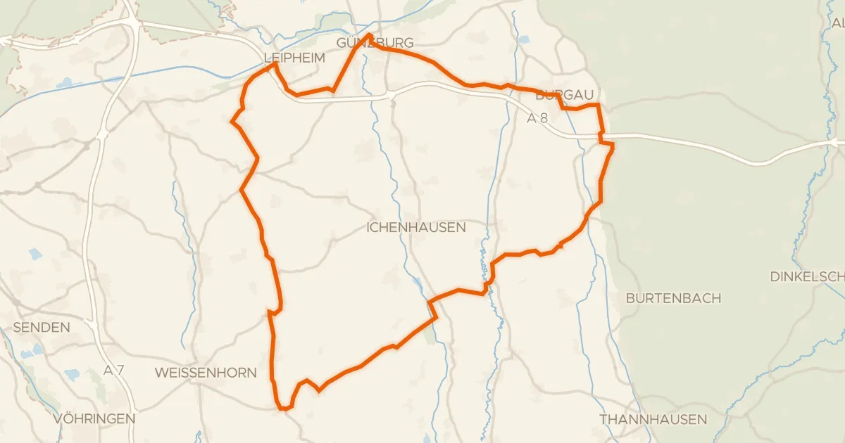
Road bike98% paved
Rondje Schloss Jettingen en Taubried
74 km↑ 555 m27 km away
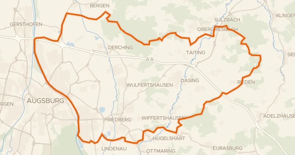
Gravel22% paved
Rondje Stadtwald Augsburg en Firnhaberauheide
65 km↑ 677 m29 km away