Back to the librarykm 4 · Apr 2019 · © tst / Mapillary, CC BY-SA km 20 · Jan 2026 · © msdess / Mapillary, CC BY-SA km 55 · Jul 2026 · © ray66 / Mapillary, CC BY-SA km 14–14
GravelRouteCasterRound trip
Rondje Schloss Großlaupheim en Riß
Distance
64 km
Ascent
496 m
Highest point
644 m
38% paved
Start from your location
Ride there from home: we find the shortest way to the loop and start the loop from there.
The ride
This ride rolls out of Laupheim and back again, 63.9 km with 496 m of climbing. You pass Schloss Großlaupheim, then follow the Riß and the Rottum on a route that's mostly unpaved. It's a loop that keeps the castle, both rivers and the home stretch in easy reach.
Along the way
Climbs
Climb 1Hill
0.6 km at 5.1% · max 10.8%
Routes nearby
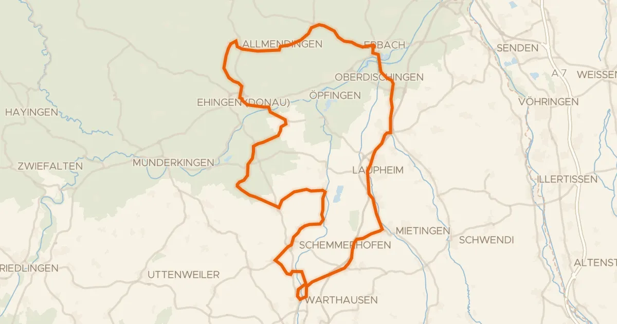
Road bike99% paved
Rondje Schloss Allmendingen en Mohn'scher Park
89 km↑ 595 m6 km away
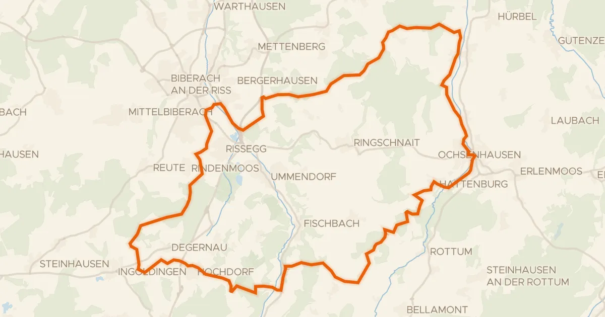
Gravel40% paved
Rondje Wettenberger Ried en de Rottum
61 km↑ 764 m18 km away
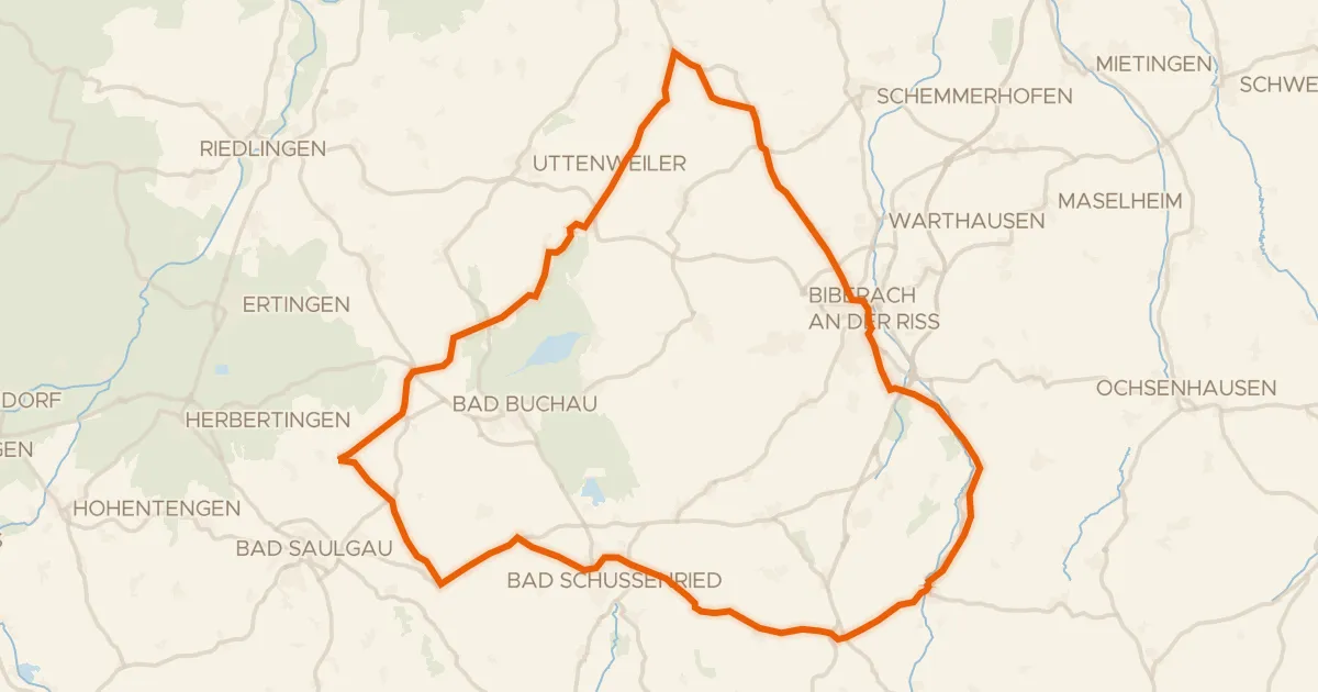
Road bike100% paved
Rondje Federsee en Riß
82 km↑ 910 m22 km away
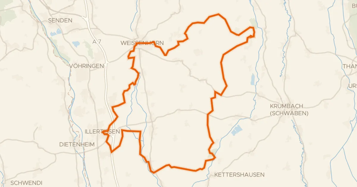
Gravel22% paved
Rondje Vöhlinschloss en Taubried
80 km↑ 613 m25 km away
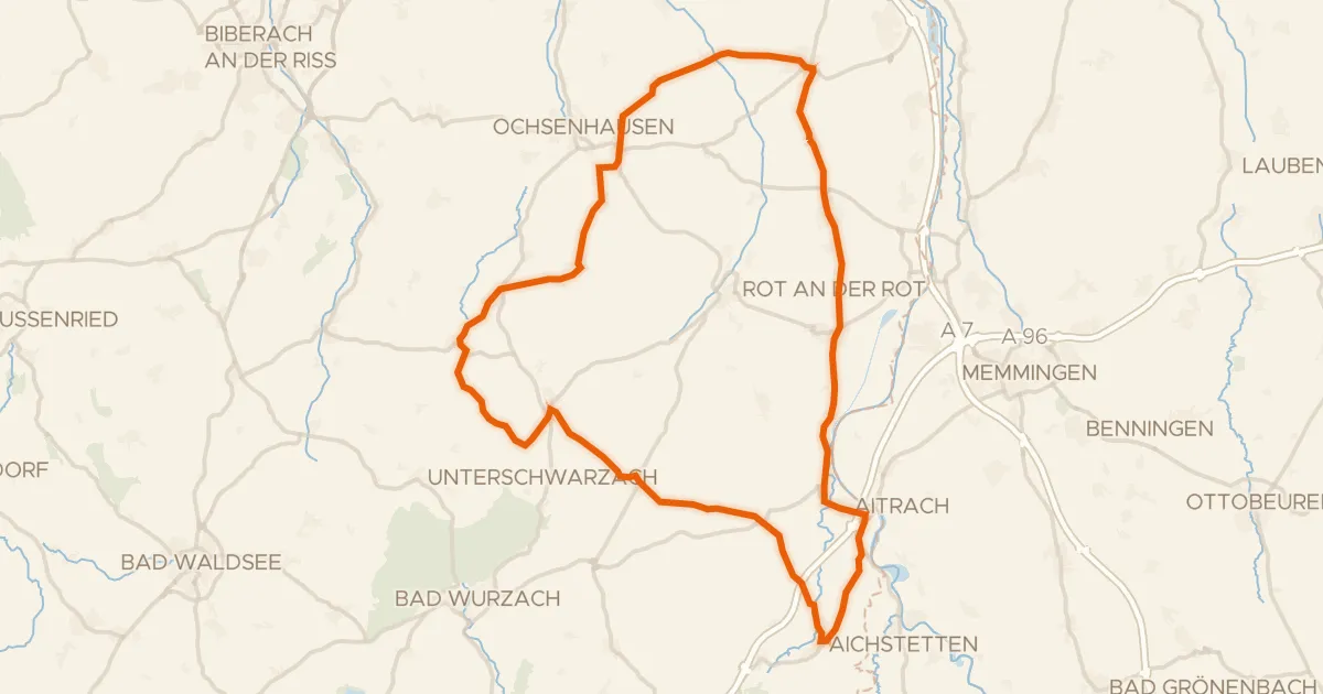
Road bike99% paved
Rondje Burgruine Marstetten en Iller
71 km↑ 589 m27 km away
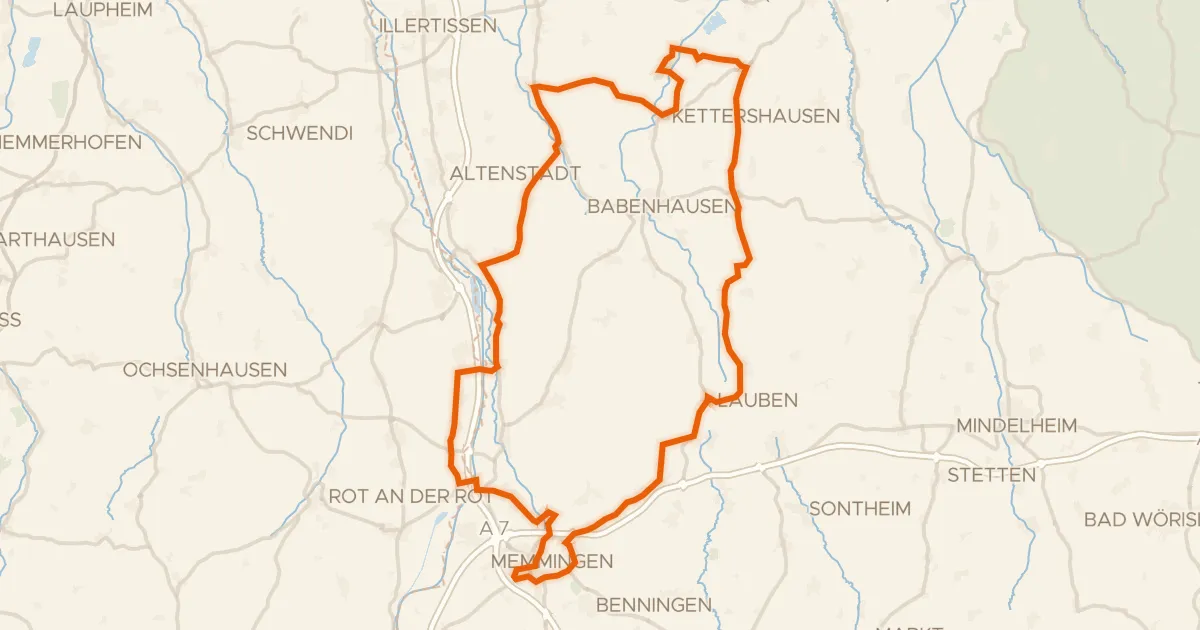
Road bike98% paved
Rondje Schloss Grünenfurt en Iller
91 km↑ 588 m29 km away