Back to the librarykm 33 · Jul 2021 · © changchun1 / Mapillary, CC BY-SA km 23–26km 40–42km 45–47
GravelRouteCasterRound trip
Rondje Weltenburger Enge en Donau
Distance
63 km
Ascent
772 m
Highest point
488 m
23% paved
Start from your location
Ride there from home: we find the shortest way to the loop and start the loop from there.
The ride
Roll out of Biburg and let the ride unfold: first alongside the Donau river, then into the Naturpark Altmühltal. Onward through the Weltenburger Enge and across the Sandharlander Heide, both nature reserves, before the route turns back to Biburg. Of the 62.7 km, most runs unpaved, with 772 m of climbing along the way.
Along the way
Climbs
Climb 1Cat. 4
2.2 km at 4.7% · max 15.7%
Climb 2Hill
1.3 km at 3.5% · max 10.5%
Climb 3Hill
1.8 km at 3.9% · max 16.3%
Routes nearby
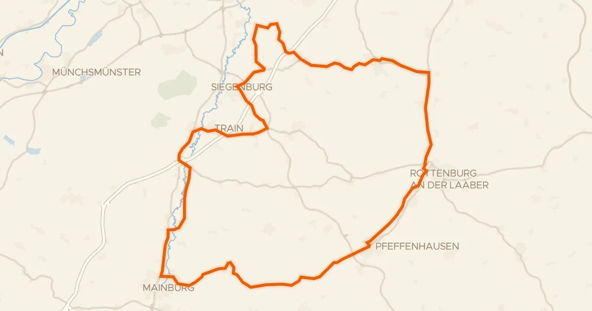
Road bike99% paved
Rondje Wasserschloss Train en Schloß Ratzenhofen
69 km↑ 539 m9 km away
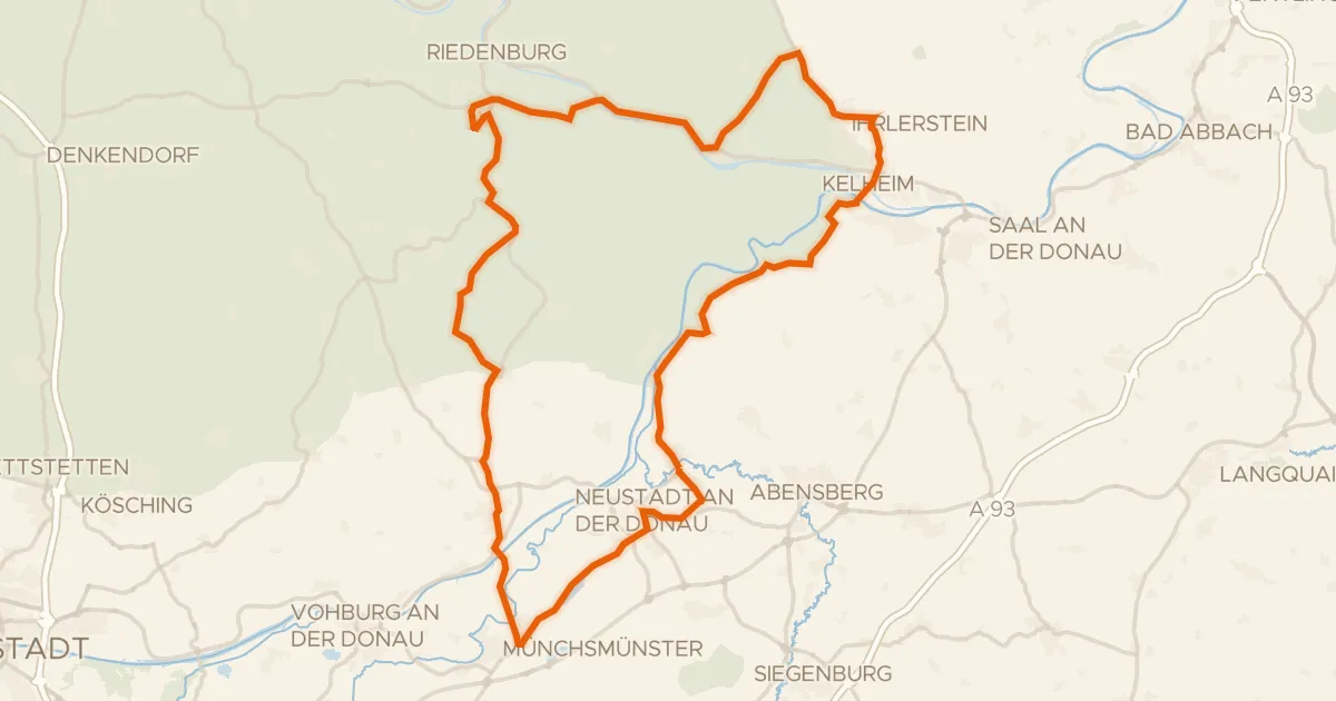
Road bike98% paved
Rondje Schloss Prunn en Weltenburger Enge
78 km↑ 918 m10 km away
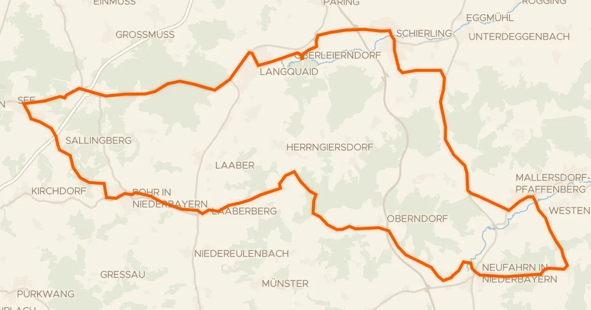
Road bike98% paved
Rondje Wasserschloss Offenstetten en Schloss Oberellenbach
74 km↑ 673 m16 km away
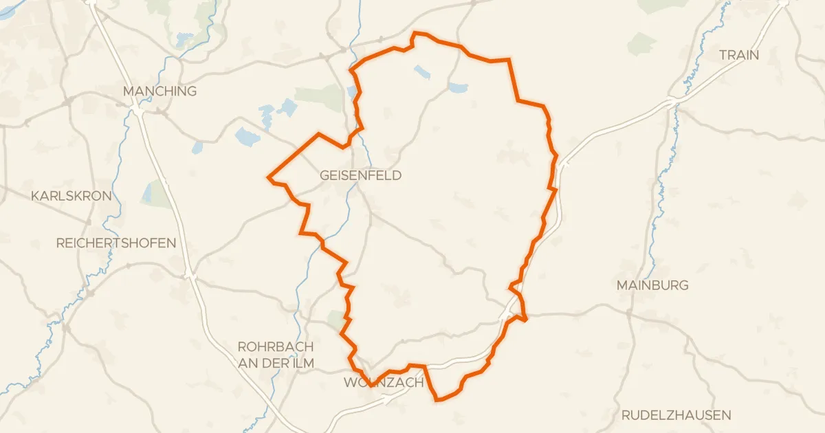
Gravel30% paved
Rondje Dürnbucher Forst en Ilm
60 km↑ 566 m20 km away
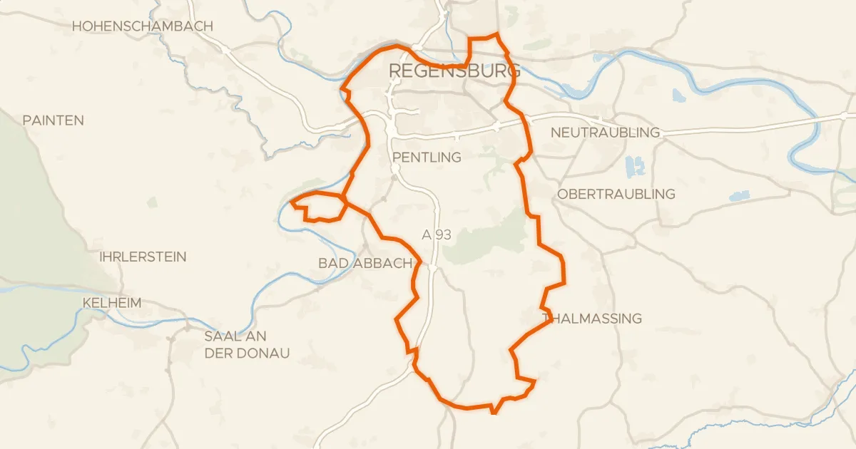
Gravel32% paved
Rondje Königliche Villa en Donau
73 km↑ 815 m25 km away
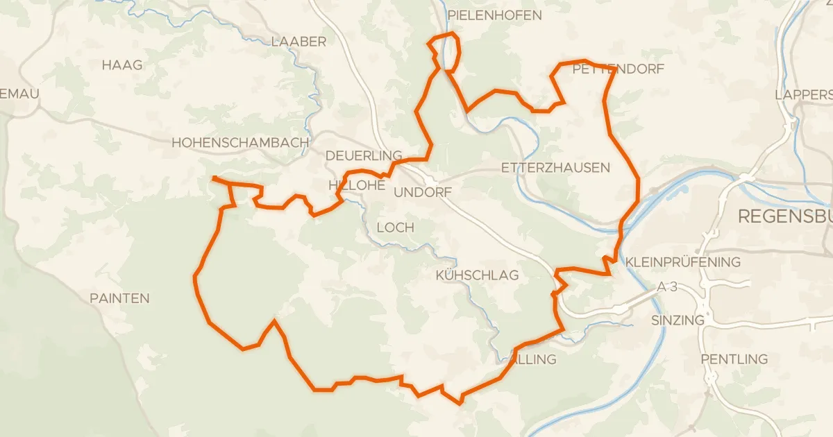
Gravel25% paved
Rondje Wuzenfelsen en Donau
60 km↑ 1,183 m26 km away