Back to the library
GravelRouteCasterRound trip

Rondje Königliche Villa en Donau

Distance
73 km
Ascent
815 m
Highest point
467 m
32% paved

Start from your location

Ride there from home: we find the shortest way to the loop and start the loop from there.

The ride

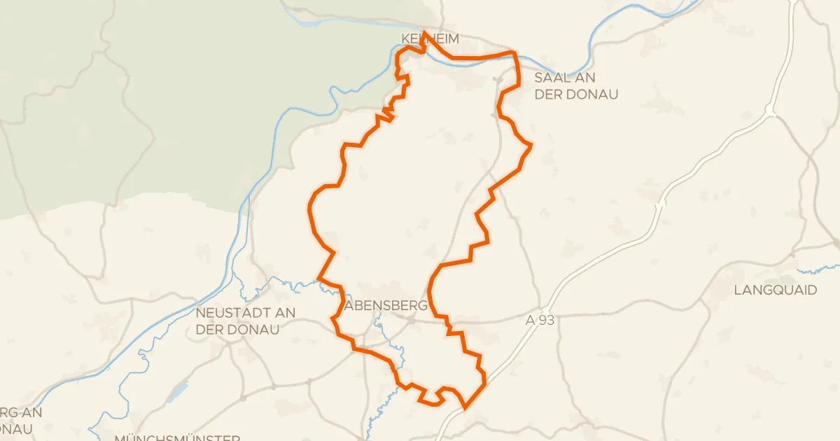
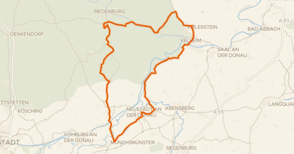
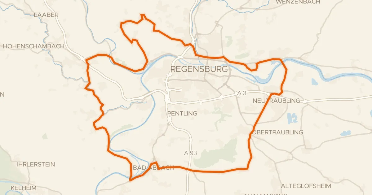
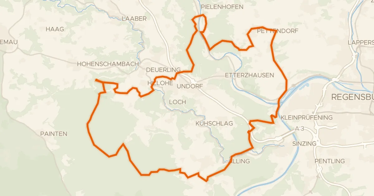
Roll out from Parkeerplaats Mattinger Hänge and the ride soon trades pavement for dirt, with most of the 72.9 km running unpaved. First up is the Max-Schultze-Steig nature reserve, then the Europakanal and the Donau rivers keep you company before three castles roll by: Goldenes Kreuz, Königliche Villa and Schloss Weichs. A final stretch through the Standortübungsplatz Oberhinkhofen nature reserve brings you back to where you started.
Along the way

Climbs

Climb 1Cat. 4
2.5 km at 3.6% · max 17.9%
km 0–3
Climb 2Hill
0.6 km at 8.7% · max 15.3%
km 3–3
Climb 3Hill
0.6 km at 4.3% · max 7%
km 41–42
Climb 4Hill
1.5 km at 3.9% · max 27.3%
km 47–49
Climb 5Hill
0.6 km at 7.1% · max 14.6%
km 58–59
Climb 6Hill
1 km at 4.4% · max 10.1%
km 63–64
Climb 7Hill
1.5 km at 4% · max 11.3%
km 65–66
Climb 8Hill
1.5 km at 4% · max 7.7%
km 69–71

Routes nearby

More cycling routes in Germany →