Back to the librarykm 34 · Sep 2020 · © patchi / Mapillary, CC BY-SA km 66 · Mar 2019 · © geoeki / Mapillary, CC BY-SA km 29–30km 36–38km 39–40km 55–56km 61–64
Road bikeRouteCasterRound trip
Rondje Schloss Prunn en Weltenburger Enge
Distance
78 km
Ascent
918 m
Highest point
535 m
98% paved
Start from your location
Ride there from home: we find the shortest way to the loop and start the loop from there.
The ride
Roll out of Bad Gögging and the Altmühltal nature reserve opens the ride, before Schloss Hexenagger's castle grounds slide past. Next come the Klamm und Kastlhäng reserve and Schloss Prunn, then Burg Randeck's castle, with the Weltenburger Enge reserve rounding things off. Around 77.7 km with 918 m of climbing, almost all on paved surface, and back to where you started.
Along the way
Climbs
Climb 1Hill
0.6 km at 4.2% · max 5.5%
Climb 2Cat. 4
1.7 km at 4.8% · max 20.6%
Climb 3Cat. 4
1.9 km at 5.6% · max 13.8%
Climb 4Hill
0.8 km at 5.2% · max 8.5%
Climb 5Cat. 4
3 km at 4.8% · max 13.3%
Routes nearby
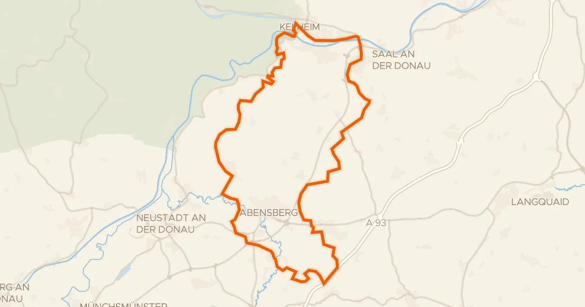
Gravel23% paved
Rondje Weltenburger Enge en Donau
63 km↑ 772 m7 km away
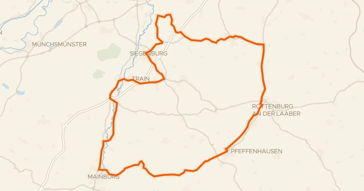
Road bike99% paved
Rondje Wasserschloss Train en Schloß Ratzenhofen
69 km↑ 539 m15 km away
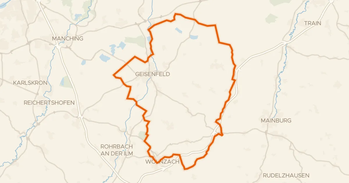
Gravel30% paved
Rondje Dürnbucher Forst en Ilm
60 km↑ 566 m20 km away
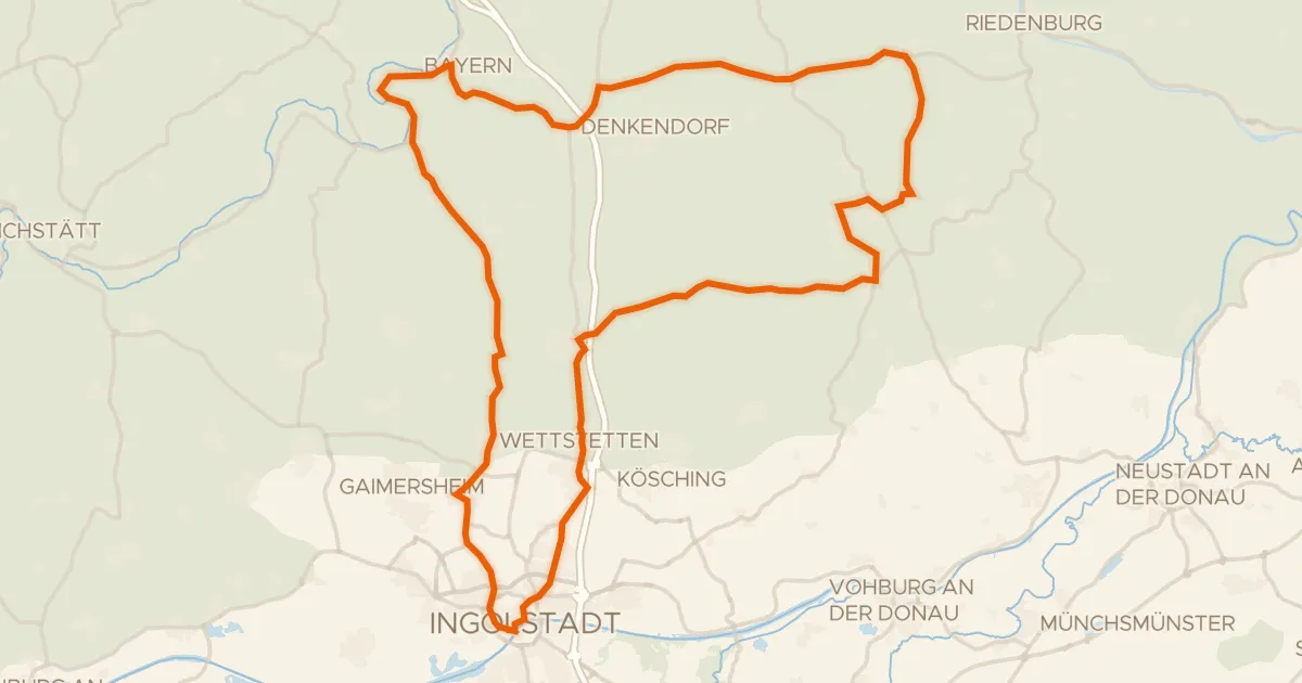
Road bike99% paved
Rondje langs de Altmühl en het Naturpark Altmühltal
86 km↑ 783 m21 km away
Road bike98% paved
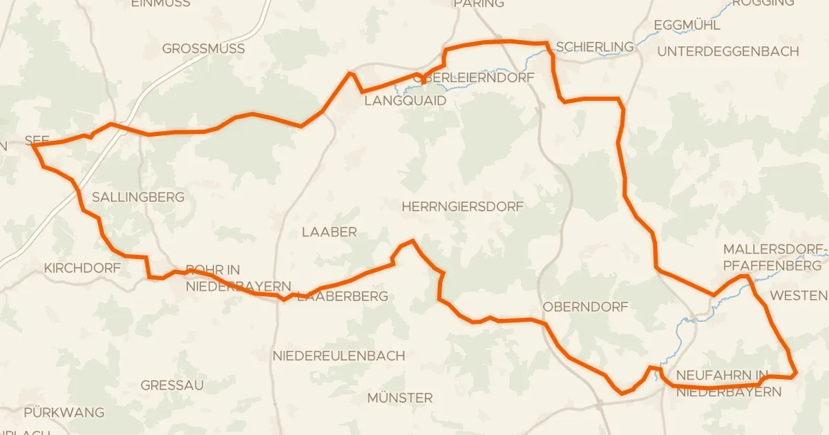
Rondje Wasserschloss Offenstetten en Schloss Oberellenbach
74 km↑ 673 m22 km away
Gravel67% paved
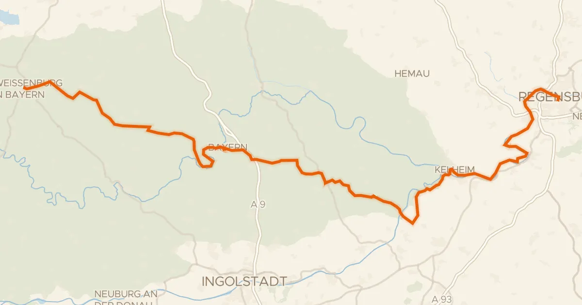
Deutscher Limes-Radweg 6. Abschnitt Weißenburg - Regensburg
145 km↑ 1,399 m22 km away