Back to the librarykm 21 · Aug 2026 · © santon / Mapillary, CC BY-SA km 33–34km 40–41km 49–49km 50–51km 51–52
GravelRouteCasterRound trip
Rondje Dürnbucher Forst en Ilm
Distance
60 km
Ascent
566 m
Highest point
513 m
30% paved
Start from your location
Ride there from home: we find the shortest way to the loop and start the loop from there.
The ride
Roll out of Wolnzach and follow the Ilm river before the route turns into the Dürnbucher Forst. Of the 60.2 km, most run unpaved, so the mix of surfaces keeps the legs guessing. A steady 566 m of climbing builds up along the way, and the forest roads carry you back toward Wolnzach to close the loop.
Along the way
Climbs
Climb 1Hill
0.8 km at 4.3% · max 11.9%
Climb 2Hill
0.8 km at 6% · max 14%
Climb 3Hill
0.6 km at 4.9% · max 7.1%
Climb 4Hill
1 km at 5.2% · max 9.5%
Climb 5Hill
0.7 km at 3.7% · max 7.7%
Routes nearby
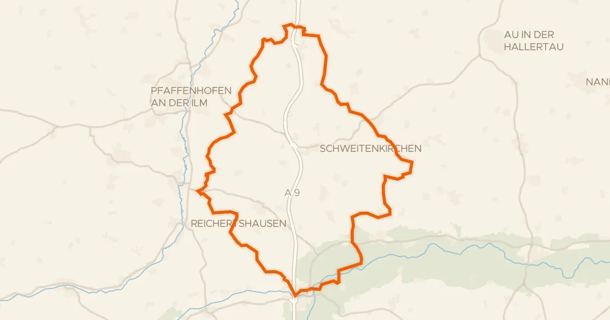
Gravel11% paved
Rondje Ampertal en Glonn
59 km↑ 896 m12 km away
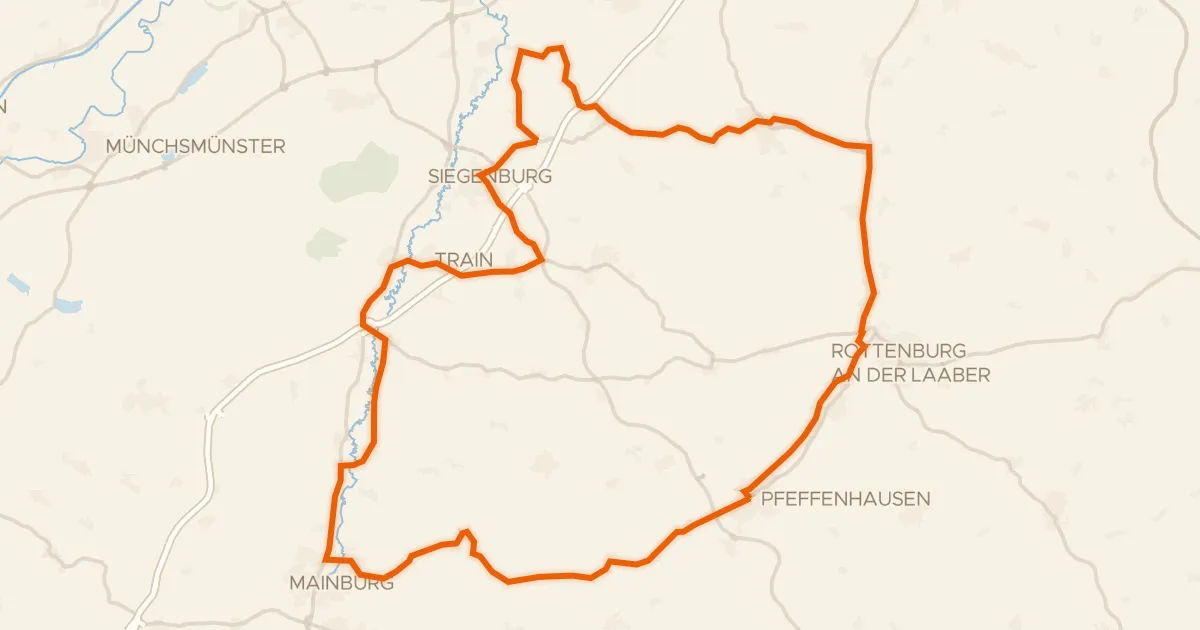
Road bike99% paved
Rondje Wasserschloss Train en Schloß Ratzenhofen
69 km↑ 539 m24 km away
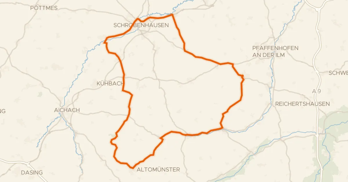
Road bike97% paved
Langs de Paar en de Ilm
75 km↑ 686 m26 km away
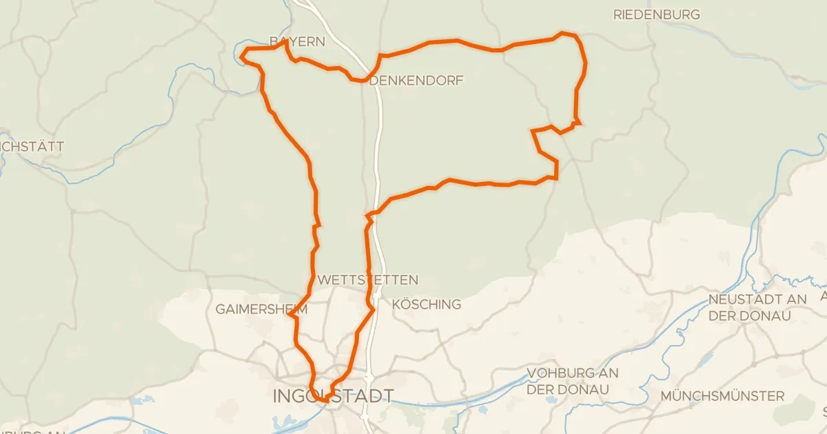
Road bike99% paved
Rondje langs de Altmühl en het Naturpark Altmühltal
86 km↑ 783 m30 km away
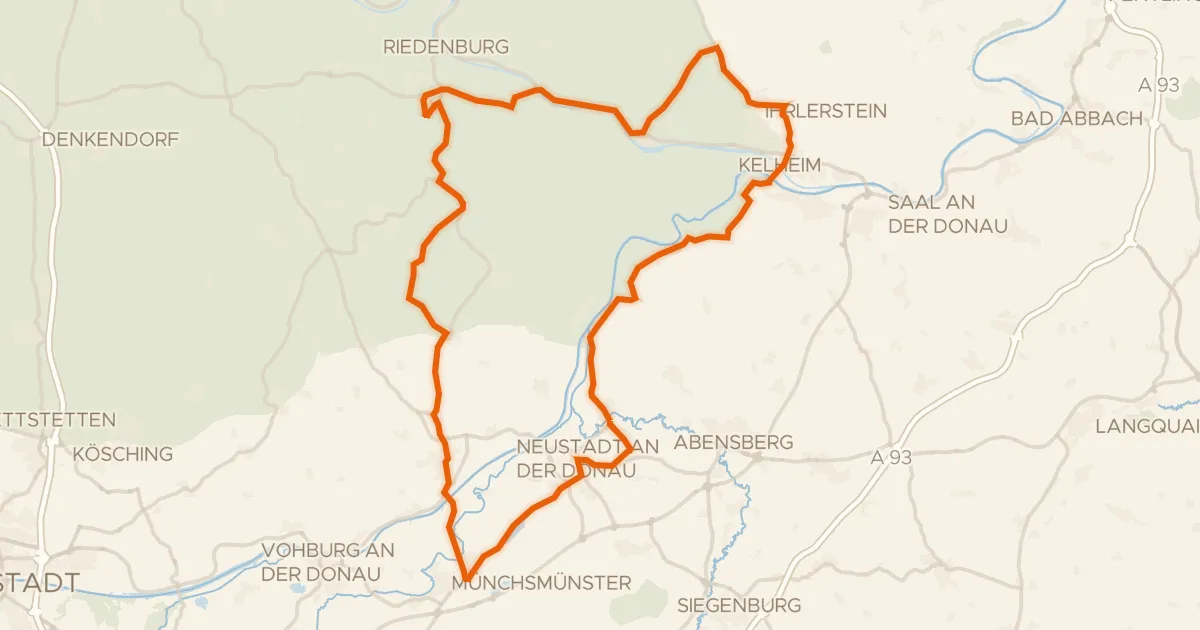
Road bike98% paved
Rondje Schloss Prunn en Weltenburger Enge
78 km↑ 918 m31 km away
Road bike100% paved
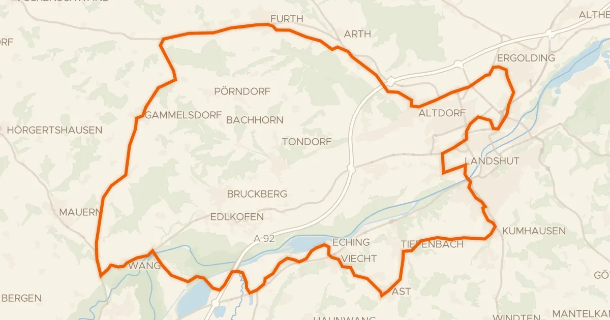
Rondje Isareck en Isar
69 km↑ 447 m32 km away