Back to the librarykm 17 · Sep 2026 · © Crotaro / Mapillary, CC BY-SA km 36 · Oct 2026 · © eisbzs / Mapillary, CC BY-SA km 70 · Jul 2020 · © mapcreator / Mapillary, CC BY-SA km 0–1km 8–9km 74–75
Road bikeRouteCasterRound trip
Langs de Paar en de Ilm
Distance
75 km
Ascent
686 m
Highest point
535 m
97% paved
Start from your location
Ride there from home: we find the shortest way to the loop and start the loop from there.
The ride
Roll out of Scheyern and follow the Ilm river on a 75.1 km loop that keeps you on paved roads for almost all of the way. Past the Landschaftsteile bei Thalhausen nature reserve the route turns toward the Paar river before swinging back to Scheyern. With 686 m of climbing, it's a steady day in the saddle.
Along the way
Climbs
Climb 1Hill
0.9 km at 3.9% · max 9.6%
Climb 2Hill
0.6 km at 4.3% · max 11.9%
Climb 3Hill
0.5 km at 6.9% · max 16.1%
Routes nearby
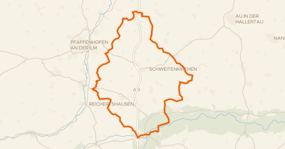
Gravel11% paved
Rondje Ampertal en Glonn
59 km↑ 896 m10 km away
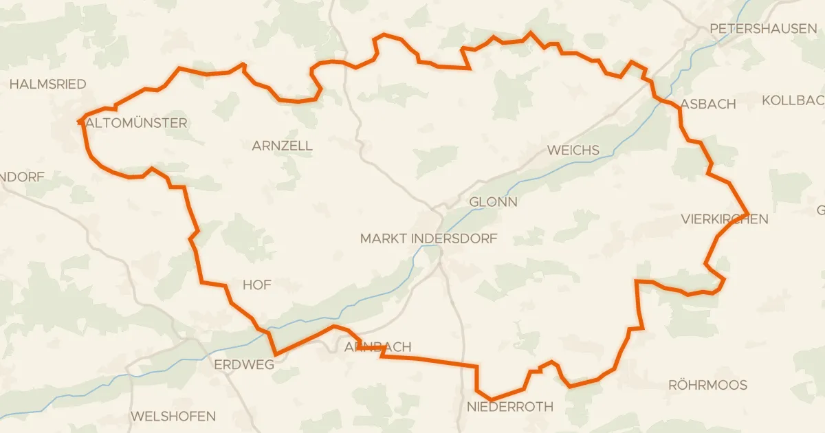
Gravel23% paved
Rondje Glonntal en Glonn
61 km↑ 643 m16 km away
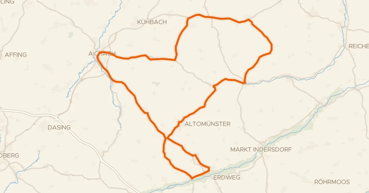
Road bike99% paved
Rondje Schloß Unterweikertshofen en Glonntal
75 km↑ 674 m17 km away
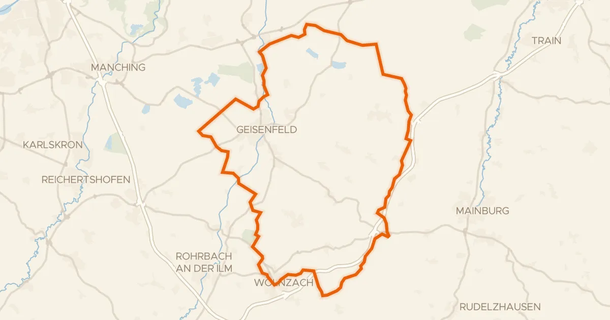
Gravel30% paved
Rondje Dürnbucher Forst en Ilm
60 km↑ 566 m23 km away
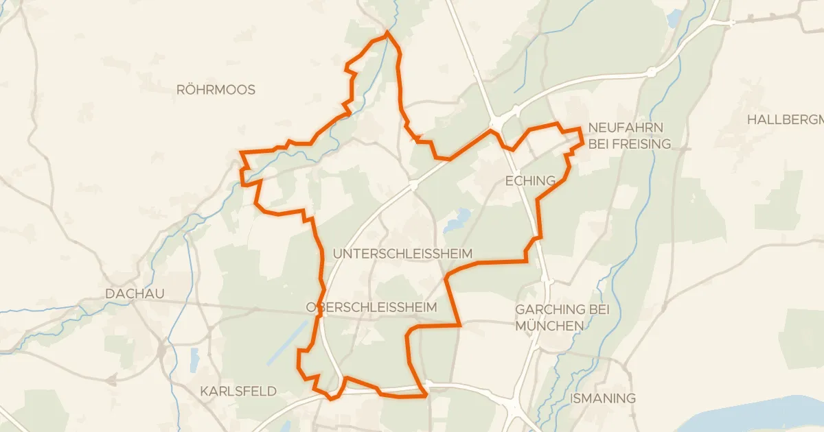
Gravel35% paved
Rondje Schloss Lustheim en Garchinger Heide
61 km↑ 139 m26 km away
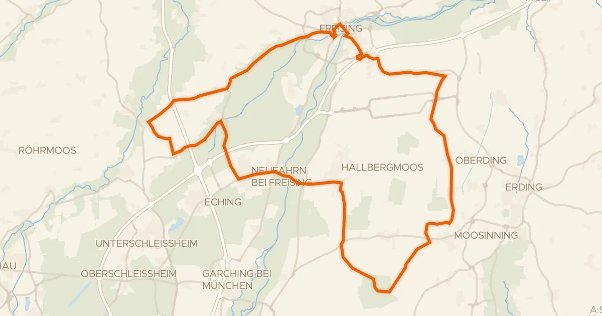
Road bike100% paved
Rondje Schloß Notzing en Freisinger Moos
74 km↑ 277 m27 km away