Back to the librarykm 8 · May 2026 · © DerSton / Mapillary, CC BY-SA km 36 · Jul 2025 · © peterpohl / Mapillary, CC BY-SA km 45 · Dec 2024 · © soulcover / Mapillary, CC BY-SA km 73 · Jul 2020 · © mapcreator / Mapillary, CC BY-SA
Road bikeRouteCasterRound trip
Rondje Schloß Notzing en Freisinger Moos
Distance
74 km
Ascent
277 m
Highest point
509 m
100% paved
Start from your location
Ride there from home: we find the shortest way to the loop and start the loop from there.
The ride
Roll out of Freising and let the ride unfold: first the Isarlandschaft nature reserve, then past Schloß Notzing castle. On through the Zengermoos and the Mooslandschaft südlich Hallbergmoos, both nature reserves, before the Freisinger Moos brings you home. It's 74.1 km, all paved, with 277 m of climbing along the way.
Along the way
Routes nearby
Gravel11% paved
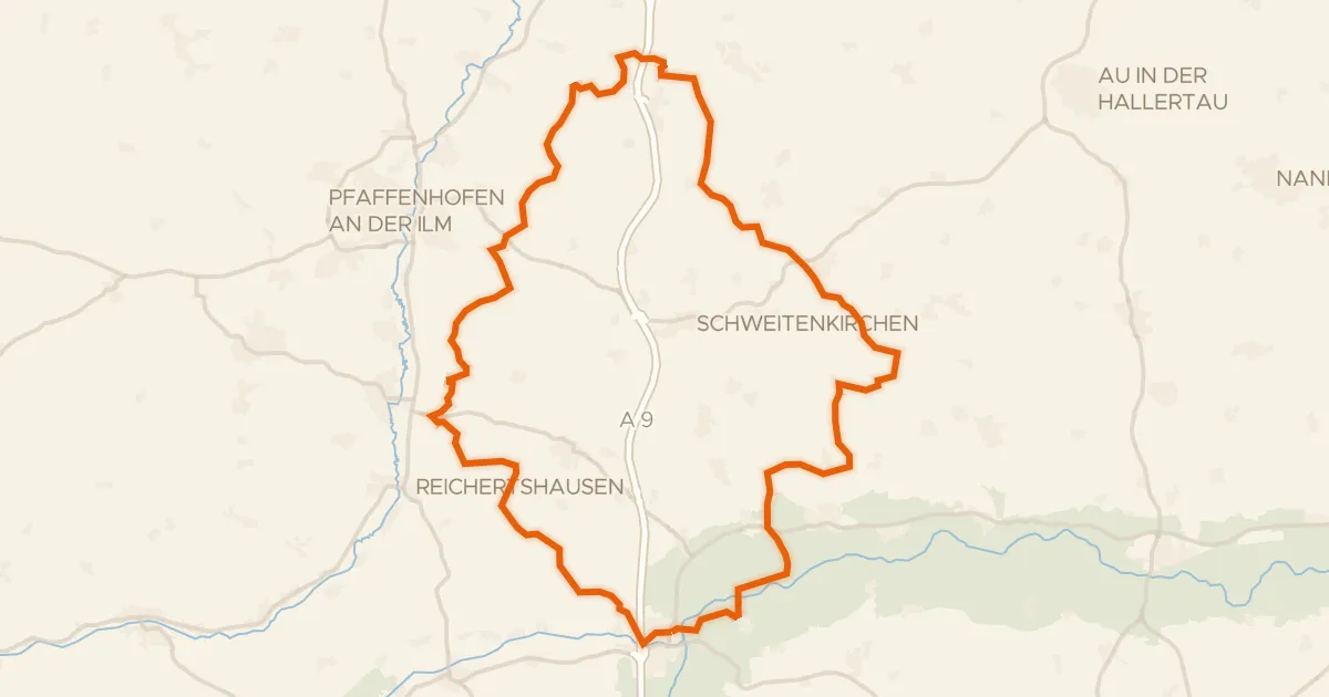
Rondje Ampertal en Glonn
59 km↑ 896 m15 km away
Gravel25% paved
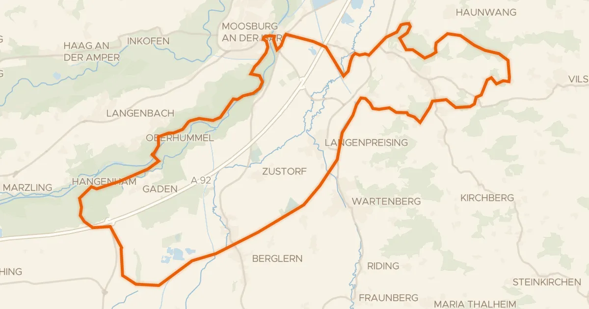
Rondje Freisinger Buckl en Vogelfreistätte Eittinger Weiher
60 km↑ 449 m16 km away
Road bike100% paved
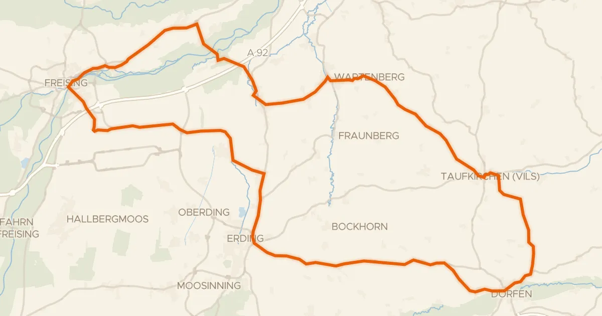
Rondje Wasserschloss en Mühle Attaching
93 km↑ 580 m17 km away
Gravel35% paved
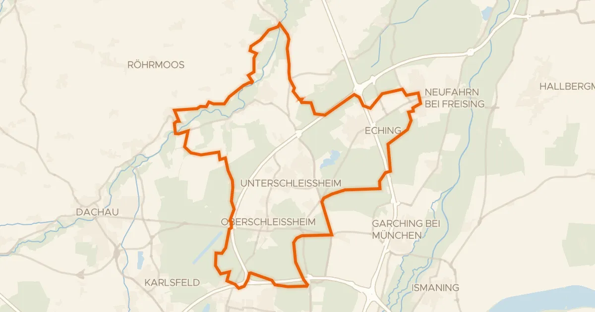
Rondje Schloss Lustheim en Garchinger Heide
61 km↑ 139 m18 km away
Gravel24% paved
Rondje Stadtresidenz en Ampertal
60 km↑ 525 m25 km away
Road bike100% paved
Rondje Isareck en Isar
69 km↑ 447 m27 km away