Back to the librarykm 26 · Nov 2024 · © masterofnoroad / Mapillary, CC BY-SA km 36 · Jun 2025 · © Langfahrer / Mapillary, CC BY-SA km 46 · May 2023 · © ber319 / Mapillary, CC BY-SA km 46–48
GravelRouteCasterRound trip
Rondje Straussee en Ihlandsee
Distance
60 km
Ascent
349 m
Highest point
153 m
20% paved
Start from your location
Ride there from home: we find the shortest way to the loop and start the loop from there.
The ride
Roll out of Strausberg and let the ride unfold: first along the Straussee, then past the Fauler See, and on to the Ihlandsee. Of the 60.2 km, most runs unpaved, with 349 m of climbing along the way. Three lakes, one loop, back to where you started.
Along the way
Climbs
Climb 1Hill
1.7 km at 3% · max 10.9%
Routes nearby
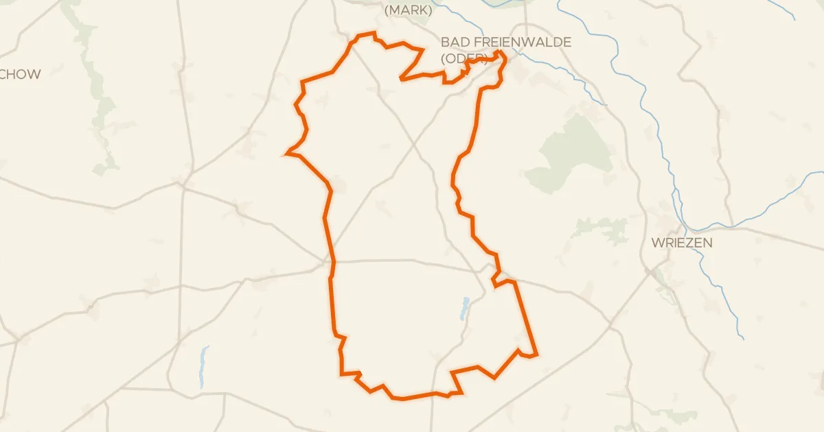
Gravel11% paved
Rondje Bad Freienwalde Schloss en Gamensee
60 km↑ 605 m17 km away
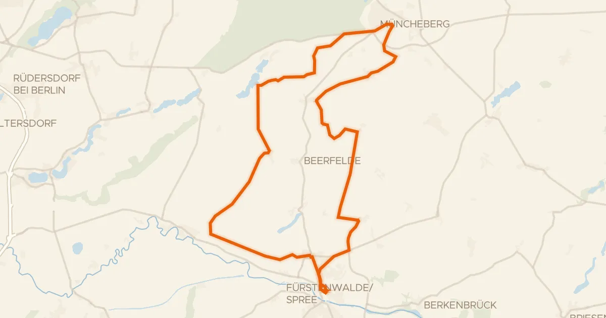
Gravel26% paved
Rondje Jagdschloss Fürstenwalde en Maxsee
59 km↑ 164 m20 km away
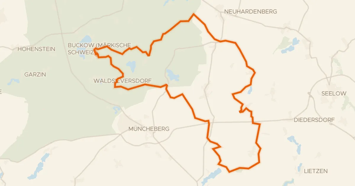
Gravel11% paved
Rondje Klobichsee en Stobbertal
64 km↑ 480 m21 km away
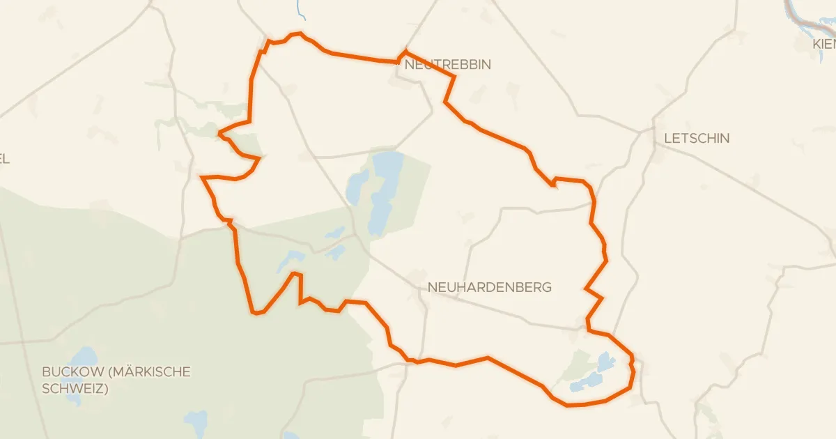
Gravel36% paved
Rondje Schloss Gusow en Stobbertal
60 km↑ 224 m24 km away
Road bike100% paved
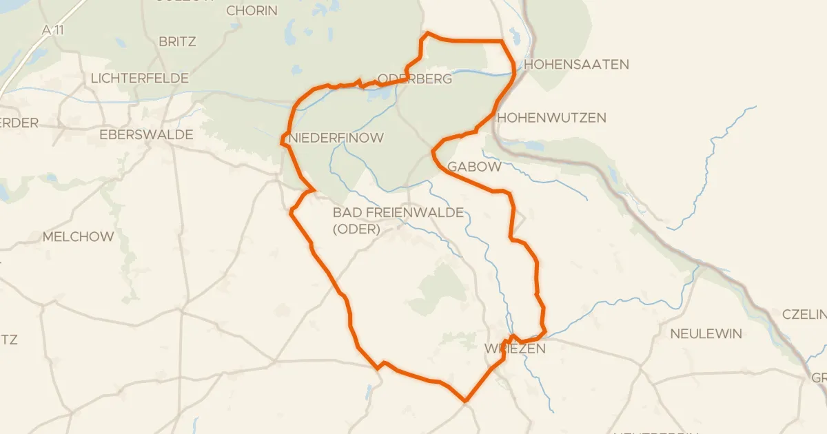
Rondje Pimpinellenberg en Niederoderbruch
77 km↑ 445 m26 km away
Road bike99% paved
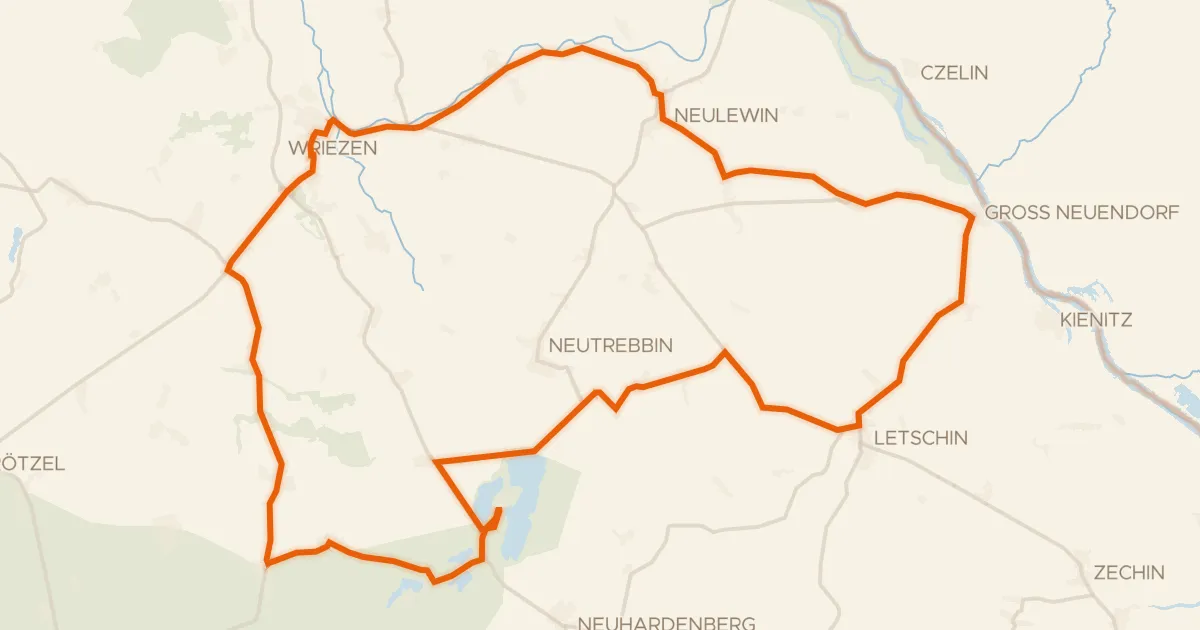
Rondje Naturpark Märkische Schweiz en Stobbertal
70 km↑ 161 m27 km away