Back to the librarykm 51 · Nov 2024 · © masterofnoroad / Mapillary, CC BY-SA km 0–2km 49–49km 50–52km 55–56km 57–57km 58–58
GravelRouteCasterRound trip
Rondje Bad Freienwalde Schloss en Gamensee
Distance
60 km
Ascent
605 m
Highest point
149 m
11% paved
Start from your location
Ride there from home: we find the shortest way to the loop and start the loop from there.
The ride
Roll out of Bad Freienwalde and past its Schloss, then let the route carry you to the Gamensee and on to the Teufelssee, all before looping back to where you began. Of the 59.7 km, most runs unpaved, with 605 m of climbing along the way. It's a ride that keeps its lakes and its castle in the order you'd want them.
Along the way
Climbs
Climb 1Hill
2 km at 3% · max 12.6%
Climb 2Hill
0.6 km at 6.1% · max 14.4%
Climb 3Cat. 4
1.9 km at 4.3% · max 10.4%
Climb 4Hill
0.7 km at 5.9% · max 10.4%
Climb 5Hill
0.5 km at 7.5% · max 17.9%
Climb 6Hill
0.5 km at 8.6% · max 16%
Routes nearby
Road bike100% paved
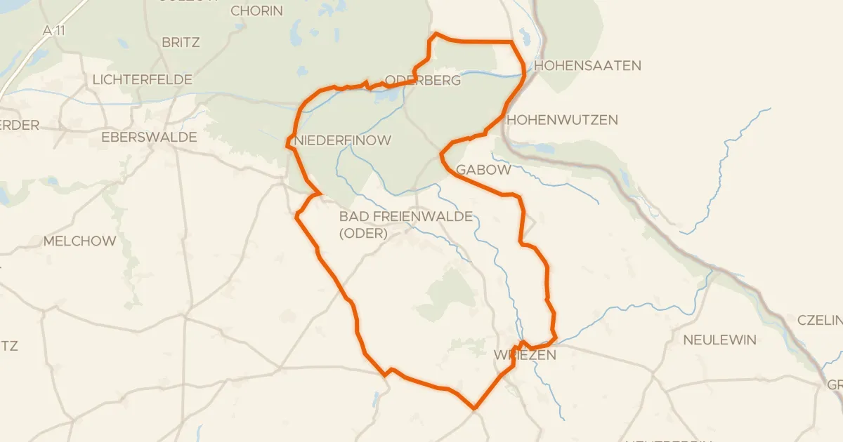
Rondje Pimpinellenberg en Niederoderbruch
77 km↑ 445 m1 km away
Gravel20% paved
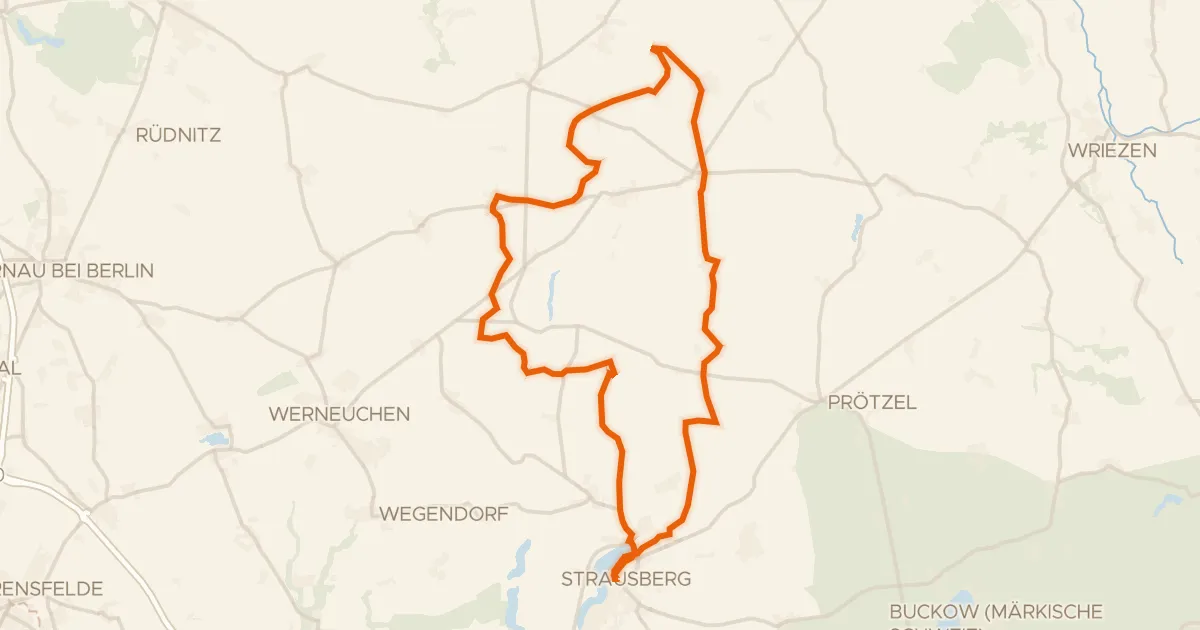
Rondje Straussee en Ihlandsee
60 km↑ 349 m17 km away
Road bike99% paved
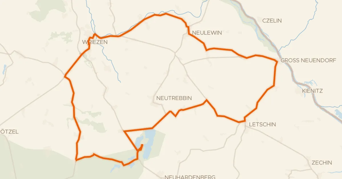
Rondje Naturpark Märkische Schweiz en Stobbertal
70 km↑ 161 m19 km away
Gravel36% paved
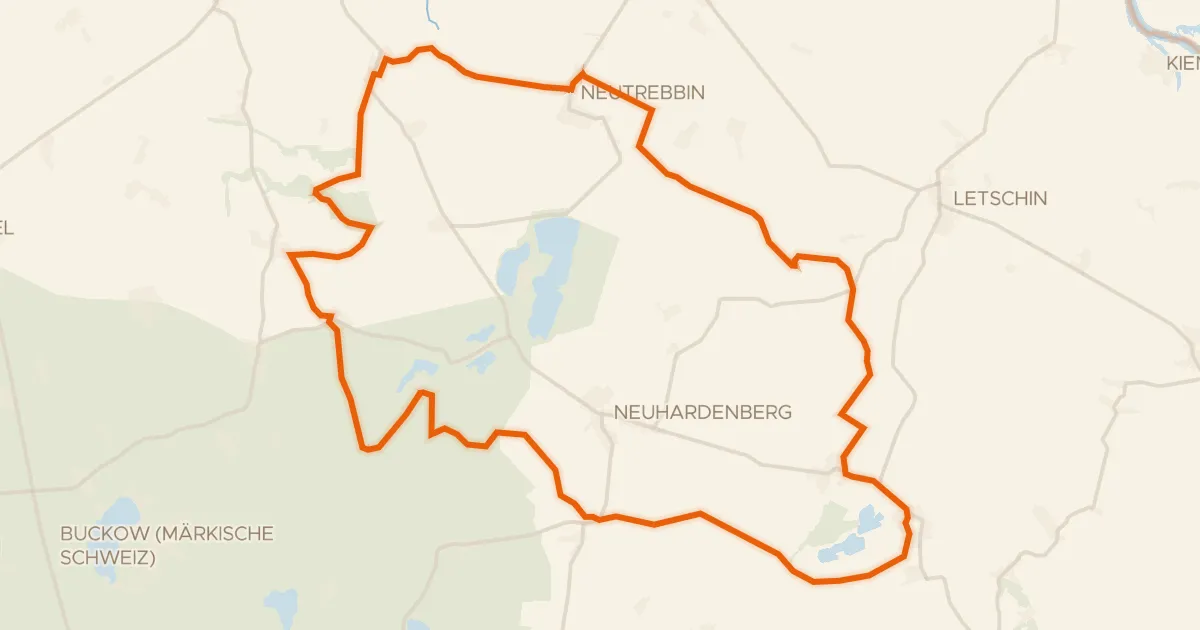
Rondje Schloss Gusow en Stobbertal
60 km↑ 224 m23 km away
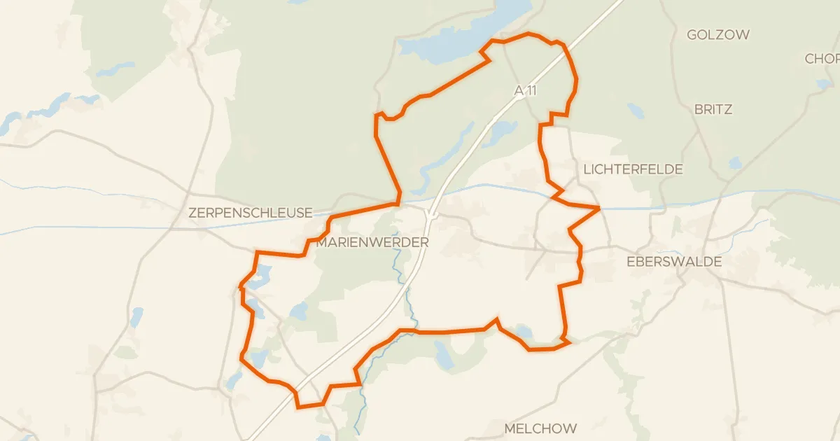
Gravel25% paved
Rondje Nonnenfließ-Schwärzetal en Buckowseerinne
62 km↑ 284 m26 km away
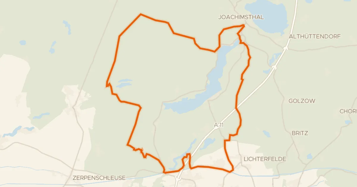
Gravel13% paved
Rondje Wasserturm BIORAMA-Projekt en Buckowseerinne
61 km↑ 314 m28 km away