Back to the librarykm 15 · Oct 2023 · © dsmm / Mapillary, CC BY-SA km 21 · Oct 2023 · © dsmm / Mapillary, CC BY-SA km 41 · Jul 2024 · © masterofnoroad / Mapillary, CC BY-SA km 63 · Aug 2025 · © Langfahrer / Mapillary, CC BY-SA km 28–29
Road bikeRouteCasterRound trip
Rondje Pimpinellenberg en Niederoderbruch
Distance
77 km
Ascent
445 m
Highest point
162 m
100% paved
Start from your location
Ride there from home: we find the shortest way to the loop and start the loop from there.
The ride
Roll out of Oderberg and the ride unfolds past Niederoderbruch, a nature reserve, then on to the Pimpinellenberg reserve. Next come the Kanonen- und Schloßberg with the Schäfergrund reserve, before the Trockenrasen Wriezen und Biesdorfer Kehlen. With 77.4 km of paved surface and 445 m of climbing, it loops you back to Oderberg.
Along the way
Climbs
Climb 1Hill
0.8 km at 3.2% · max 7.1%
Routes nearby
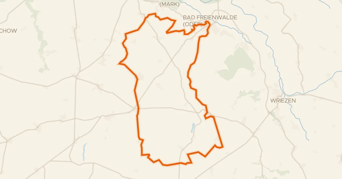
Gravel11% paved
Rondje Bad Freienwalde Schloss en Gamensee
60 km↑ 605 m16 km away
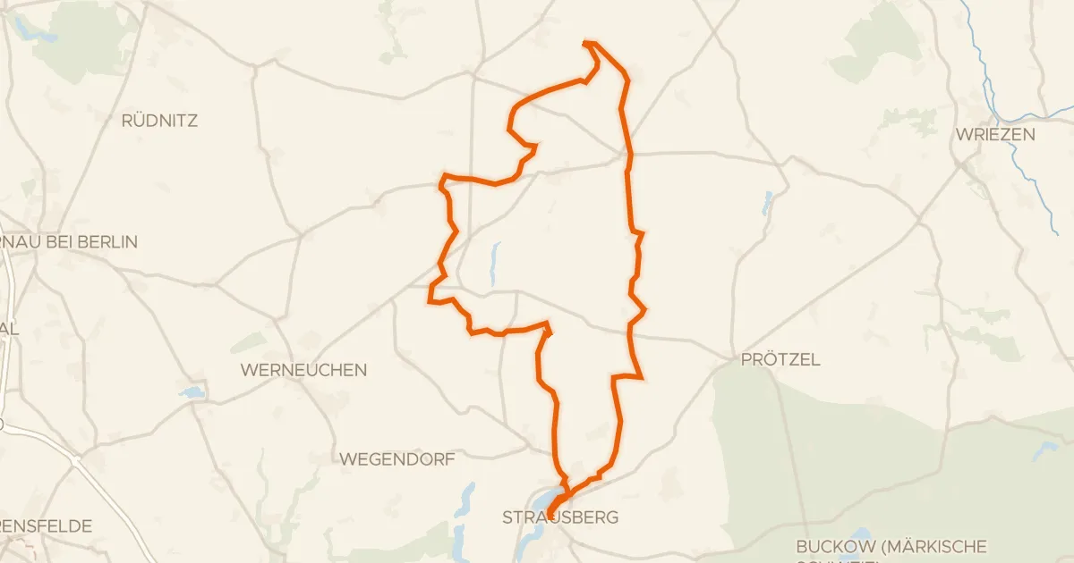
Gravel20% paved
Rondje Straussee en Ihlandsee
60 km↑ 349 m25 km away
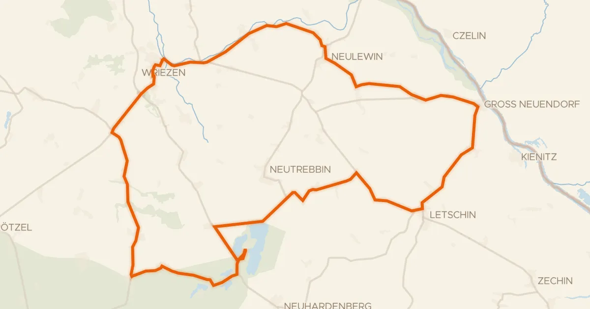
Road bike99% paved
Rondje Naturpark Märkische Schweiz en Stobbertal
70 km↑ 161 m25 km away
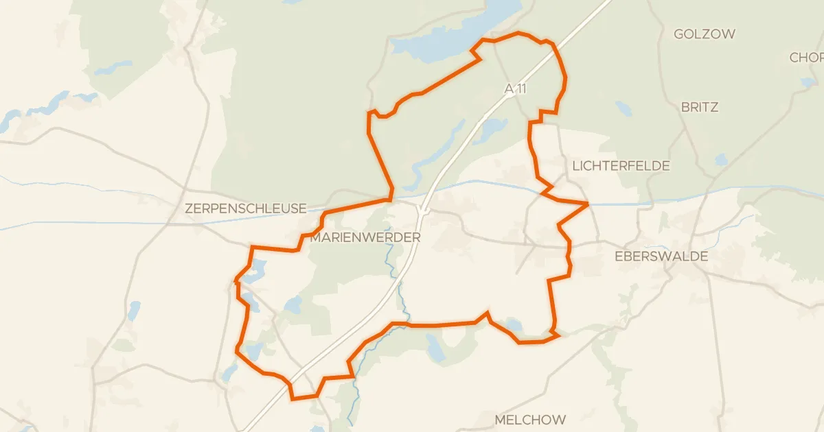
Gravel25% paved
Rondje Nonnenfließ-Schwärzetal en Buckowseerinne
62 km↑ 284 m26 km away
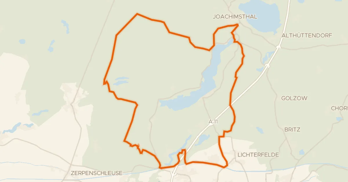
Gravel13% paved
Rondje Wasserturm BIORAMA-Projekt en Buckowseerinne
61 km↑ 314 m26 km away
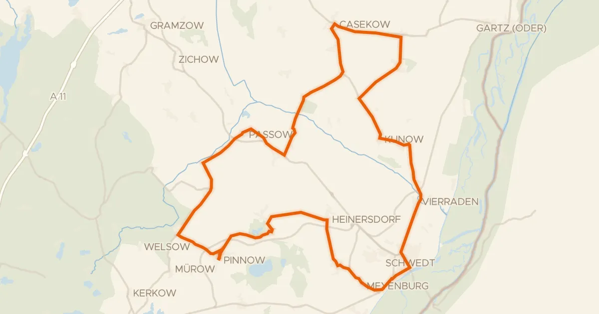
Road bike100% paved
Rondje Trockenrasen Jamikow en Landiner Haussee
77 km↑ 234 m30 km away