Back to the library
GravelRouteCasterRound trip

Rondje Stäffelsbergturm en Lauterniederung

Distance
58 km
Ascent
820 m
Highest point
433 m
39% paved

Start from your location

Ride there from home: we find the shortest way to the loop and start the loop from there.

The ride

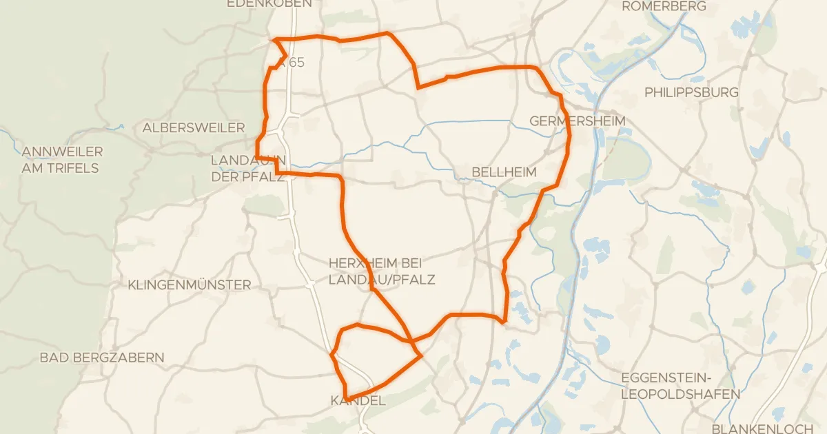
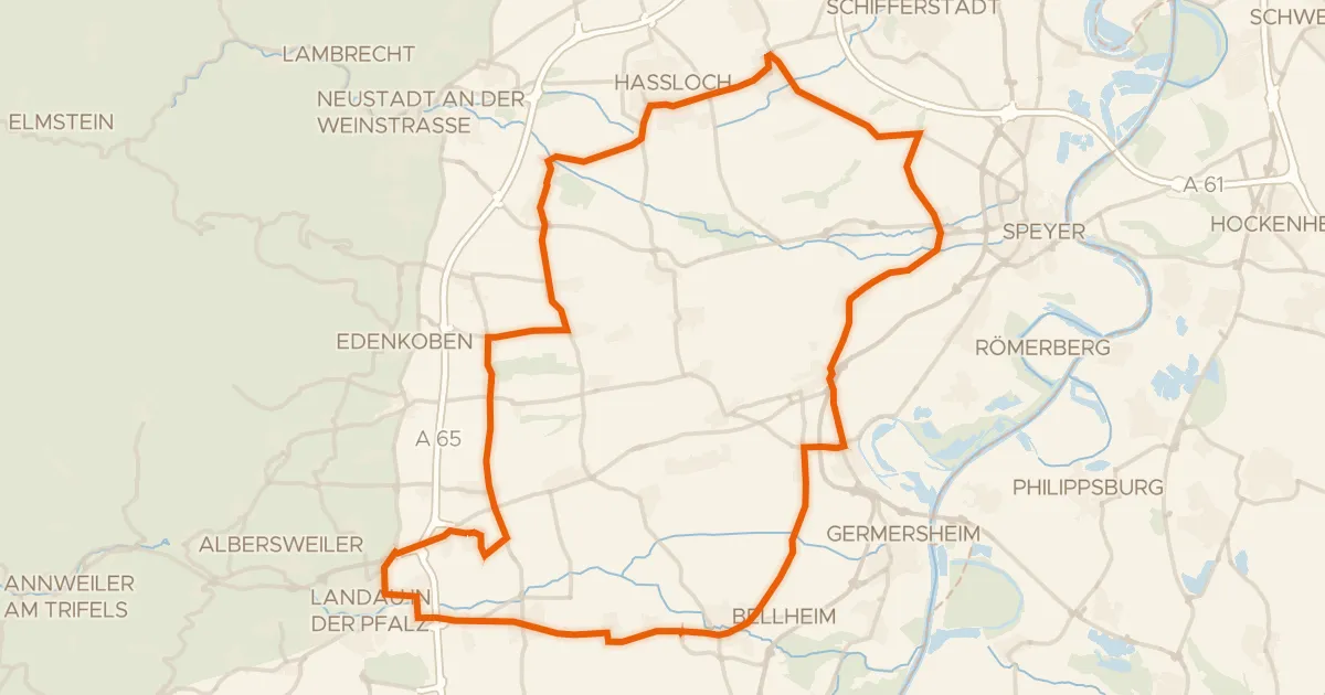
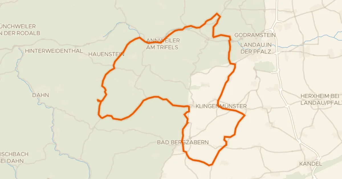
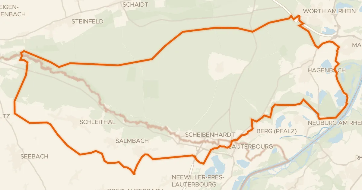
Roll out from Parkeerplaats Haardtrand - Lehnsberg and straight into the Haardtrand - Lehnsberg nature reserve. The route then passes through the Lauterniederung nature reserve before climbing to the Stäffelsbergturm viewpoint. After that it's on through the Haardtrand - Wolfsteig and Haardtrand - Gottesacker nature reserves, with 58.3 km and 820 m of climbing in total, mostly on unpaved surface. It ends back at the starting car park.
Along the way

km 6 · Jul 2022 · © VIA_TZ / Mapillary, CC BY-SA
km 31 · Jun 2023 · © mfa / Mapillary, CC BY-SA
km 57 · Jun 2018 · © chuck / Mapillary, CC BY-SA

Climbs

Climb 1Hill
0.9 km at 3.4% · max 7.5%
km 2–3
Climb 2Cat. 3
4.4 km at 5.3% · max 23.3%
km 41–45
Climb 3Hill
0.6 km at 10.2% · max 26.9%
km 49–49
Climb 4Cat. 3
3.3 km at 5.4% · max 17.7%
km 51–54
Climb 5Hill
0.7 km at 7.1% · max 11.4%
km 55–56

Routes nearby

More cycling routes in Germany →