Back to the librarykm 12 · Aug 2026 · © derlipper / Mapillary, CC BY-SA km 35 · Aug 2026 · © wegavision / Mapillary, CC BY-SA km 42 · Aug 2026 · © wegavision / Mapillary, CC BY-SA km 68 · Aug 2026 · © wegavision / Mapillary, CC BY-SA
Road bikeRouteCasterRound trip
Rondje Lünette 83 en Bienwald
Distance
80 km
Ascent
281 m
Highest point
172 m
99% paved
Start from your location
Ride there from home: we find the shortest way to the loop and start the loop from there.
The ride
Roll out of Kandel and into the Bienwald forest, then past the fort at Fronte Beckers and the castle of Lünette 83. The Bellheimer Wald follows, then the Eichtal-Brand nature reserve and the Hördter Rheinaue nature reserve. It's 79.9 km with 281 m of climbing, almost all on paved surface, and it brings you back to Kandel.
Along the way
Routes nearby
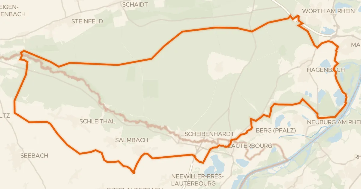
Gravel13% paved
Rondje Château Saint-Rémy d'Altenstadt en Lauterniederung
69 km↑ 240 m9 km away
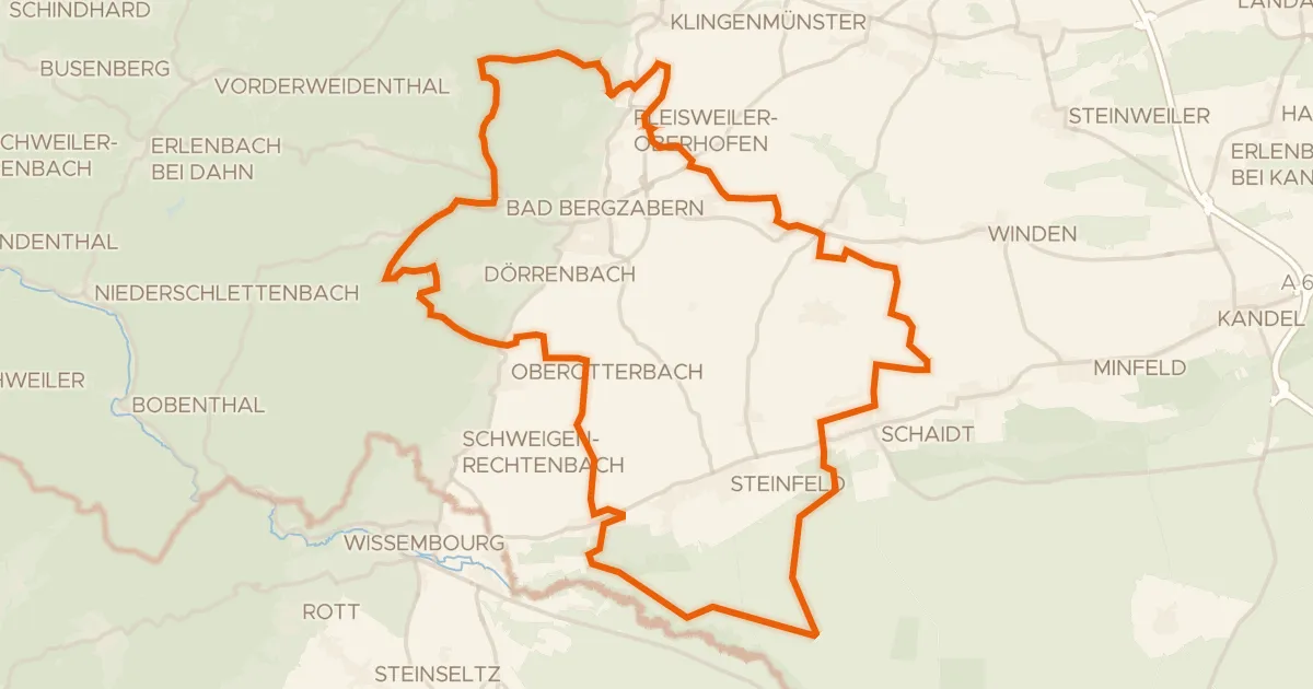
Gravel39% paved
Rondje Stäffelsbergturm en Lauterniederung
58 km↑ 820 m13 km away
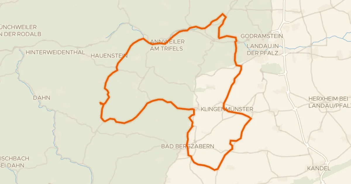
Road bike94% paved
Rondje Burg Landeck en Schloss Bad Bergzabern
74 km↑ 855 m17 km away
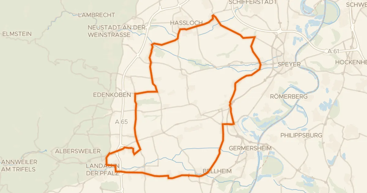
Road bike99% paved
Rondje Woogwiesen en Böhler Bruch-Kandelwiese
76 km↑ 242 m23 km away
Gravel39% paved
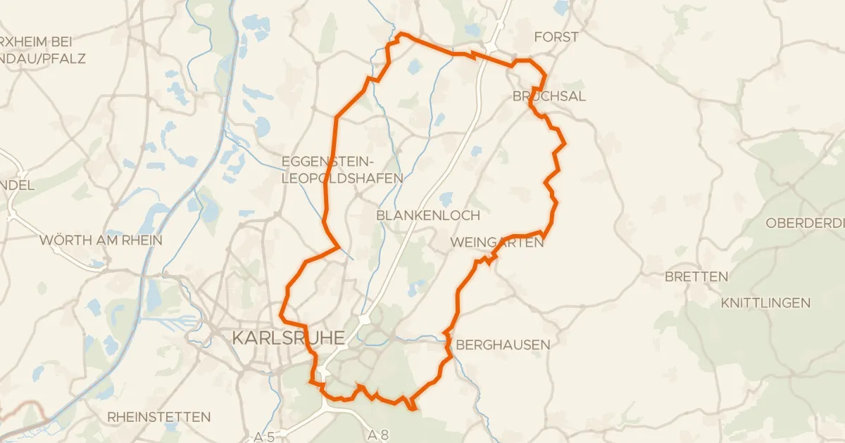
Rondje Schloss Bruchsal en Schloss Karlsruhe
78 km↑ 729 m23 km away
Gravel47% paved
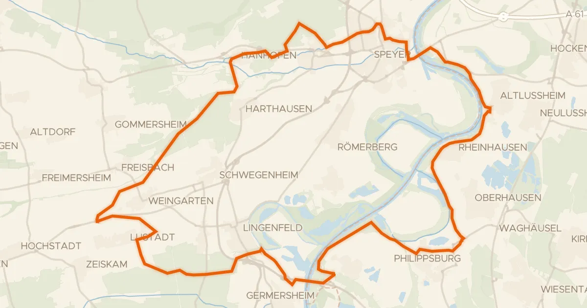
Rondje Schwarzwald en Bellheimer Wald
65 km↑ 200 m26 km away