Back to the librarykm 11 · Mar 2026 · © thetornado76 / Mapillary, CC BY-SA km 21 · Mar 2026 · © thetornado76 / Mapillary, CC BY-SA km 47 · Jun 2025 · © Schmarvis / Mapillary, CC BY-SA km 60 · Jun 2026 · © thetornado76 / Mapillary, CC BY-SA km 1–2km 37–38km 71–73km 74–76
Road bikeRouteCasterRound trip
Rondje Schwalenberger Wald en Schloss Bad Pyrmont
Distance
78 km
Ascent
837 m
Highest point
374 m
99% paved
Start from your location
Ride there from home: we find the shortest way to the loop and start the loop from there.
The ride
From Hummersen you roll out toward Schwalenberger Wald, a nature reserve, then past the castle Zur Burg Schwalenberg. The route continues through the woods at Blomberg and the Emmertal nature reserve before reaching Schloss Bad Pyrmont and the Kommandantenhaus. With 837 m of climbing over 77.9 km and 99% paved surface, it loops back to where it began.
Along the way
Climbs
Climb 1Hill
1.4 km at 3.1% · max 9%
Climb 2Hill
1 km at 3.3% · max 8.4%
Climb 3Hill
1.3 km at 3.8% · max 11.9%
Climb 4Hill
2.1 km at 3.3% · max 8.7%
Routes nearby
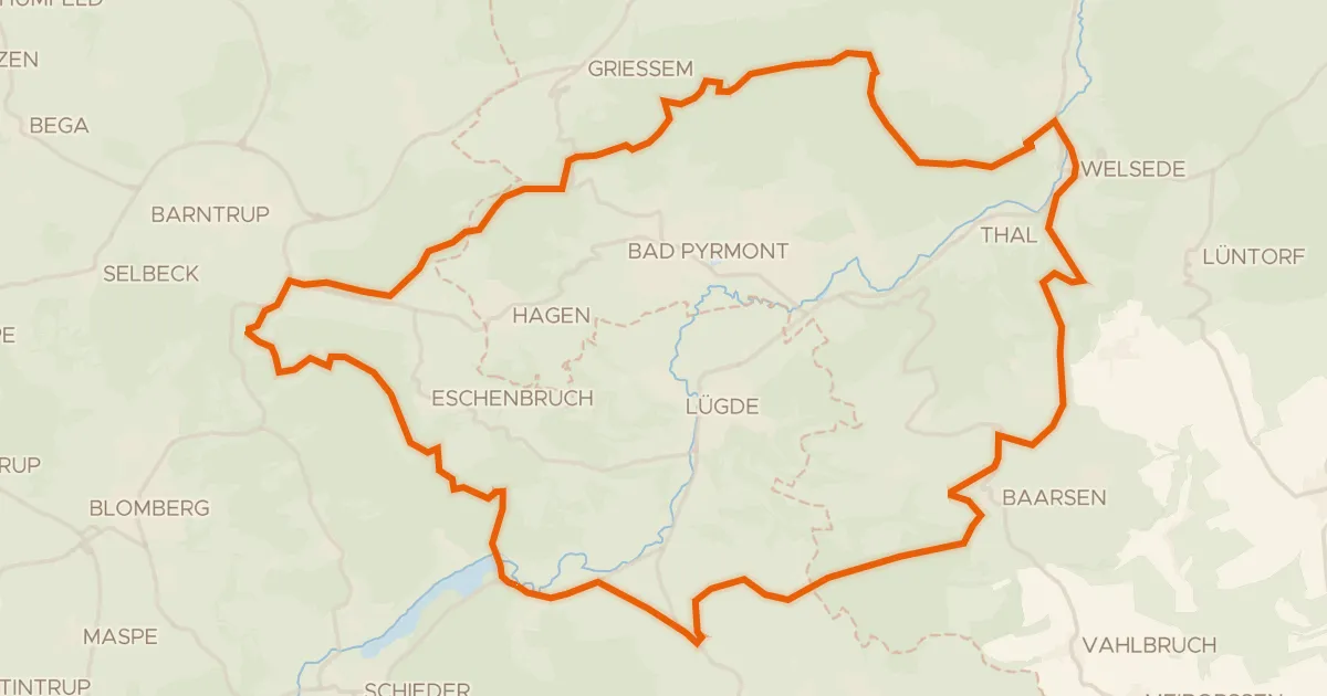
Gravel26% paved
Rondje Emmertal en Schwalenberger Wald
56 km↑ 1,092 m12 km away
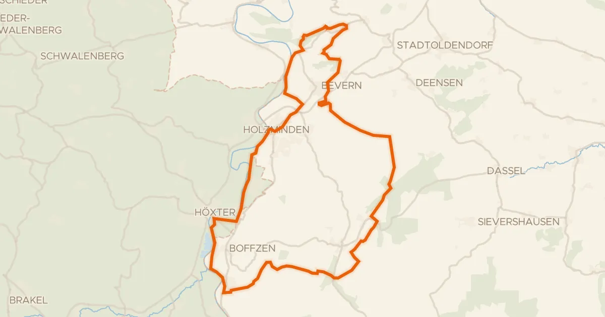
Gravel37% paved
Rondje Hochsollingturm en NSG Heinsener Klippen
75 km↑ 1,284 m13 km away
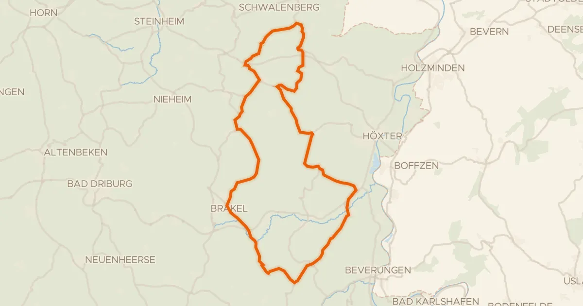
Road bike100% paved
Rondje Oldenburg en Schwalenberger Wald
71 km↑ 906 m14 km away
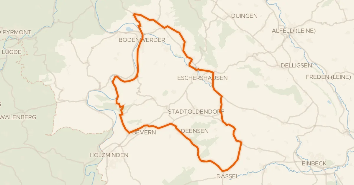
Road bike100% paved
Rondje Erichsburg en Schloß Bevern
77 km↑ 761 m18 km away
Gravel19% paved
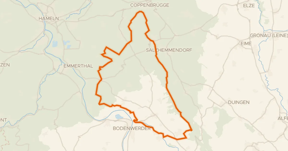
Rondje Pöttchergrund en Ith
65 km↑ 1,416 m23 km away
Gravel53% paved
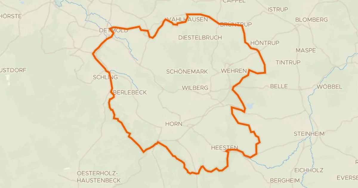
Rondje Externsteine en Fürstliches Residenzschloss Detmold
60 km↑ 949 m26 km away