Back to the librarykm 73 · Jun 2022 · © frankvival / Mapillary, CC BY-SA km 13–14km 18–19km 25–35km 36–37km 39–40km 43–45km 47–49km 58–59
GravelRouteCasterRound trip
Rondje Hochsollingturm en NSG Heinsener Klippen
Distance
75 km
Ascent
1,284 m
Highest point
535 m
37% paved
Start from your location
Ride there from home: we find the shortest way to the loop and start the loop from there.
The ride
Roll out of Holzminden and let the ride unfold: first the Graupenburg nature reserve, then the Heinsener Klippen and the Südliche Burgberghänge, one reserve after another. Climb to the Hochsollingturm viewpoint, drop past the Kathagenberg nature reserve, and turn for home. With 1284 m of climbing across 74.9 km, it's a day that keeps giving.
Along the way
Climbs
Climb 1Hill
1.1 km at 3.8% · max 9.8%
Climb 2Cat. 4
1.3 km at 11.1% · max 31.6%
Climb 3Cat. 2
10 km at 4% · max 11.9%
Climb 4Hill
1.1 km at 3.8% · max 7.5%
Climb 5Hill
1.2 km at 4.4% · max 7.3%
Climb 6Hill
1.7 km at 3.9% · max 7%
Climb 7Cat. 4
1.8 km at 7.4% · max 16.3%
Climb 8Hill
0.7 km at 5.9% · max 11.1%
Routes nearby
Road bike100% paved
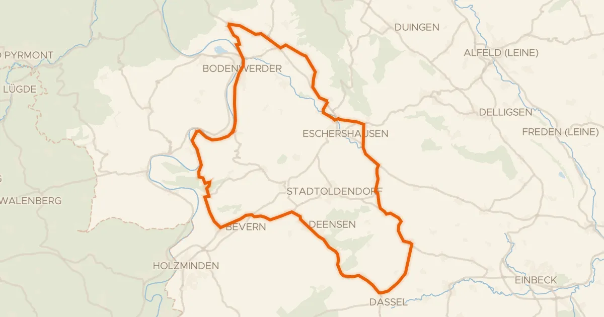
Rondje Erichsburg en Schloß Bevern
77 km↑ 761 m13 km away
Road bike100% paved
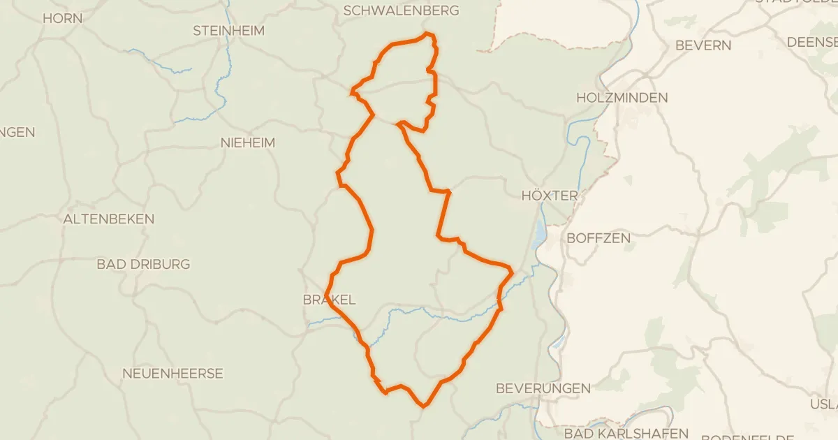
Rondje Oldenburg en Schwalenberger Wald
71 km↑ 906 m14 km away
Road bike99% paved
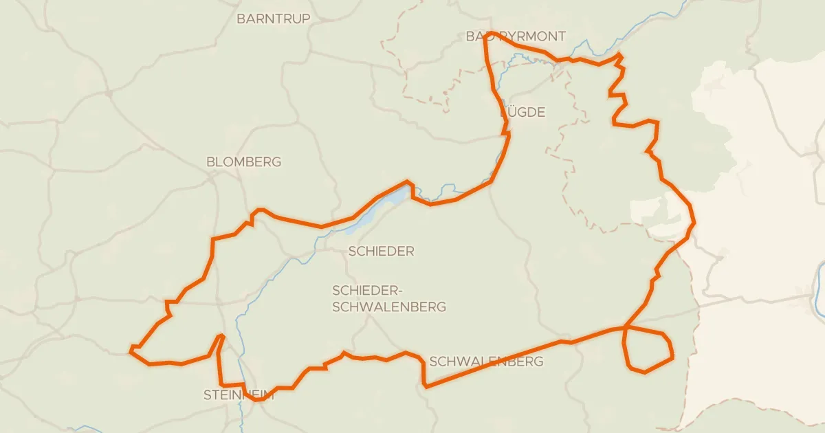
Rondje Schwalenberger Wald en Schloss Bad Pyrmont
78 km↑ 837 m21 km away
Road bike98% paved
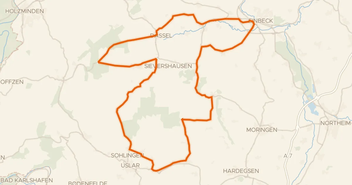
Rondje Erichsburg en Moore und Wälder im Hochsolling
85 km↑ 1,053 m21 km away
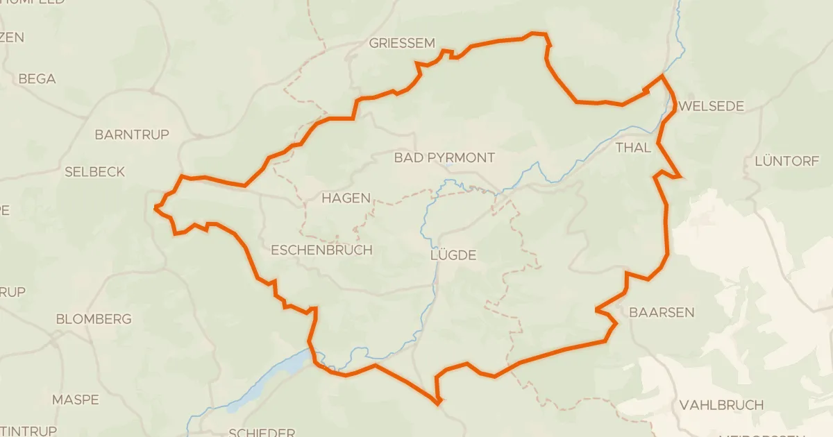
Gravel26% paved
Rondje Emmertal en Schwalenberger Wald
56 km↑ 1,092 m21 km away
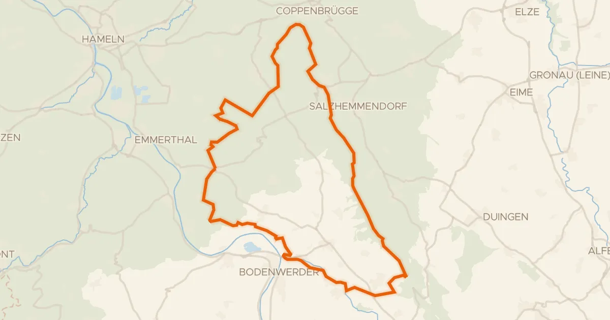
Gravel19% paved
Rondje Pöttchergrund en Ith
65 km↑ 1,416 m24 km away