Back to the librarykm 2 · Apr 2025 · © santon / Mapillary, CC BY-SA km 36 · Jul 2026 · © lin_wang / Mapillary, CC BY-SA km 55 · Dec 2023 · © my584 / Mapillary, CC BY-SA km 58 · Dec 2023 · © my584 / Mapillary, CC BY-SA km 19–20km 36–36km 53–56
Road bikeRouteCasterRound trip
Rondje Schloss Valley en Leonhardsfilz
Distance
75 km
Ascent
776 m
Highest point
825 m
100% paved
Start from your location
Ride there from home: we find the shortest way to the loop and start the loop from there.
The ride
Roll out of Gmund am Tegernsee and let the ride unfold: 75.0 km, 776 m of climbing, all on paved roads. You pass the Klosterfilz and Kreuzbichl nature reserves, then the Ebenbergfilze and Leonhardsfilz, before Schloss Valley castle appears. Then it's back to where you started.
Along the way
Climbs
Climb 1Hill
0.8 km at 4.4% · max 9.8%
Climb 2Hill
0.4 km at 9.1% · max 10%
Climb 3Cat. 4
3 km at 3.1% · max 17.6%
Routes nearby
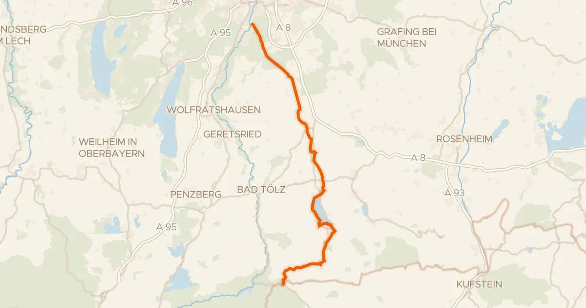
Touring70% paved
München - Venezia - Teil Deutschland 2b
81 km↑ 1,083 m10 km away
Achenpass
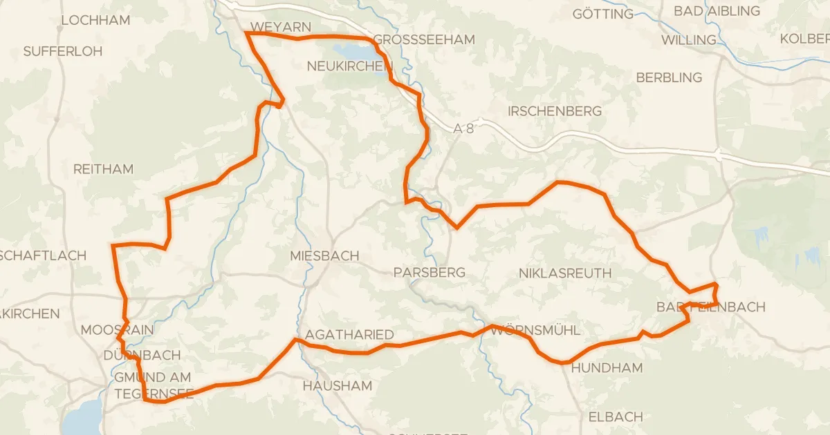
Road bike100% paved
Rondje Schlierach en Loidlsee
69 km↑ 1,037 m12 km away
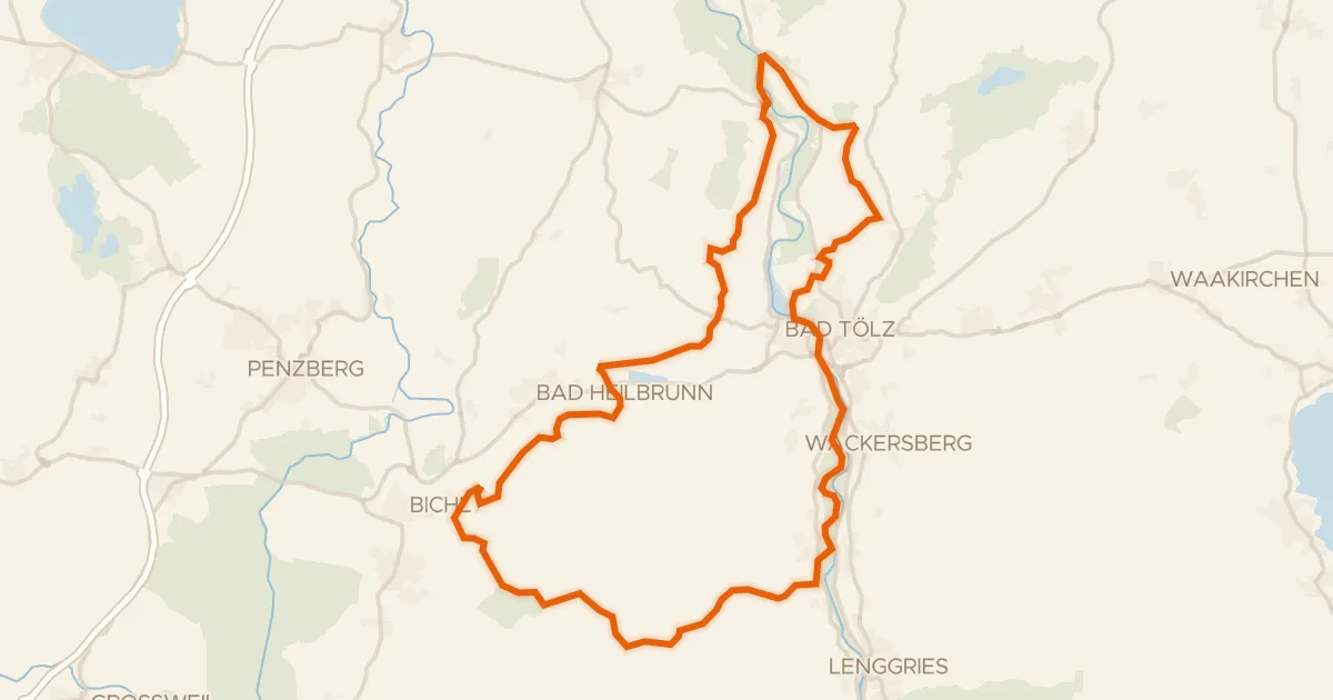
Gravel31% paved
Rondje Isarauen en Hechenberger Leite
57 km↑ 1,244 m18 km away
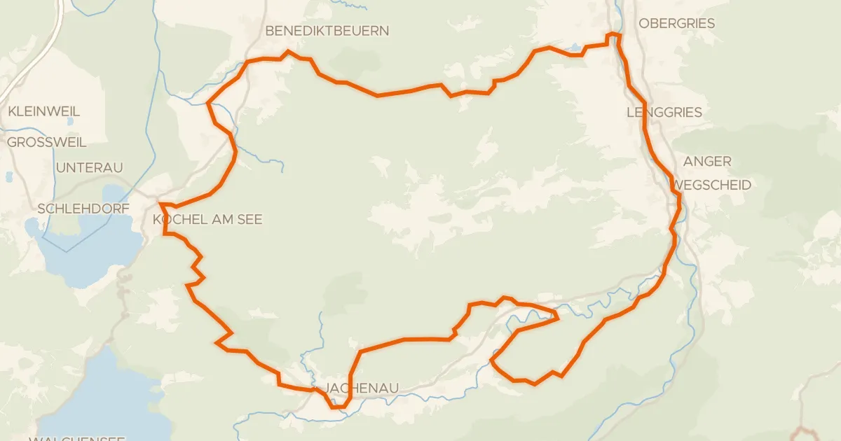
Gravel12% paved
Rondje Isarauen en Hochmoor an der Schemeralm
68 km↑ 1,929 m22 km away
Gravel19% paved
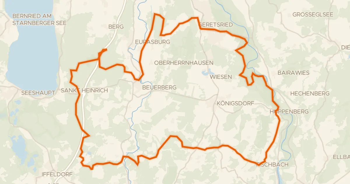
Rondje Schellenbergmoor en Isarauen
66 km↑ 699 m23 km away
Road bike98% paved
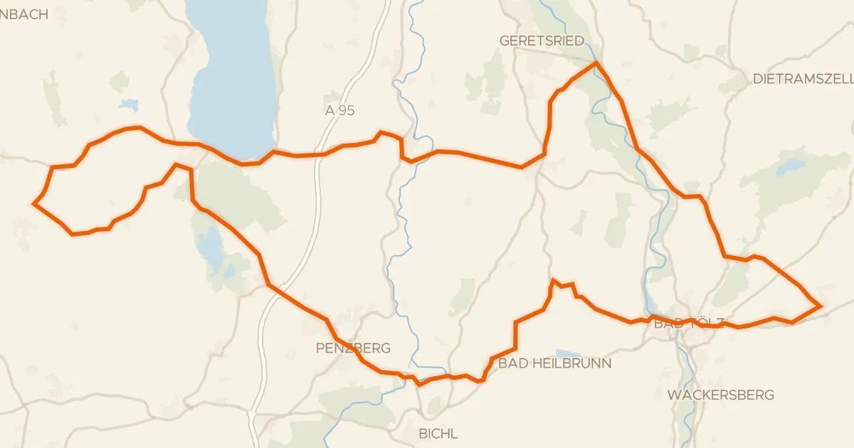
Rondje Schloss Hirschberg am Haarsee en Osterseen
93 km↑ 919 m24 km away