Back to the librarykm 7 · Oct 2025 · © soulcover / Mapillary, CC BY-SA km 42 · Dec 2023 · © my584 / Mapillary, CC BY-SA km 53 · Sep 2025 · © epibrator / Mapillary, CC BY-SA km 0–5km 10–13km 38–41km 51–52km 55–56
Road bikeRouteCasterRound trip
Rondje Schlierach en Loidlsee
Distance
69 km
Ascent
1,037 m
Highest point
847 m
100% paved
Start from your location
Ride there from home: we find the shortest way to the loop and start the loop from there.
The ride
Roll out of Bad Feilnbach and let the ride unfold past the Loidlsee lake, then along the Schlierach river. The route keeps going by the Mangfall and the Leitzach rivers before looping back to where you started. All 68.8 km is paved, with 1037 m of climbing along the way.
Along the way
Climbs
Climb 1Cat. 3
5.1 km at 5.7% · max 22.6%
Climb 2Cat. 4
3 km at 5.2% · max 16.5%
Climb 3Hill
2.3 km at 3.1% · max 10.8%
Climb 4Hill
1.2 km at 3.1% · max 8.2%
Climb 5Hill
1 km at 4.8% · max 14.7%
Routes nearby
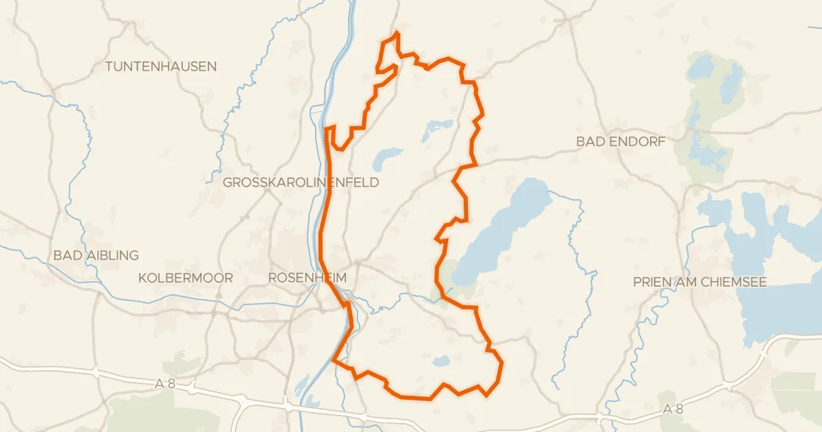
Gravel32% paved
Rondje Südufer des Simssees en Inn
59 km↑ 599 m18 km away
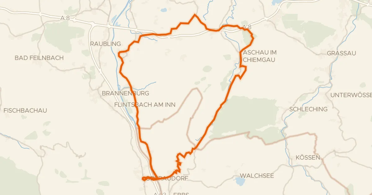
Road bike96% paved
Rondje Schloss Neubeuern en Geigelstein
72 km↑ 1,280 m18 km away
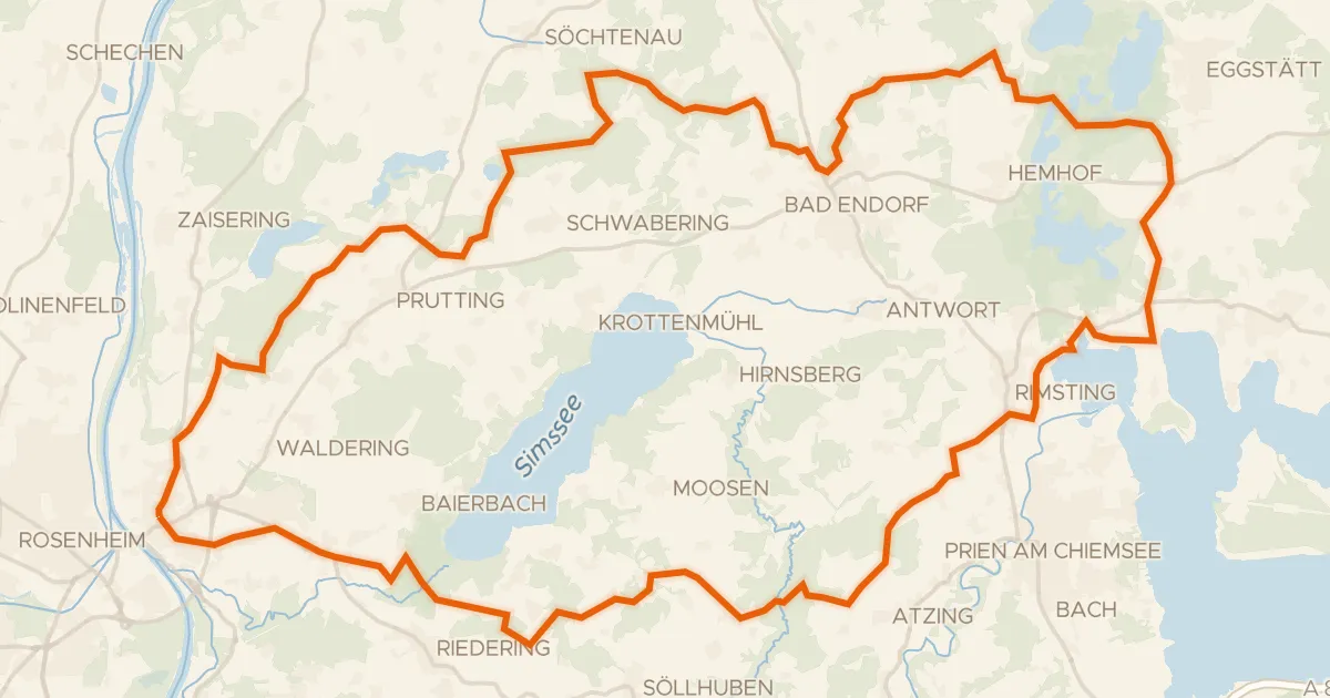
Gravel32% paved
Rondje Eggstätt-Hemhofer Seenplatte en Südufer des Simssees
62 km↑ 847 m23 km away
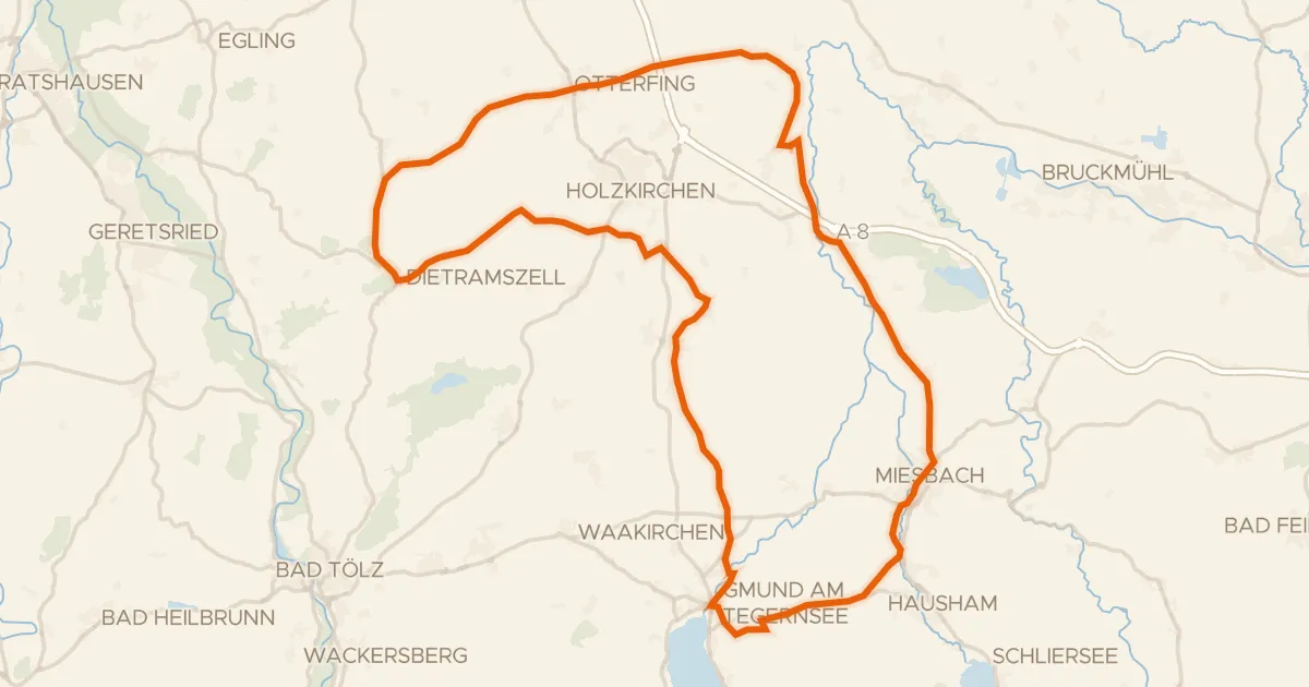
Road bike100% paved
Rondje Schloss Valley en Leonhardsfilz
75 km↑ 776 m23 km away
Touring70% paved
München - Venezia - Teil Deutschland 2b
81 km↑ 1,083 m26 km away
Achenpass
Gravel22% paved
Rondje Kupferbachtal bei Unterlaus en Kirchseeoner Moos
64 km↑ 792 m28 km away