Back to the librarykm 6–8km 9–10km 11–13km 17–18km 21–21km 33–34km 38–39km 42–44km 51–52km 54–55
GravelRouteCasterRound trip
Rondje Eggstätt-Hemhofer Seenplatte en Südufer des Simssees
Distance
62 km
Ascent
847 m
Highest point
605 m
32% paved
Start from your location
Ride there from home: we find the shortest way to the loop and start the loop from there.
The ride
Roll out of Schloßberg and along the south shore of the Simssee, a nature reserve, before the route follows the river through Prien. Next up is the Eggstätt-Hemhofer Seenplatte, another nature reserve, and the lake Schloßsee. With 847 m of climbing and most of the 62.4 km unpaved, it's a ride that keeps you working. Back to Schloßberg where you started.
Climbs
Climb 1Hill
1.6 km at 4% · max 10.3%
Climb 2Hill
0.9 km at 4.2% · max 10.8%
Climb 3Hill
1.3 km at 3.3% · max 9%
Climb 4Hill
0.9 km at 3.1% · max 9.7%
Climb 5Hill
0.7 km at 3.6% · max 14.9%
Climb 6Hill
0.5 km at 6% · max 15.2%
Climb 7Hill
1 km at 3.4% · max 8.9%
Climb 8Hill
1.5 km at 3.5% · max 8.6%
Climb 9Hill
0.8 km at 5% · max 11.8%
Climb 10Hill
1 km at 3.7% · max 10.9%
Routes nearby
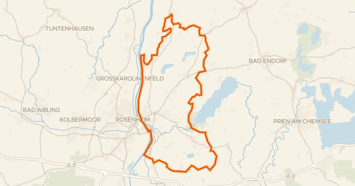
Gravel32% paved
Rondje Südufer des Simssees en Inn
59 km↑ 599 m4 km away
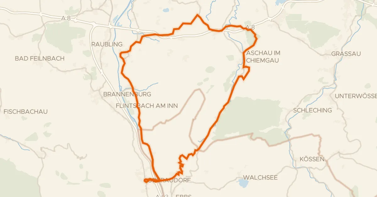
Road bike96% paved
Rondje Schloss Neubeuern en Geigelstein
72 km↑ 1,280 m16 km away
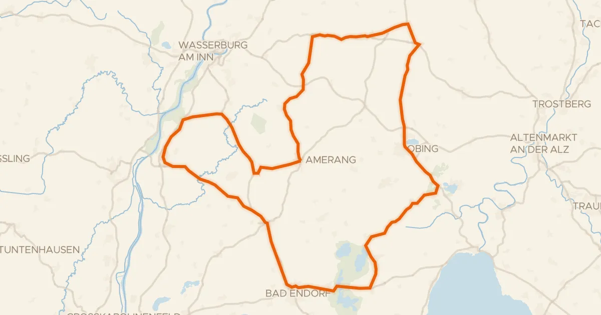
Road bike100% paved
Rondje Schlossruine Kling en Seeoner Seen
79 km↑ 788 m19 km away
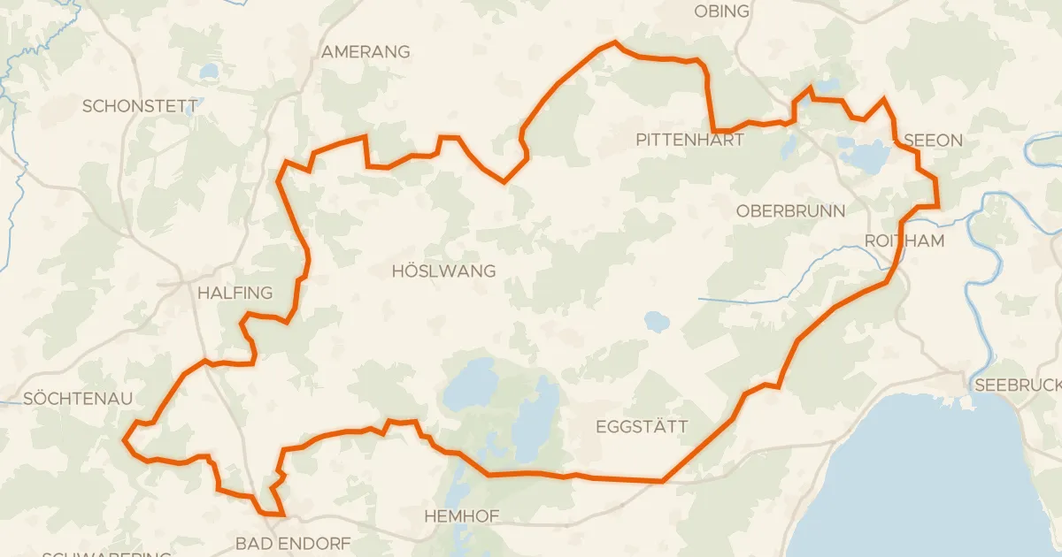
Gravel13% paved
Rondje Seeoner Seen en Hartsee
60 km↑ 815 m19 km away
Road bike100% paved
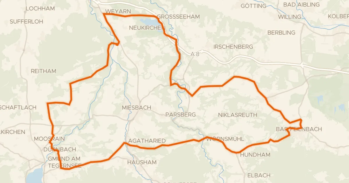
Rondje Schlierach en Loidlsee
69 km↑ 1,037 m21 km away
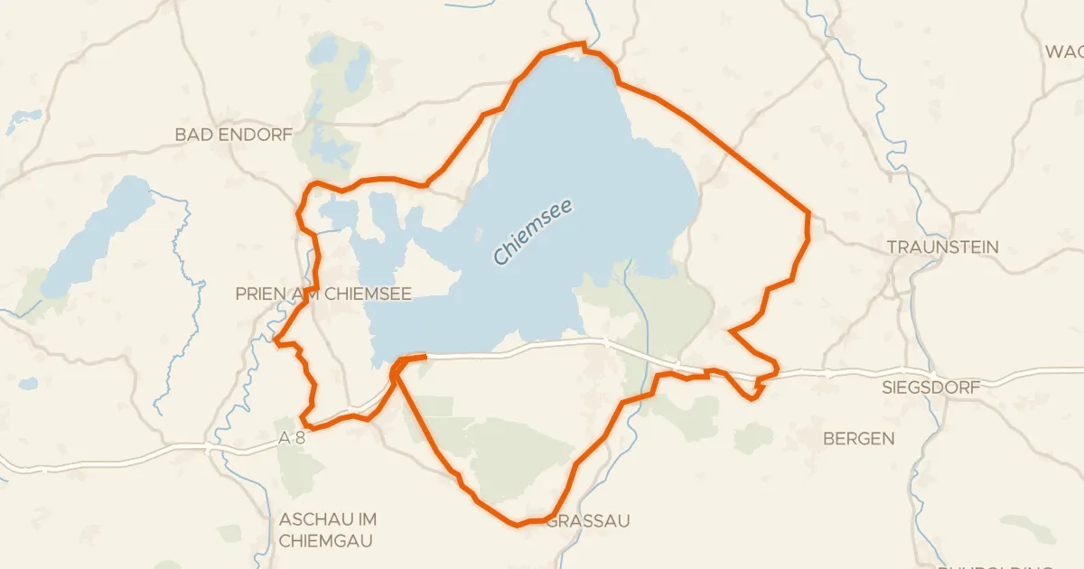
Road bike99% paved
Rondje Eggstätt-Hemhofer Seenplatte en Kendlmühlfilzen
77 km↑ 639 m23 km away