Back to the librarykm 15 · Dec 2024 · © soulcover / Mapillary, CC BY-SA km 28 · Aug 2025 · © peterpohl / Mapillary, CC BY-SA km 54 · Jan 2026 · © dsmm / Mapillary, CC BY-SA km 61 · Dec 2024 · © soulcover / Mapillary, CC BY-SA km 5–5km 20–21km 45–47km 60–61km 66–67
Road bikeRouteCasterRound trip
Rondje Schlossruine Kling en Seeoner Seen
Distance
79 km
Ascent
788 m
Highest point
624 m
100% paved
Start from your location
Ride there from home: we find the shortest way to the loop and start the loop from there.
The ride
Roll out of Amerang and the road stays paved the whole way, climbing 788 m across 78.9 km. First up is the castle ruin of Kling, then the Seeoner Seen nature reserve and the Eggstätt-Hemhofer lake district. Later you pass Schloss Hartmannsberg, follow the Murn, and ride the Innstausee bird reserve before looping back to Amerang.
Along the way
Climbs
Climb 1Hill
0.4 km at 10.1% · max 21.1%
Climb 2Hill
0.9 km at 4.1% · max 9.9%
Climb 3Hill
2.3 km at 3.2% · max 9.4%
Climb 4Hill
0.9 km at 5.6% · max 15.9%
Climb 5Hill
1.3 km at 3.2% · max 10.7%
Routes nearby
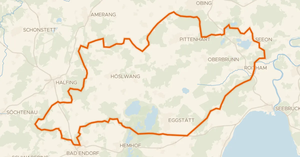
Gravel13% paved
Rondje Seeoner Seen en Hartsee
60 km↑ 815 m6 km away
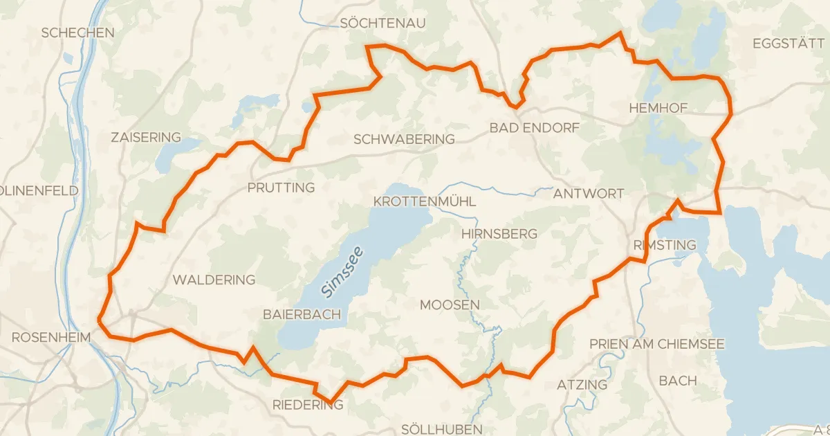
Gravel32% paved
Rondje Eggstätt-Hemhofer Seenplatte en Südufer des Simssees
62 km↑ 847 m12 km away
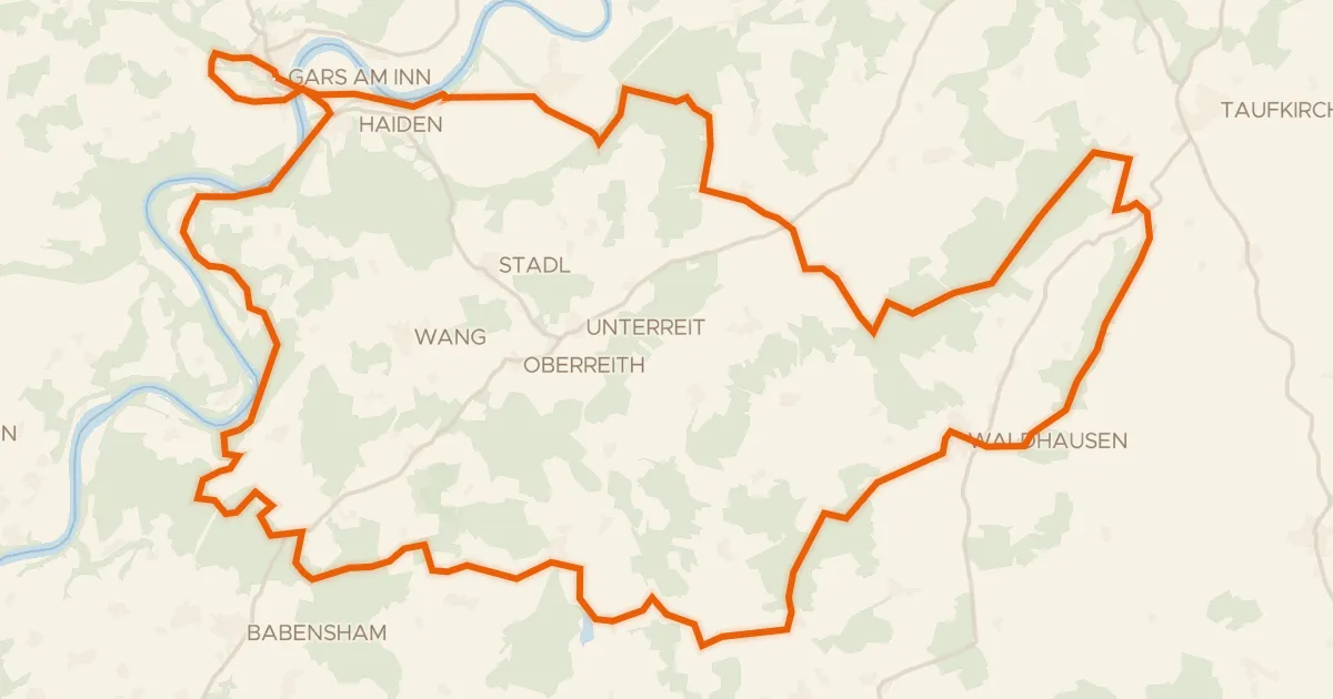
Gravel31% paved
Rondje Eichenau en de Inn
56 km↑ 995 m14 km away
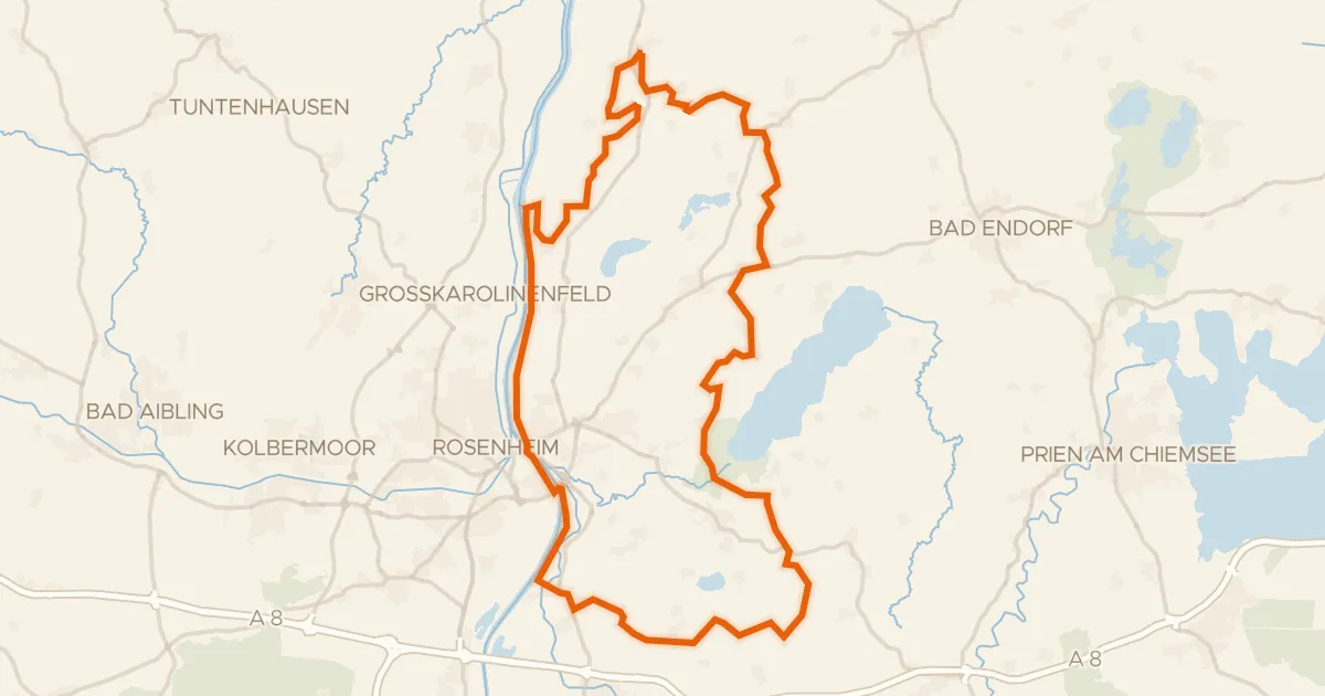
Gravel32% paved
Rondje Südufer des Simssees en Inn
59 km↑ 599 m15 km away
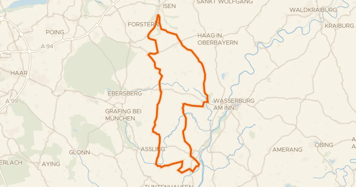
Road bike97% paved
Rondje Schloss Burgrain en Hochmoor am Kesselsee
84 km↑ 868 m18 km away
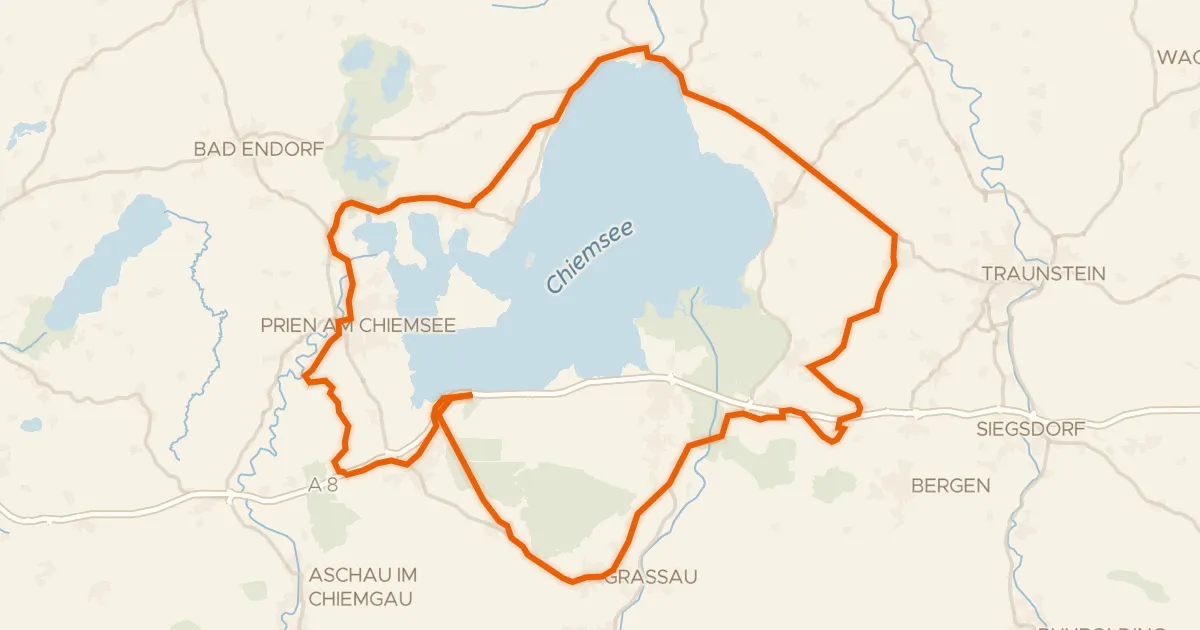
Road bike99% paved
Rondje Eggstätt-Hemhofer Seenplatte en Kendlmühlfilzen
77 km↑ 639 m19 km away