Back to the librarykm 5–6km 24–25km 30–31km 41–42km 42–43km 43–44km 46–47km 48–48km 53–55
GravelRouteCasterRound trip
Rondje Eichenau en de Inn
Distance
56 km
Ascent
995 m
Highest point
650 m
31% paved
Start from your location
Ride there from home: we find the shortest way to the loop and start the loop from there.
The ride
Roll out of Gars am Inn and follow the Inn river before the route turns toward the Eichenau forest. Of the 56.5 km, most runs unpaved, and 995 m of climbing keeps the legs honest. You start and finish in the same village, so the loop closes where it opened.
Climbs
Climb 1Hill
1.4 km at 5% · max 29.4%
Climb 2Hill
0.6 km at 5.5% · max 12.2%
Climb 3Hill
1.2 km at 3.6% · max 6.6%
Climb 4Hill
0.8 km at 3.7% · max 11.9%
Climb 5Hill
0.5 km at 6.5% · max 13.8%
Climb 6Hill
0.3 km at 9.3% · max 17.2%
Climb 7Cat. 4
0.7 km at 14.3% · max 44.2%
Climb 8Hill
0.5 km at 7% · max 12.7%
Climb 9Hill
1.9 km at 3.8% · max 12.9%
Routes nearby
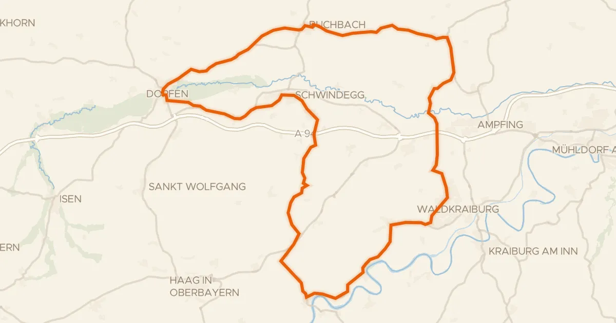
Road bike100% paved
Rondje Schloss Schwindegg en Isen
76 km↑ 859 m9 km away
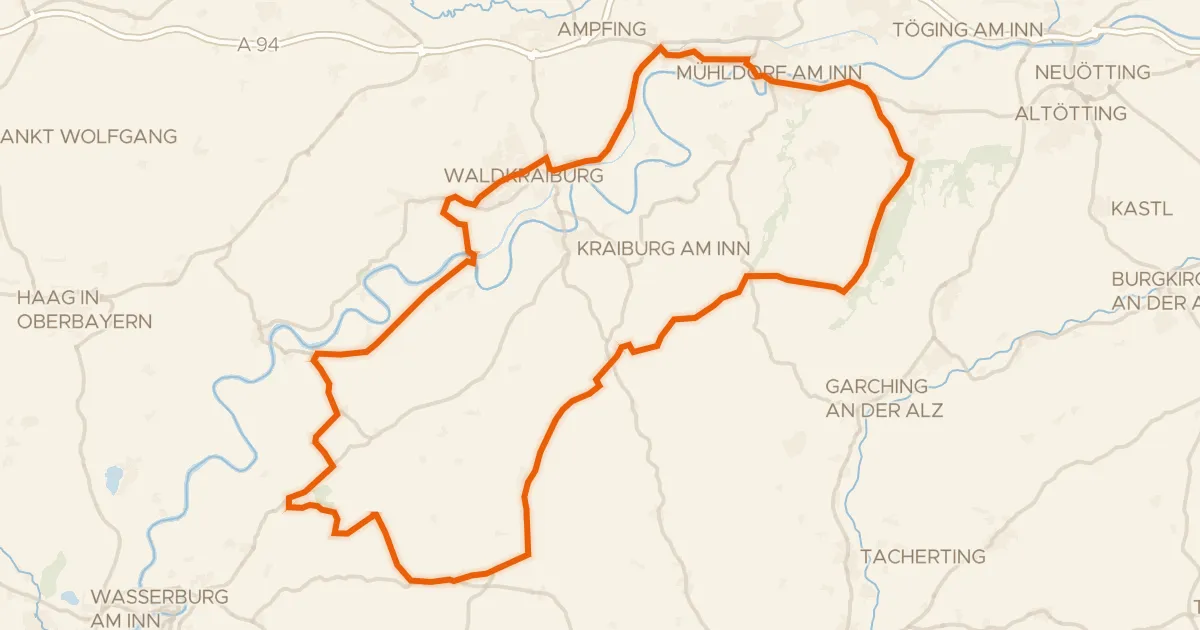
Road bike98% paved
Rondje Schloß Tüßling en Inn
81 km↑ 617 m13 km away
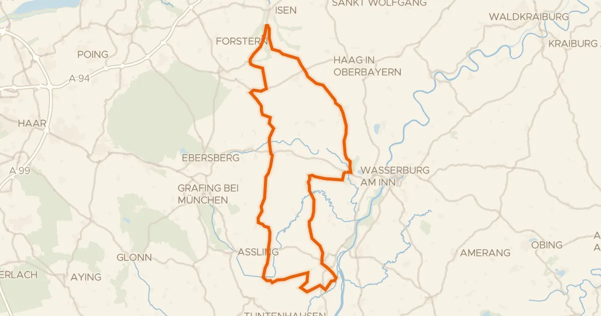
Road bike97% paved
Rondje Schloss Burgrain en Hochmoor am Kesselsee
84 km↑ 868 m16 km away
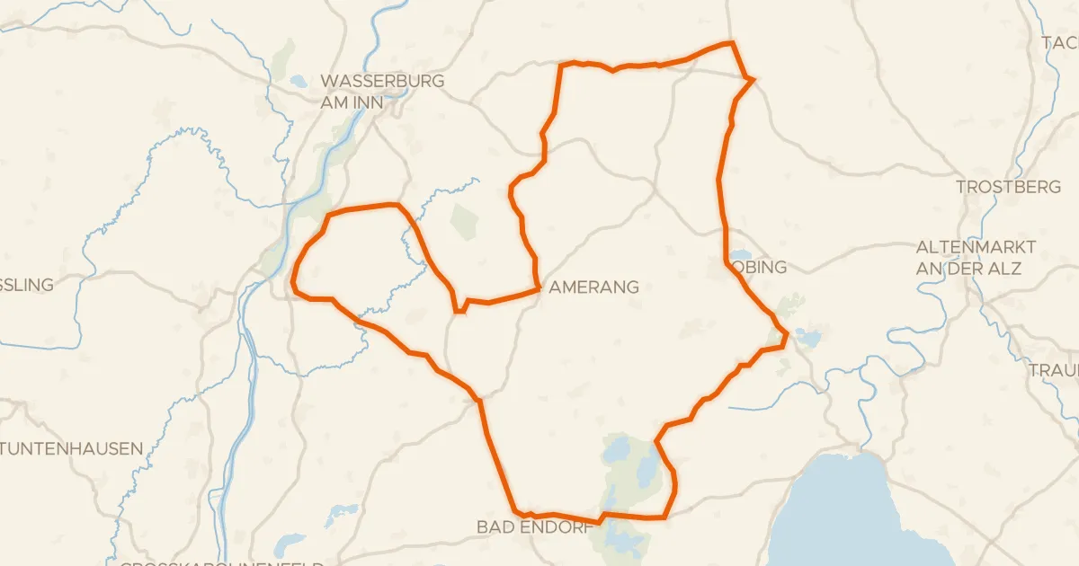
Road bike100% paved
Rondje Schlossruine Kling en Seeoner Seen
79 km↑ 788 m18 km away
Gravel21% paved
Rondje Isen en Rott
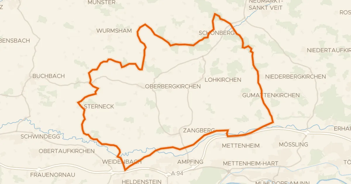
57 km↑ 703 m20 km away
Road bike100% paved
Rondje Grünbach und Bucher Moor en Alz
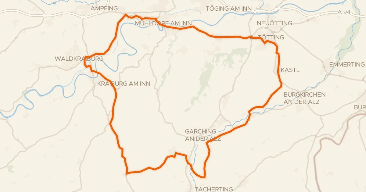
74 km↑ 593 m21 km away