Back to the librarykm 1–2km 3–4km 6–7km 10–11km 17–18km 20–21km 26–27km 30–31
GravelRouteCasterRound trip
Rondje Isen en Rott
Distance
57 km
Ascent
703 m
Highest point
510 m
21% paved
Start from your location
Ride there from home: we find the shortest way to the loop and start the loop from there.
The ride
Roll out of Sterneck and let the ride unfold: 57.5 km with 703 m of climbing, mostly unpaved. You follow the Rott, then the Feldlohkanal, then the Isen, before turning back to Sterneck. A day that keeps you honest on the gravel and brings you home full of stories.
Climbs
Climb 1Hill
0.9 km at 3.4% · max 12%
Climb 2Hill
0.8 km at 4.7% · max 10.3%
Climb 3Hill
1 km at 3.6% · max 12.3%
Climb 4Hill
1.2 km at 3.1% · max 8.4%
Climb 5Hill
0.5 km at 7.3% · max 12.8%
Climb 6Hill
0.6 km at 6.5% · max 14.6%
Climb 7Hill
1.2 km at 5.2% · max 14.3%
Climb 8Hill
1 km at 4% · max 13.5%
Routes nearby
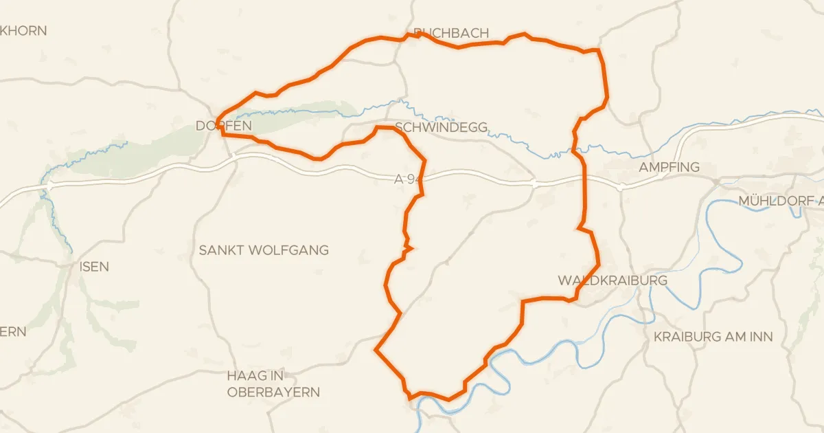
Road bike100% paved
Rondje Schloss Schwindegg en Isen
76 km↑ 859 m7 km away
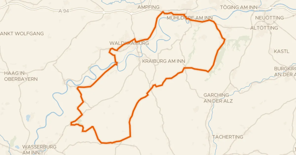
Road bike98% paved
Rondje Schloß Tüßling en Inn
81 km↑ 617 m17 km away
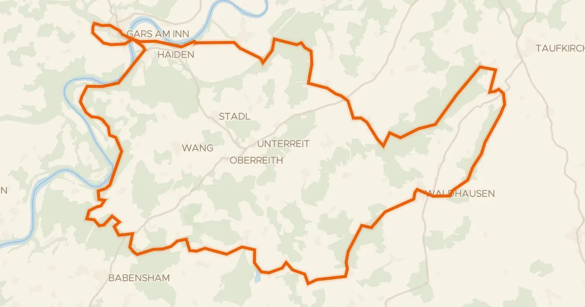
Gravel31% paved
Rondje Eichenau en de Inn
56 km↑ 995 m20 km away
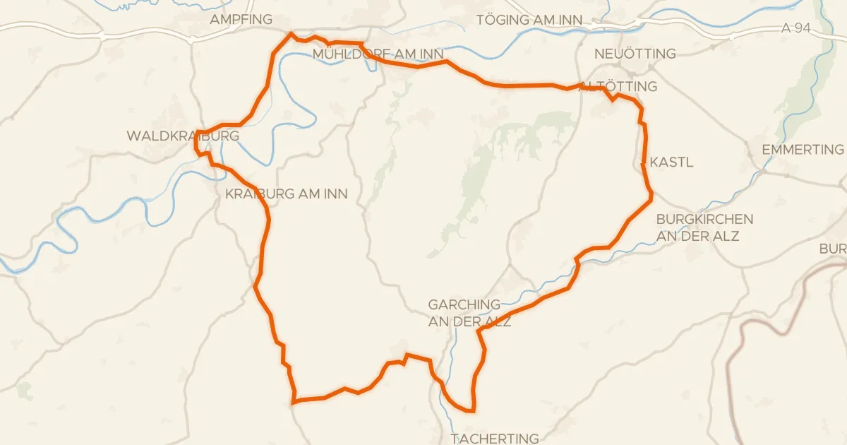
Road bike100% paved
Rondje Grünbach und Bucher Moor en Alz
74 km↑ 593 m22 km away
Road bike99% paved
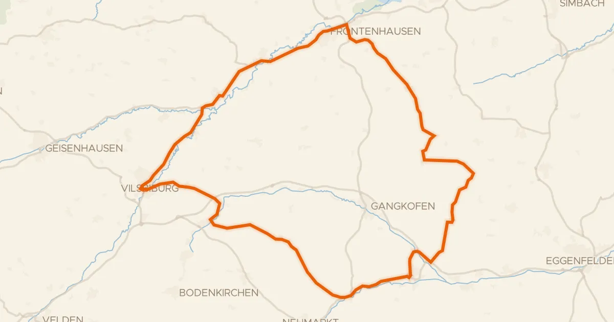
Rondje Schloss Gerzen en Vils
73 km↑ 619 m24 km away
Road bike100% paved
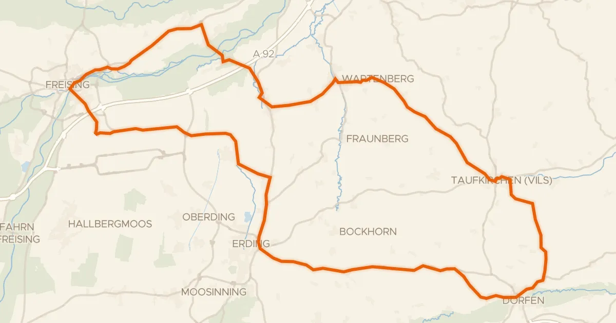
Rondje Wasserschloss en Mühle Attaching
93 km↑ 580 m28 km away