Back to the librarykm 5 · Apr 2026 · © Tomson124 / Mapillary, CC BY-SA km 30 · Oct 2024 · © natebus / Mapillary, CC BY-SA km 42 · Oct 2024 · © natebus / Mapillary, CC BY-SA
Road bikeRouteCasterRound trip
Rondje Grünbach und Bucher Moor en Alz
Distance
74 km
Ascent
593 m
Highest point
524 m
100% paved
Start from your location
Ride there from home: we find the shortest way to the loop and start the loop from there.
The ride
Roll out of Kastl and follow the Alz, then the Alzkanal, as the route unfolds across 74.4 km of paved surface. Next comes the Grünbach und Bucher Moor nature reserve, before the Inn joins the story. With 593 m of climbing along the way, the road turns back toward Kastl to close the loop.
Along the way
Routes nearby
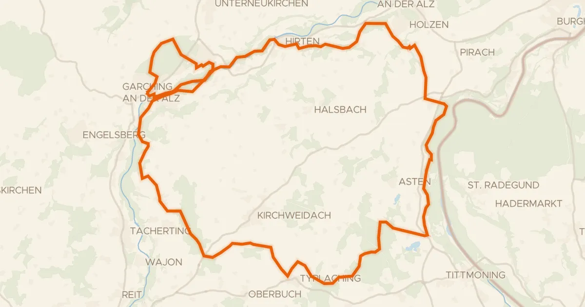
Gravel22% paved
Rondje Alz en Alzkanal
63 km↑ 668 m10 km away
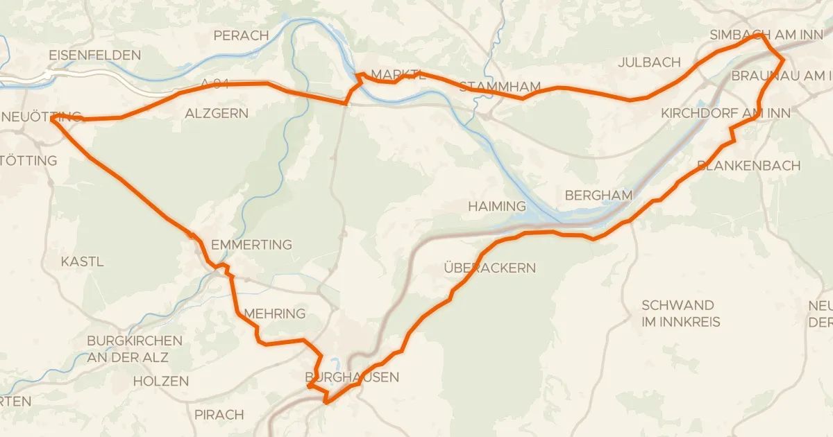
Road bike100% paved
Rondje Burg zu Burghausen en Salzach
69 km↑ 425 m13 km away
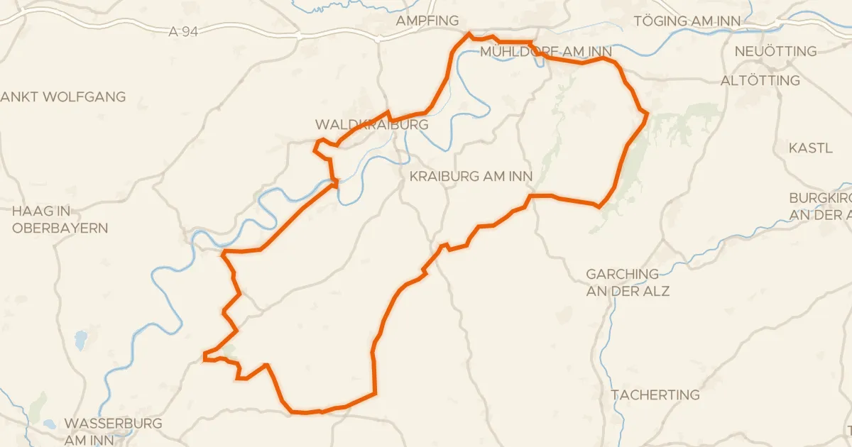
Road bike98% paved
Rondje Schloß Tüßling en Inn
81 km↑ 617 m19 km away
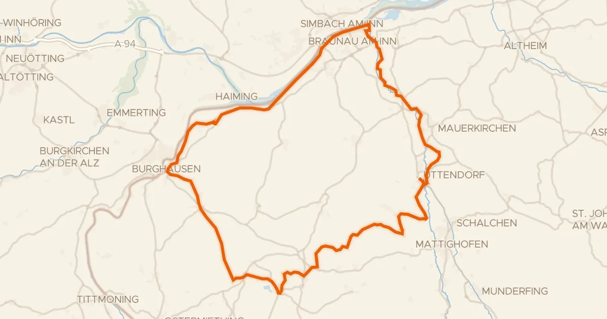
Touring80% paved
R200, 3 Städte Tour
87 km↑ 885 m22 km away
Gravel24% paved
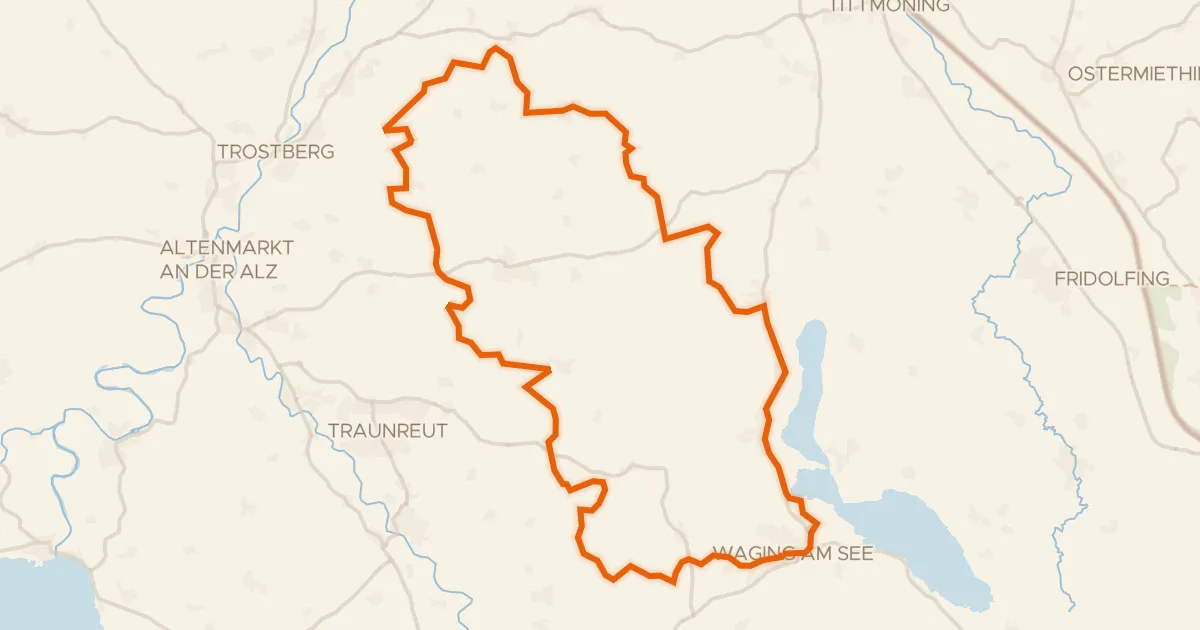
Rondje Schloss Gessenberg en Waginger See
58 km↑ 848 m23 km away
Gravel21% paved
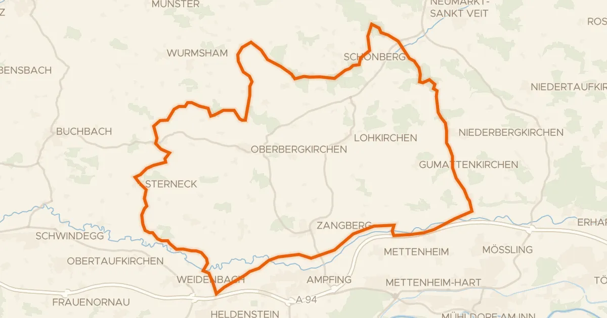
Rondje Isen en Rott
57 km↑ 703 m24 km away