Back to the librarykm 10–11km 20–21km 24–25km 26–27km 30–30km 32–33km 35–37
GravelRouteCasterRound trip
Rondje Alz en Alzkanal
Distance
63 km
Ascent
668 m
Highest point
544 m
22% paved
Start from your location
Ride there from home: we find the shortest way to the loop and start the loop from there.
The ride
Roll out of Garching an der Alz and let the route carry you along the Alzkanal, then beside the Alz river itself. Of the 62.7 km, most runs unpaved, so expect a mixed day under your wheels. With 668 m of climbing spread across the loop, the legs will know they've been out. The Alz stays with you before the road turns back toward Garching an der Alz.
Climbs
Climb 1Hill
0.9 km at 6.8% · max 24.1%
Climb 2Hill
0.9 km at 5.7% · max 21.1%
Climb 3Hill
0.8 km at 3.4% · max 9%
Climb 4Hill
1.1 km at 3.4% · max 22.2%
Climb 5Hill
0.8 km at 3.3% · max 14.5%
Climb 6Hill
1 km at 3.4% · max 13.4%
Climb 7Hill
1.1 km at 4.1% · max 9.8%
Routes nearby
Road bike100% paved
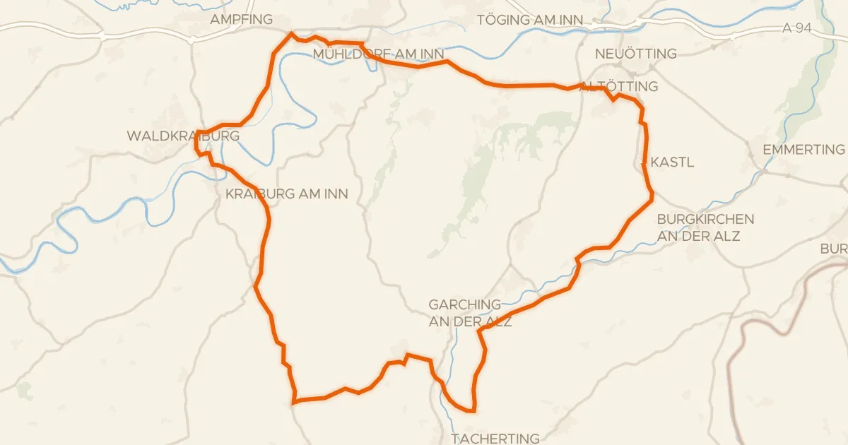
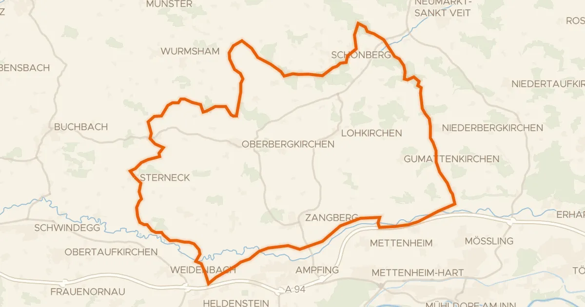
Rondje Grünbach und Bucher Moor en Alz
74 km↑ 593 m5 km away
Road bike98% paved
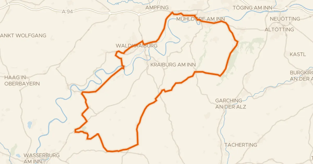
Rondje Schloß Tüßling en Inn
81 km↑ 617 m11 km away
Gravel24% paved
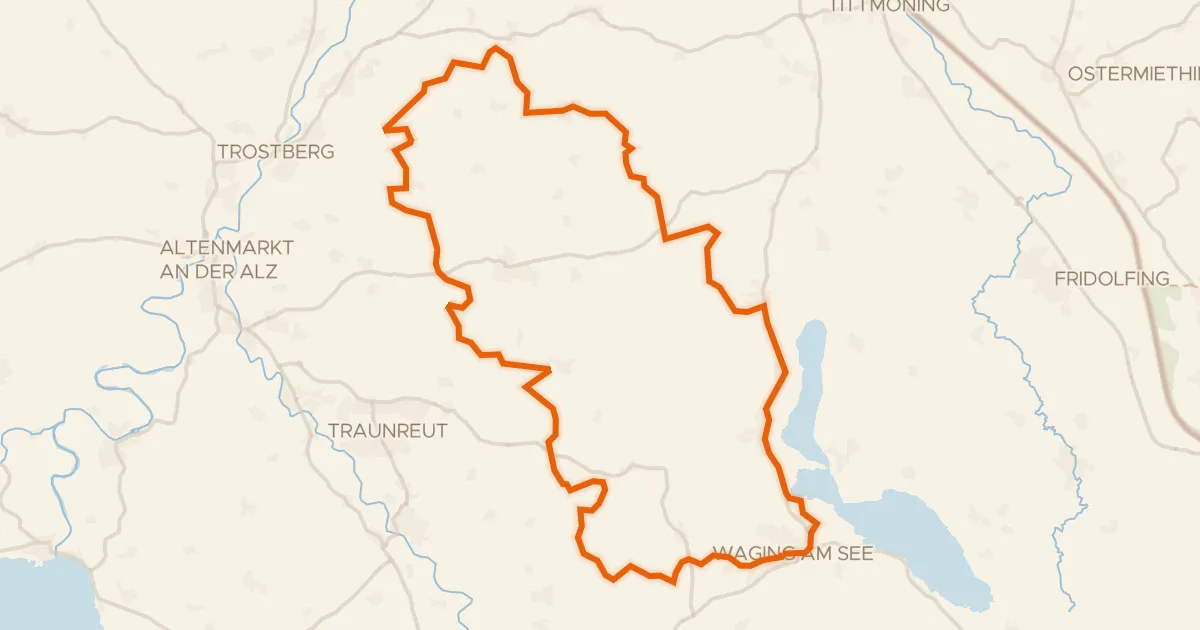
Rondje Schloss Gessenberg en Waginger See
58 km↑ 848 m17 km away
Gravel31% paved
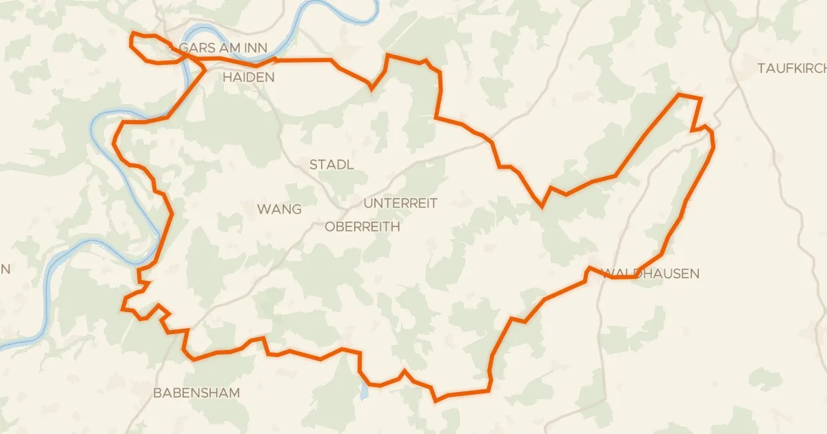
Rondje Eichenau en de Inn
56 km↑ 995 m17 km away
Gravel21% paved
Rondje Isen en Rott
57 km↑ 703 m22 km away
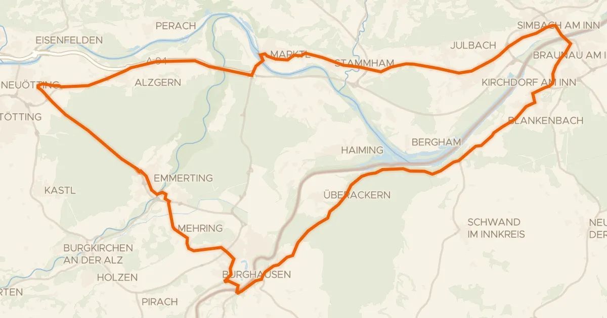
Road bike100% paved
Rondje Burg zu Burghausen en Salzach
69 km↑ 425 m23 km away