Back to the librarykm 1–3km 7–9km 10–10km 12–12km 15–16km 36–41km 50–54km 56–61
GravelRouteCasterRound trip
Rondje Isarauen en Hochmoor an der Schemeralm
Distance
68 km
Ascent
1,929 m
Highest point
1,180 m
12% paved
Start from your location
Ride there from home: we find the shortest way to the loop and start the loop from there.
The ride
Roll out of Jachenau and the climbing begins, with most of the 67.7 km running unpaved. You follow the Jachen river, then cross the Hochmoor an der Schemeralm nature reserve before the Isarauen nature reserve. After the Lainbach river, the route turns back toward Jachenau. 1929 m of elevation gain in all.
Climbs
Climb 1Cat. 4
1.9 km at 5.7% · max 16.9%
Climb 2Cat. 3
1.6 km at 11.7% · max 22.6%
Climb 3Hill
0.2 km at 14.2% · max 20.7%
Climb 4Hill
0.5 km at 7.1% · max 14.4%
Climb 5Cat. 3
1.4 km at 12.1% · max 23.9%
Climb 6Cat. 2
5.1 km at 6.7% · max 27.8%
Climb 7Cat. 3
4 km at 4.4% · max 19.4%
Climb 8Cat. 2
5.1 km at 11% · max 48%
Routes nearby
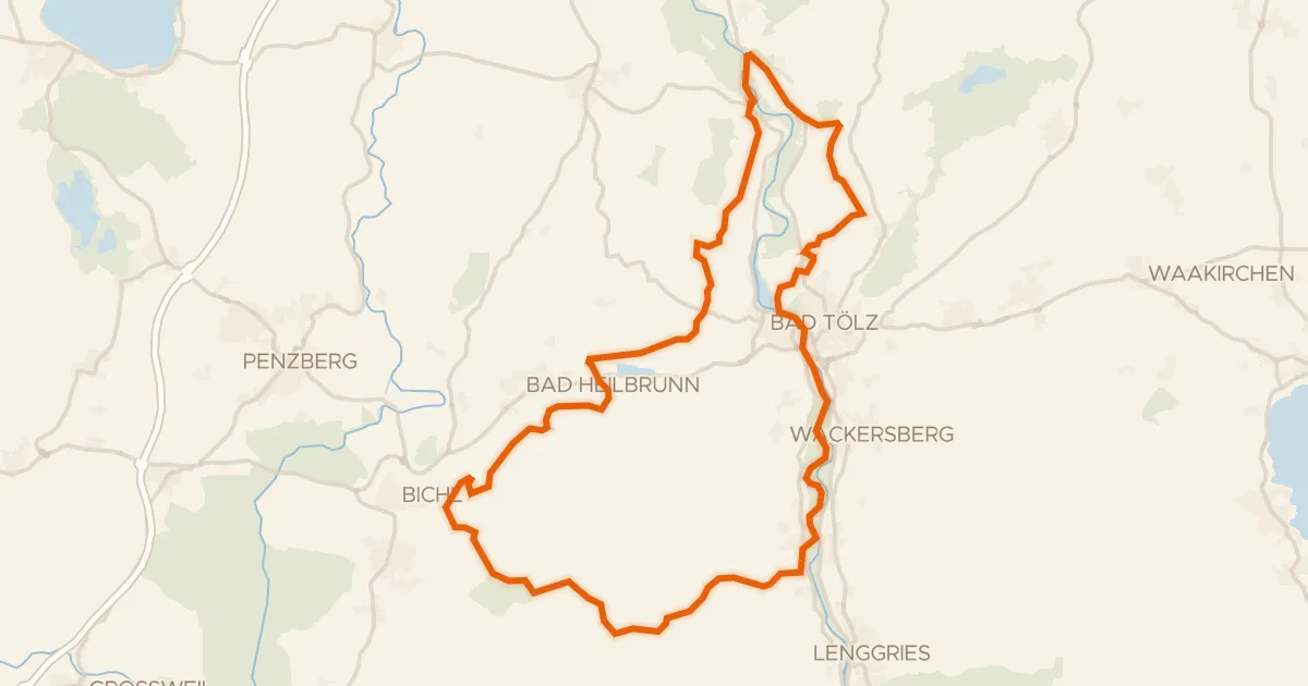
Gravel31% paved
Rondje Isarauen en Hechenberger Leite
57 km↑ 1,244 m18 km away
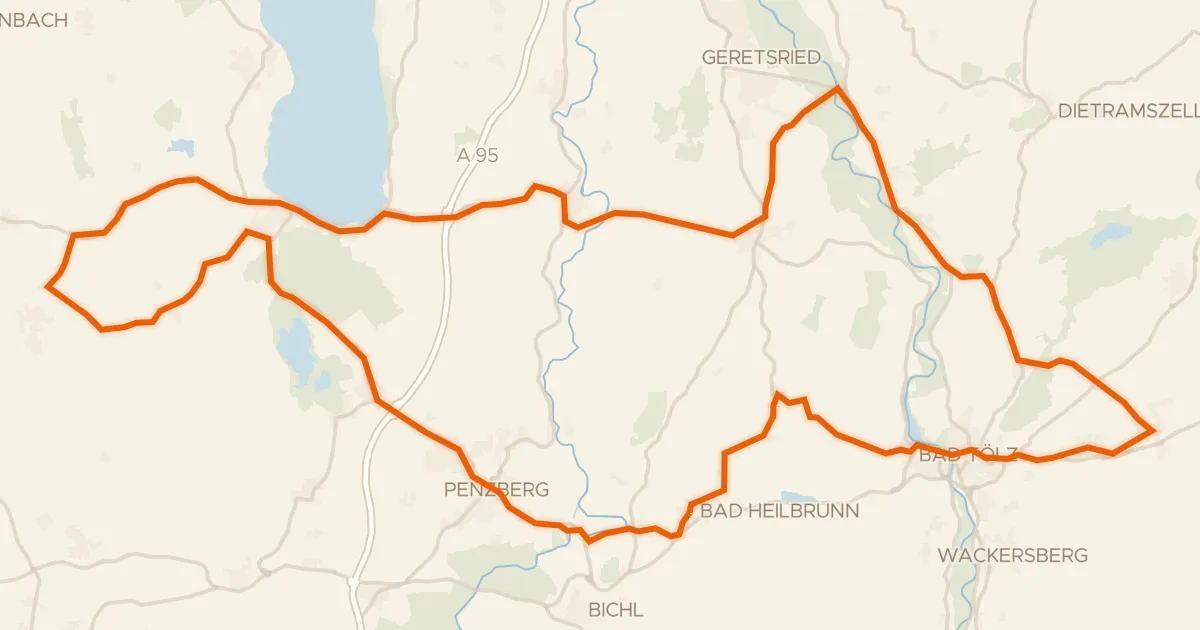
Road bike98% paved
Rondje Schloss Hirschberg am Haarsee en Osterseen
93 km↑ 919 m21 km away
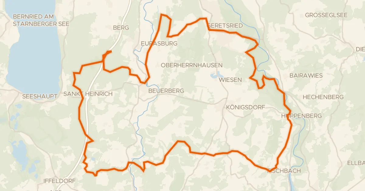
Gravel19% paved
Rondje Schellenbergmoor en Isarauen
66 km↑ 699 m24 km away
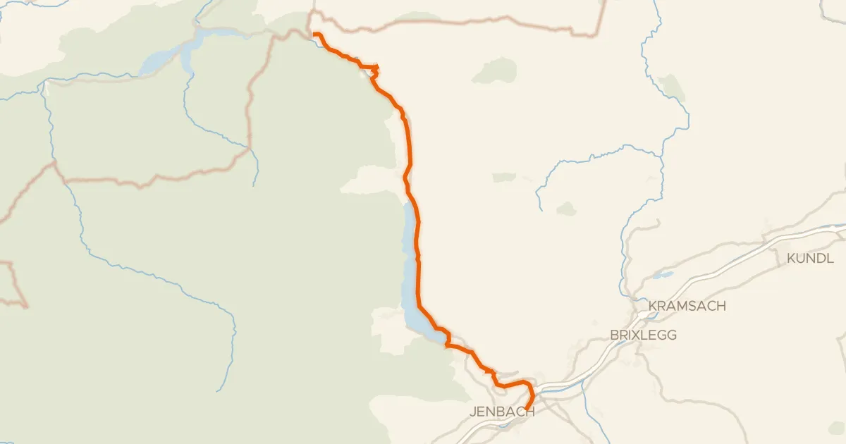
Touring83% paved
Via Bavarica Tyrolensis (Süd)
32 km↑ 495 m25 km away
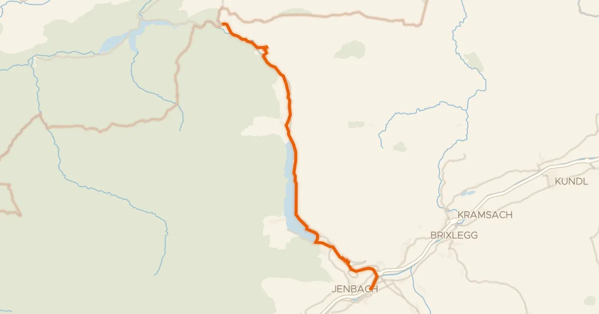
Touring83% paved
Achenseeradweg
33 km↑ 825 m25 km away
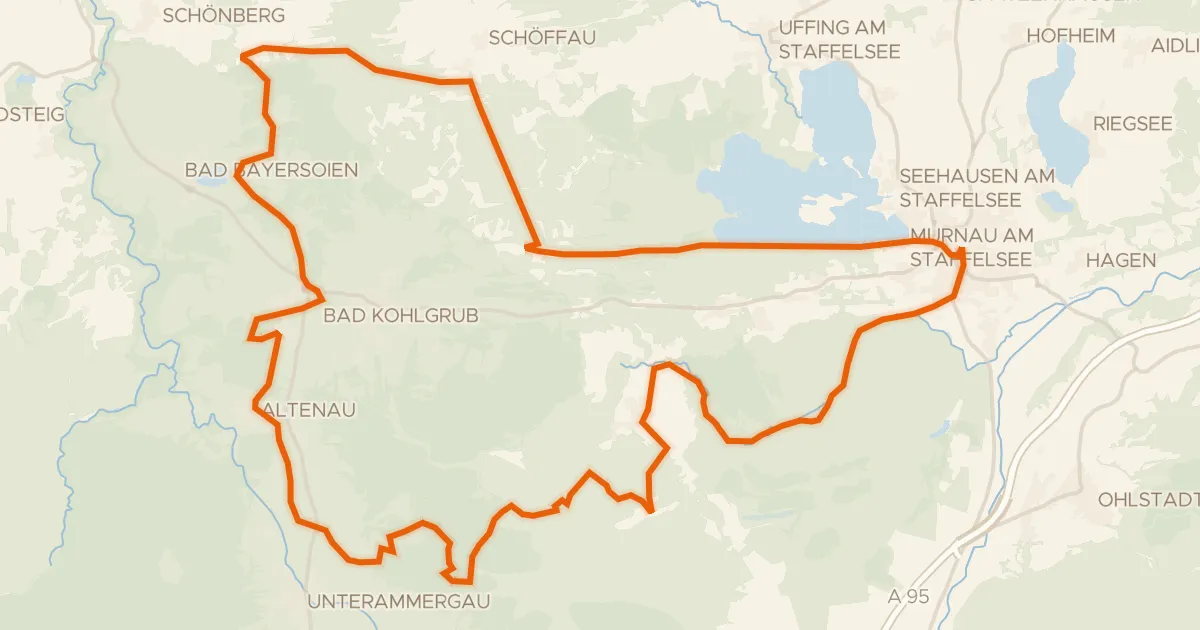
Gravel29% paved
Rondje Seeleiten en Murnauer Moos
59 km↑ 1,108 m25 km away