Back to the librarykm 12–19km 46–47km 49–50
GravelRouteCasterRound trip
Rondje Seeleiten en Murnauer Moos
Distance
59 km
Ascent
1,108 m
Highest point
1,296 m
29% paved
Start from your location
Ride there from home: we find the shortest way to the loop and start the loop from there.
The ride
Roll out of Murnau am Staffelsee and the Murnauer Moos nature reserve opens the ride, with the Kochel-Filz and Altenauer Moor reserves following before the Westlicher Staffelsee and its moors. Past Seeleiten castle, the loop turns for home. Of the 59.1 km, most runs unpaved, and 1108 m of climbing keeps it lively.
Climbs
Climb 1Cat. 1
6.8 km at 9.6% · max 37.1%
Climb 2Hill
0.6 km at 5.5% · max 12.4%
Climb 3Hill
0.5 km at 8.8% · max 12.3%
Routes nearby
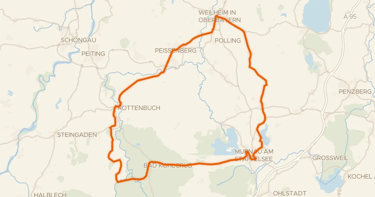
Road bike100% paved
Rondje Schloß Neuegling en Wildseefilz
82 km↑ 928 m11 km away
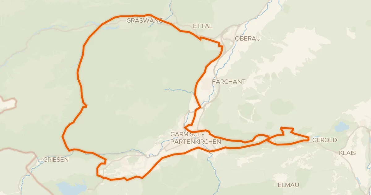
Gravel36% paved
Rondje Ettaler Weidmoos en Buckelwiesen am Plattele
72 km↑ 1,899 m20 km away
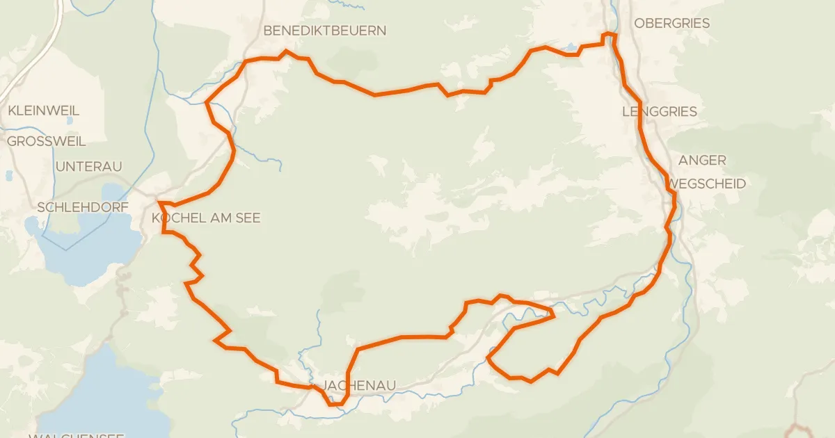
Gravel12% paved
Rondje Isarauen en Hochmoor an der Schemeralm
68 km↑ 1,929 m21 km away
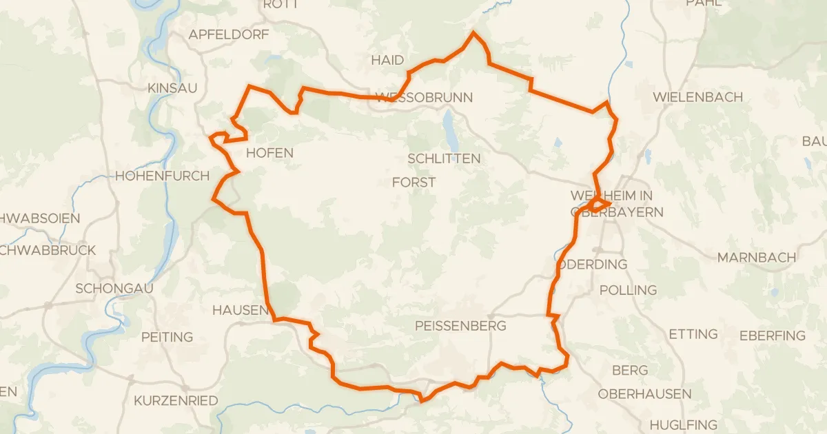
Gravel31% paved
Rondje Schwarzlaichmoor en Rohrmoos
64 km↑ 549 m21 km away
Road bike98% paved
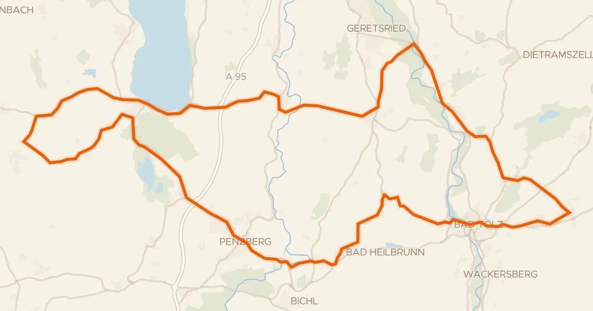
Rondje Schloss Hirschberg am Haarsee en Osterseen
93 km↑ 919 m21 km away
Gravel31% paved
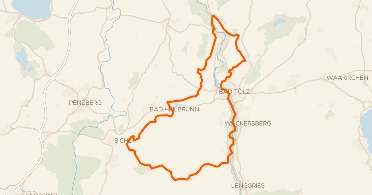
Rondje Isarauen en Hechenberger Leite
57 km↑ 1,244 m24 km away