Back to the librarykm 0–4km 6–7km 19–24km 34–36km 37–41km 55–57km 59–63
Road bikeMade by RouteCasterRound trip
Rondje Schloss Mauer en Enns
Distance
64 km
Ascent
1,602 m
Highest point
1,204 m
100% paved
Start from your location
Ride there from home: we find the shortest way to the loop and start the loop from there.
The ride
Roll out of Filzmoos and let the ride unfold along the water: first the Warme Mandling, then the Kalte Mandling, before the route follows the Enns and later the Nördliche Taurach. Somewhere along the way you pass Schloss Mauer, a castle that marks the turning point of the day. With 64.4 km ahead and 1602 m of climbing, the legs will know they've been out. Back in Filzmoos, the loop closes where it began.
Climbs
Climb 1Cat. 4
3.4 km at 3.6% · max 17.9%
Climb 2Hill
1.6 km at 3.7% · max 25.3%
Climb 3Cat. 2
5.6 km at 8.4% · max 26.2%
Climb 4Cat. 4
2.4 km at 4.4% · max 12.5%
Climb 5Cat. 3
4 km at 6.1% · max 18.5%
Climb 6Hill
2.3 km at 3.3% · max 14.7%
Climb 7Cat. 4
4.1 km at 3.6% · max 14.1%
Routes nearby
Touring75% paved
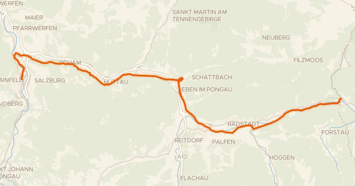
Waters of Central Europe Route – [AT]_2 – (Bischofshofen - Mandling)
38 km↑ 731 m10 km away
Talpass Eben (Wasserscheide Salzach/Enns)

Gravel25% paved
Rondje Traun en Hallstätter See
78 km↑ 3,010 m21 km away

Gravel37% paved
Rondje Lammeröfen en Aubach
57 km↑ 2,609 m21 km away
Road bike100% paved
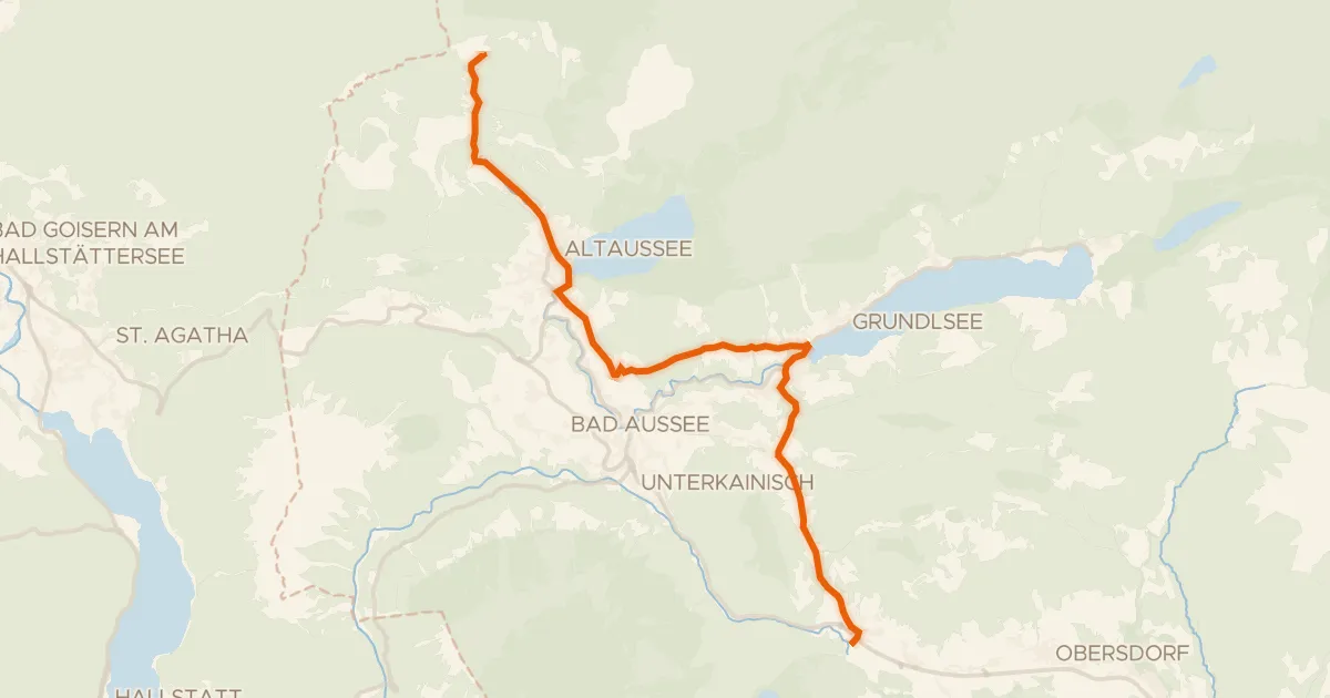
Ausseer Radweg
19 km↑ 481 m29 km away
Radlingpass
Gravel64% paved
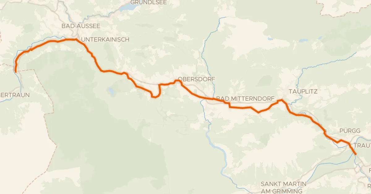
Salzkammergutradweg
40 km↑ 529 m32 km away
Gravel51% paved
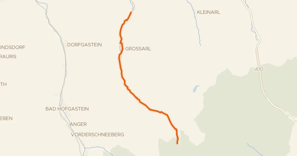
Rad- und Gehweg Großarltal
22 km↑ 498 m33 km away