Back to the librarykm 3–3km 10–11km 12–14km 15–16km 16–18km 18–21km 25–27km 28–28km 38–51km 52–53km 58–67km 73–73km 77–77
GravelMade by RouteCasterRound trip
Rondje Traun en Hallstätter See
Distance
78 km
Ascent
3,010 m
Highest point
1,516 m
25% paved
Start from your location
Ride there from home: we find the shortest way to the loop and start the loop from there.
The ride
Roll out of Hallstatt and the riding starts right away: past the lake, Hallstätter See, then along the Koppentraun river and the Traun river before the loop brings you home. Of the 77.8 km, most is unpaved, and the route climbs 3010 m along the way. Keep the legs turning and enjoy the water views as the ride unfolds.
Climbs
Climb 1Hill
0.6 km at 4.9% · max 14.3%
Climb 2Cat. 4
1.9 km at 6.1% · max 15.4%
Climb 3Hill
1.7 km at 3.9% · max 14.3%
Climb 4Hill
0.9 km at 7.3% · max 16.6%
Climb 5Cat. 4
1.6 km at 7.6% · max 27.4%
Climb 6Cat. 3
3.1 km at 8.4% · max 20.1%
Climb 7Cat. 4
1.7 km at 8.6% · max 13.8%
Climb 8Hill
0.2 km at 14.6% · max 18%
Climb 9HC
12.6 km at 7.6% · max 40.5%
Climb 10Hill
0.5 km at 9.3% · max 12.6%
SträhnhagCat. 1
8.9 km at 8.8% · max 56.5%
Climb 12Cat. 4
0.2 km at 53.4% · max 70.1%
Climb 13Hill
0.7 km at 8.4% · max 21.6%
Routes nearby
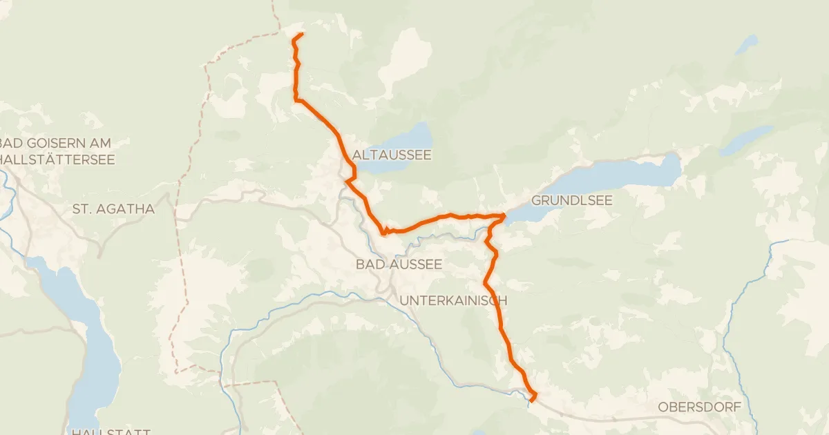
Road bike100% paved
Ausseer Radweg
19 km↑ 481 m13 km away
Radlingpass
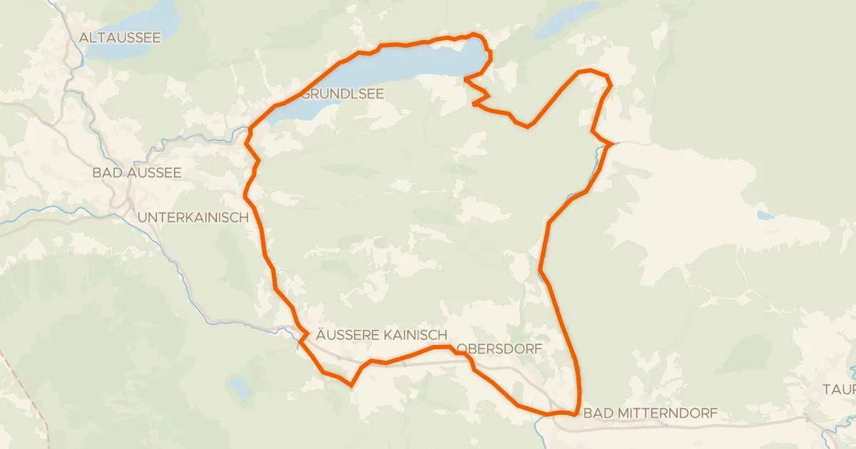
Touring74% paved
Salza Runde S432
40 km↑ 813 m18 km away
Radlingpass
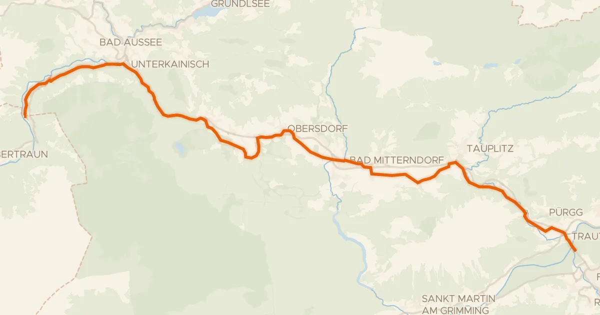
Gravel64% paved
Salzkammergutradweg
40 km↑ 529 m19 km away

Road bike100% paved
Rondje Schloss Mauer en Enns
64 km↑ 1,602 m20 km away

Gravel37% paved
Rondje Lammeröfen en Aubach
57 km↑ 2,609 m23 km away
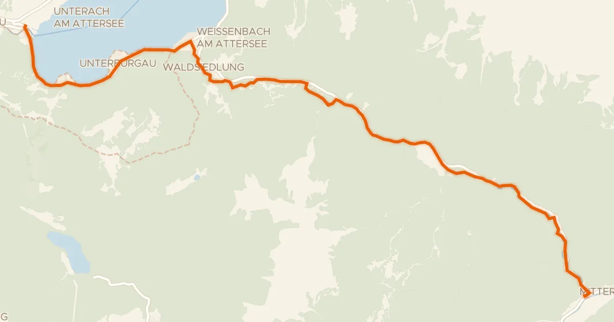
Gravel40% paved
Weißenbachtalweg
20 km↑ 343 m24 km away
Weißenbacher Sattel