Back to the library
Gravel
Rad- und Gehweg Großarltal
Distance
22 km
Ascent
498 m
Highest point
1,079 m
51% paved
The ride
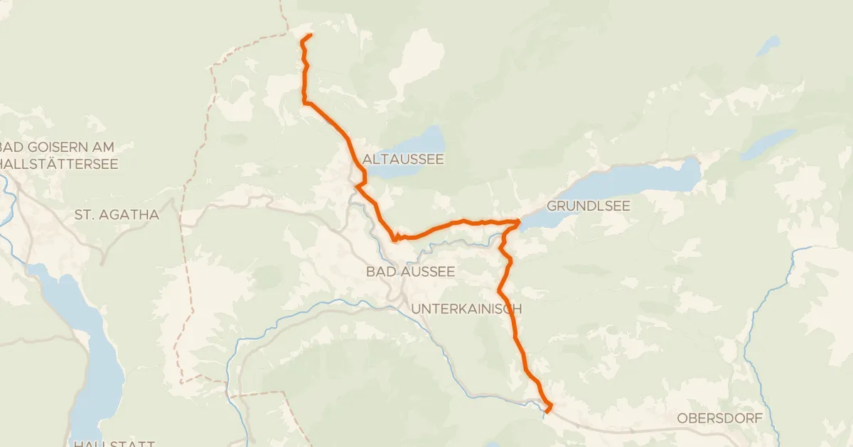
A 22.1 km ride with 498 m of climbing, mixing 51% paved and 48% unpaved surface. Paths make up 47% of the route, cycle paths 20%, and residential roads 14%. Traffic exposure stays at 90% on protected cycleways and bike-network roads, with 0% on busy roads above 50 km/h without a cycle path. Enjoy the blend of surfaces and the climbing.
Routes nearby
![Map of the cycling route Waters of Central Europe Route – [AT]_2 – (Bischofshofen - Mandling)](/thumbs/lib-32ce08da-0540-4f33-b4db-6b987eeec802.webp)
Touring75% paved
Waters of Central Europe Route – [AT]_2 – (Bischofshofen - Mandling)
38 km↑ 731 m20 km away
Talpass Eben (Wasserscheide Salzach/Enns)
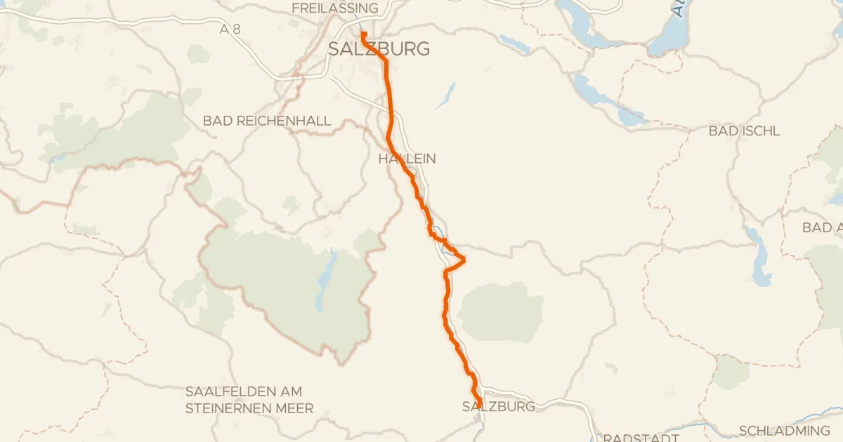
Touring82% paved
Alpe Adria Radweg Etappe 1
56 km↑ 665 m38 km away
Pass Lueg
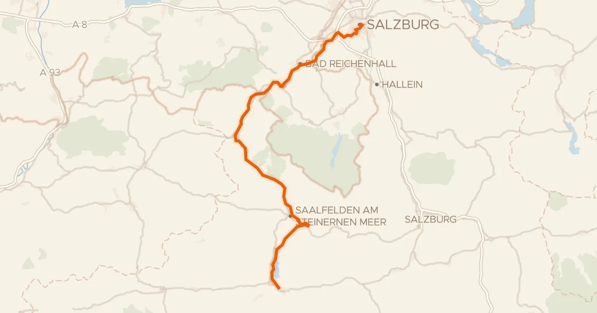
Touring84% paved
Tauernradweg, Etappe Salzburg - Zell am See
101 km↑ 1,318 m39 km away
Kniepass
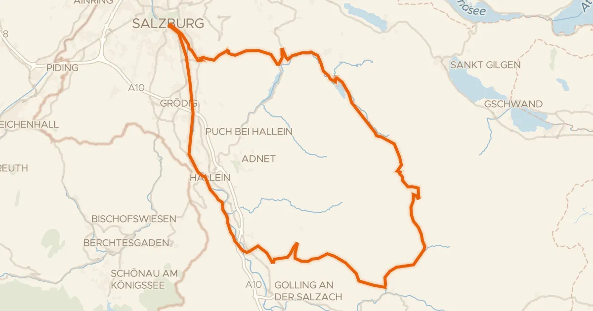
Touring73% paved
Graveltour Salzburg - Genneralm
92 km↑ 2,077 m47 km away
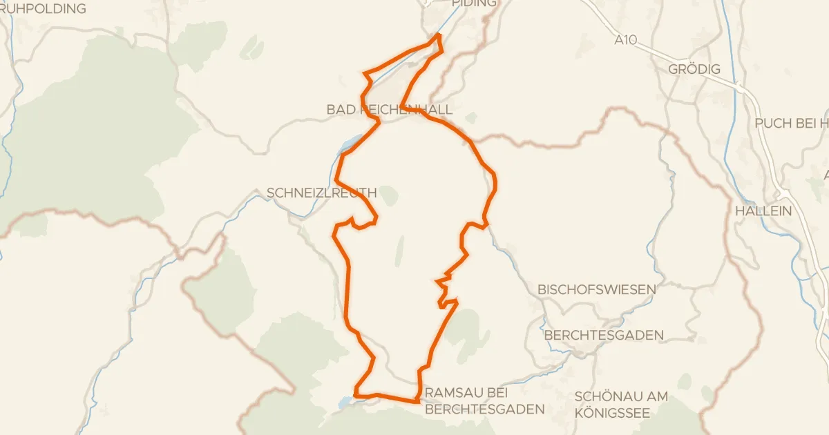
Gravel32% paved
Rondje Taubensee en Saalach
54 km↑ 1,629 m51 km away
Road bike100% paved
Ausseer Radweg
19 km↑ 481 m58 km away
Radlingpass