Back to the librarykm 3–4km 6–8km 9–9km 10–10km 11–12
Touring
Waters of Central Europe Route – [AT]_2 – (Bischofshofen - Mandling)
Distance
38 km
Ascent
731 m
Highest point
868 m
75% paved
The ride
A 38.2 km ride with 731 m of climbing, mixing 75% paved and 25% unpaved surface. The route leads over Talpass Eben, the watershed between Salzach and Enns. Enjoy the changing surface and the steady climb to the pass.
Passes
Talpass Eben (Wasserscheide Salzach/Enns)
Climbs
Climb 1Cat. 4
1 km at 8% · max 16.6%
Climb 2Hill
1.6 km at 3.8% · max 18.4%
Climb 3Hill
0.8 km at 3.2% · max 10.3%
Climb 4Hill
0.4 km at 6.7% · max 12.7%
Climb 5Hill
0.9 km at 5.8% · max 15.1%
Routes nearby
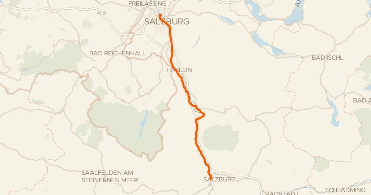
Touring82% paved
Alpe Adria Radweg Etappe 1
56 km↑ 665 m23 km away
Pass Lueg
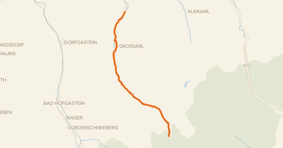
Gravel51% paved
Rad- und Gehweg Großarltal
22 km↑ 498 m24 km away
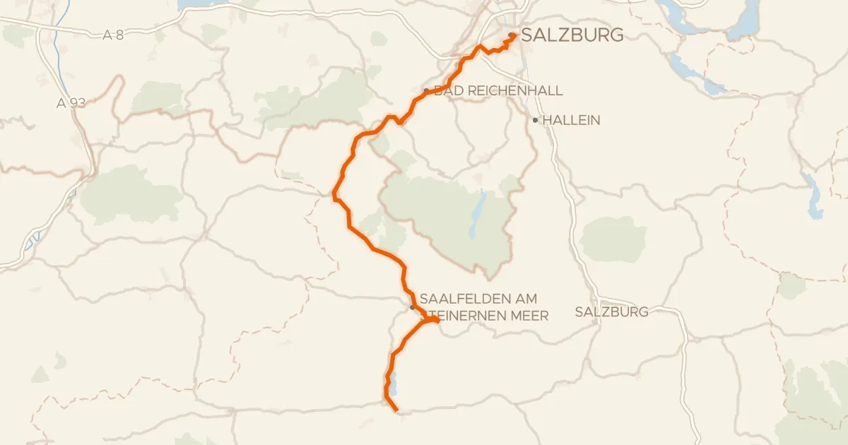
Touring84% paved
Tauernradweg, Etappe Salzburg - Zell am See
101 km↑ 1,318 m30 km away
Kniepass
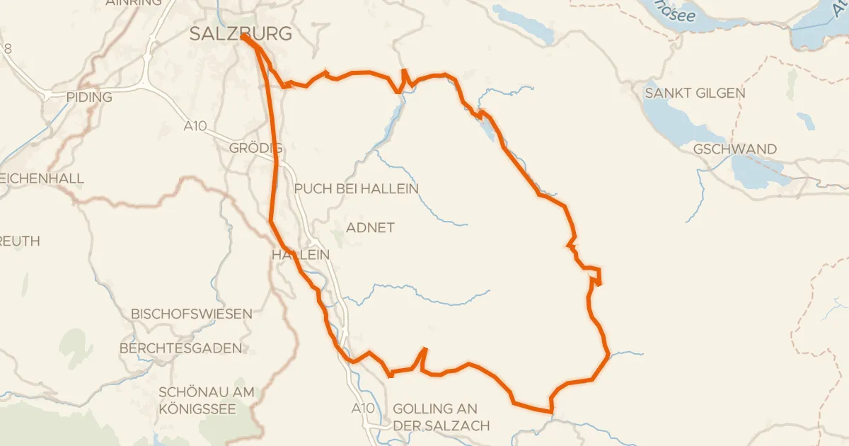
Touring73% paved
Graveltour Salzburg - Genneralm
92 km↑ 2,077 m31 km away
Gravel32% paved
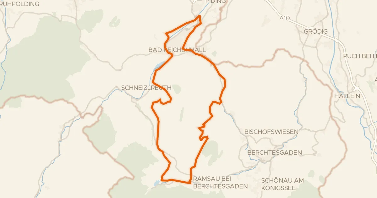
Rondje Taubensee en Saalach
54 km↑ 1,629 m38 km away
Gravel40% paved
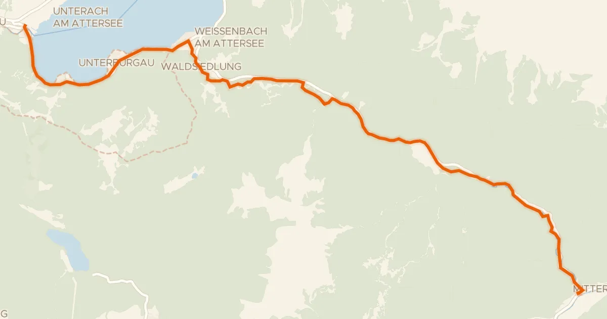
Weißenbachtalweg
20 km↑ 343 m48 km away
Weißenbacher Sattel