Back to the librarykm 12 · Aug 2021 · © littlefool / Mapillary, CC BY-SA km 26 · Jun 2025 · © robffm / Mapillary, CC BY-SA km 42 · Aug 2022 · © tmka / Mapillary, CC BY-SA km 51 · May 2020 · © mapcreator / Mapillary, CC BY-SA km 11–12
Road bikeRouteCasterRound trip
Rondje Schloss Massenheim en Burgruine Eppstein
Distance
66 km
Ascent
557 m
Highest point
313 m
100% paved
Start from your location
Ride there from home: we find the shortest way to the loop and start the loop from there.
The ride
Roll out from Parkeerplaats Prügelwiesen bei Wiesbaden in Breckenheim and back again on this 65.6 km loop. With 557 m of elevation gain, expect a few ups along the way. The entire route is paved, so 0% of it is unpaved. Same start, same finish — simple as that.
Along the way
Climbs
Climb 1Hill
0.8 km at 3.5% · max 10.4%
Routes nearby
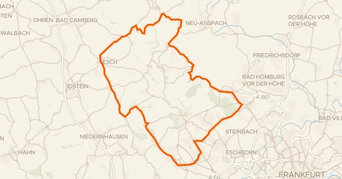
Road bike100% paved
Rondje Wasserturm en Heftricher Moor
73 km↑ 1,391 m16 km away
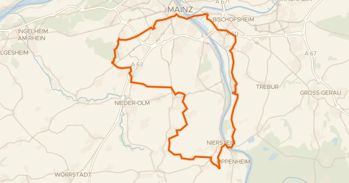
Gravel53% paved
Rondje Zitadelle en Auenwald Hohenaue
72 km↑ 555 m20 km away
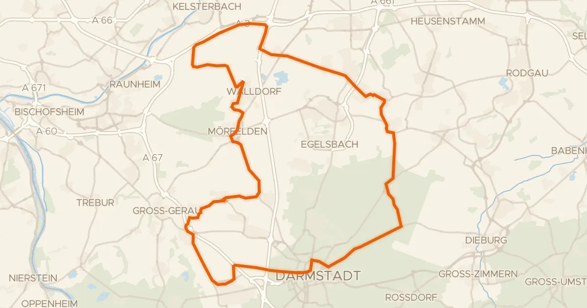
Road bike100% paved
Rondje Burg Hayn in der Dreieich en Schloß Philippseich
82 km↑ 306 m24 km away
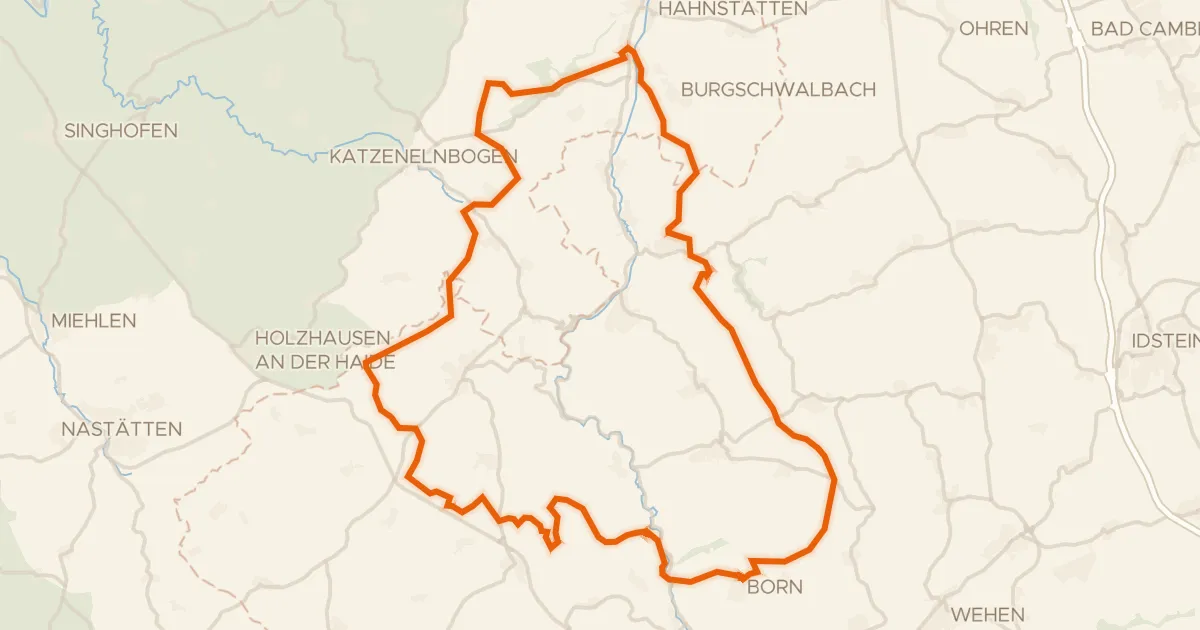
Gravel15% paved
Rondje Burg Adolfseck en Dörsbach
64 km↑ 1,218 m27 km away
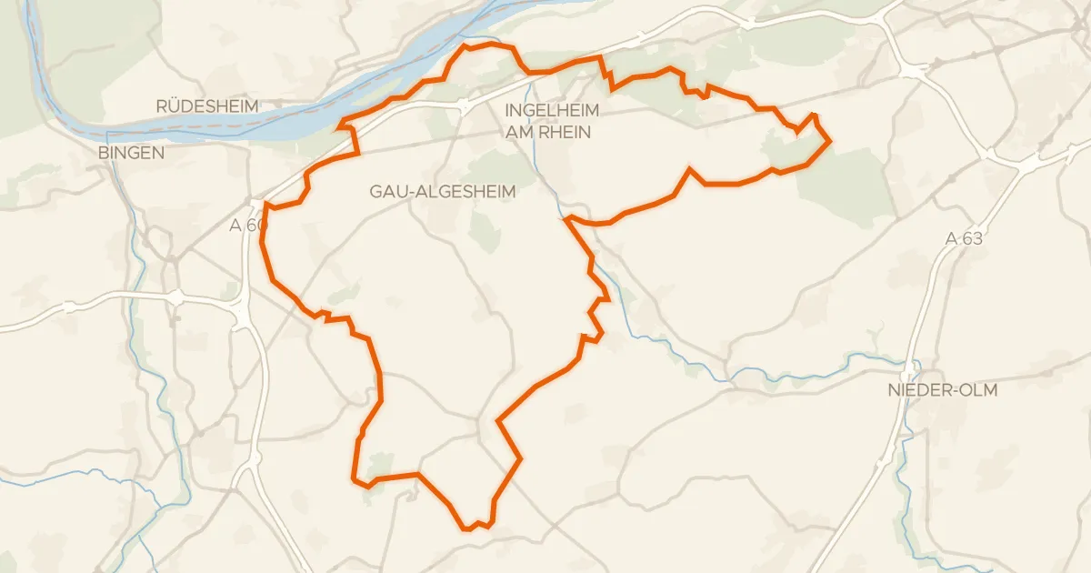
Gravel35% paved
Rondje Napoleonsturm en Sandlache
67 km↑ 689 m28 km away
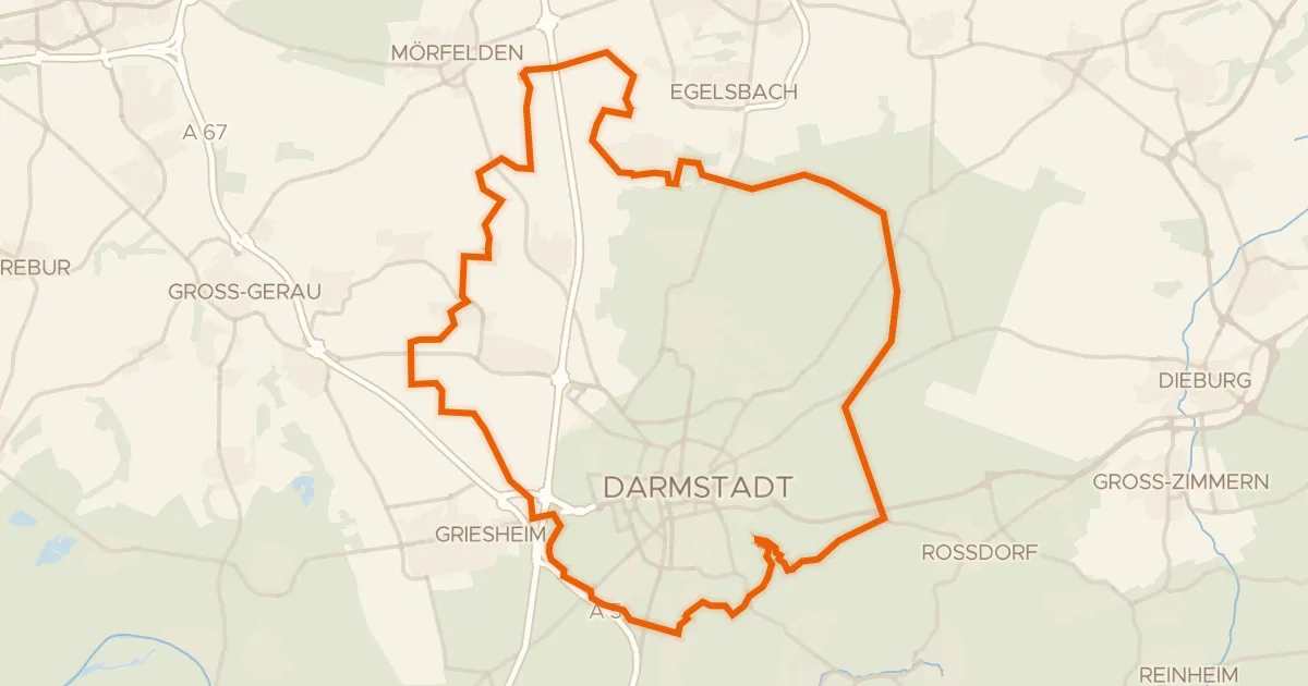
Gravel12% paved
Rondje Schloss Braunshardt en Ludwigsturm
65 km↑ 332 m28 km away