Back to the library
GravelRouteCasterRound trip

Rondje Napoleonsturm en Sandlache

Distance
67 km
Ascent
689 m
Highest point
272 m
35% paved

Start from your location

Ride there from home: we find the shortest way to the loop and start the loop from there.

The ride

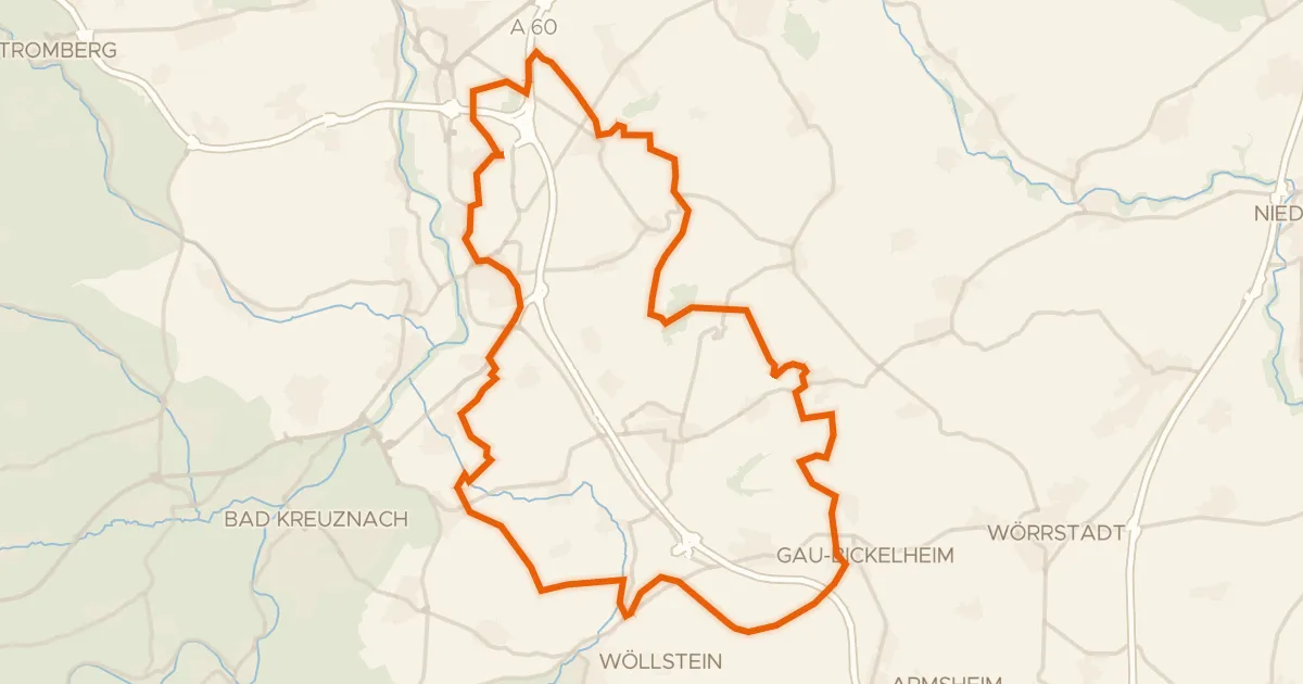
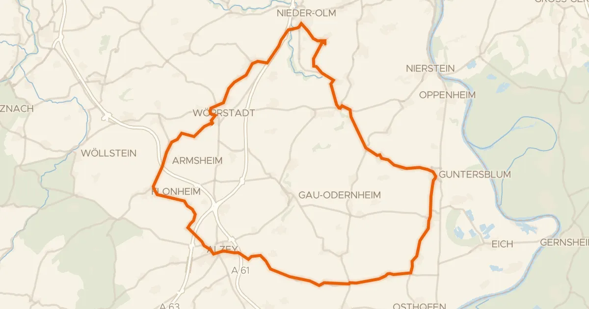
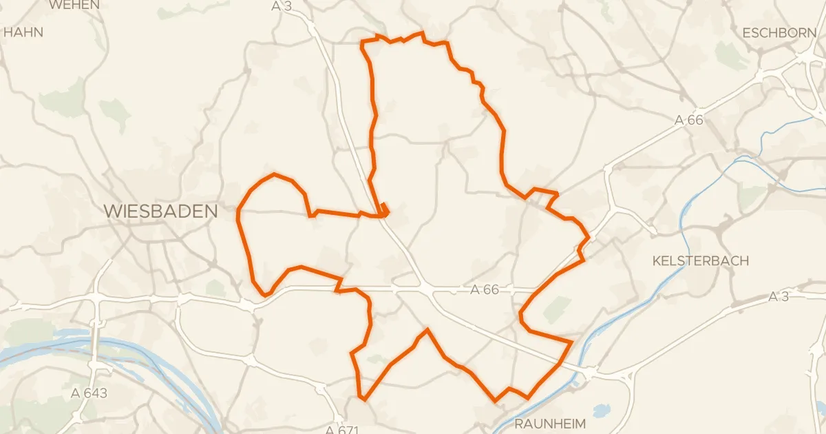
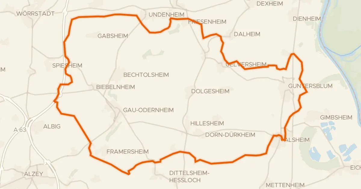
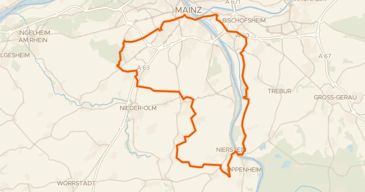
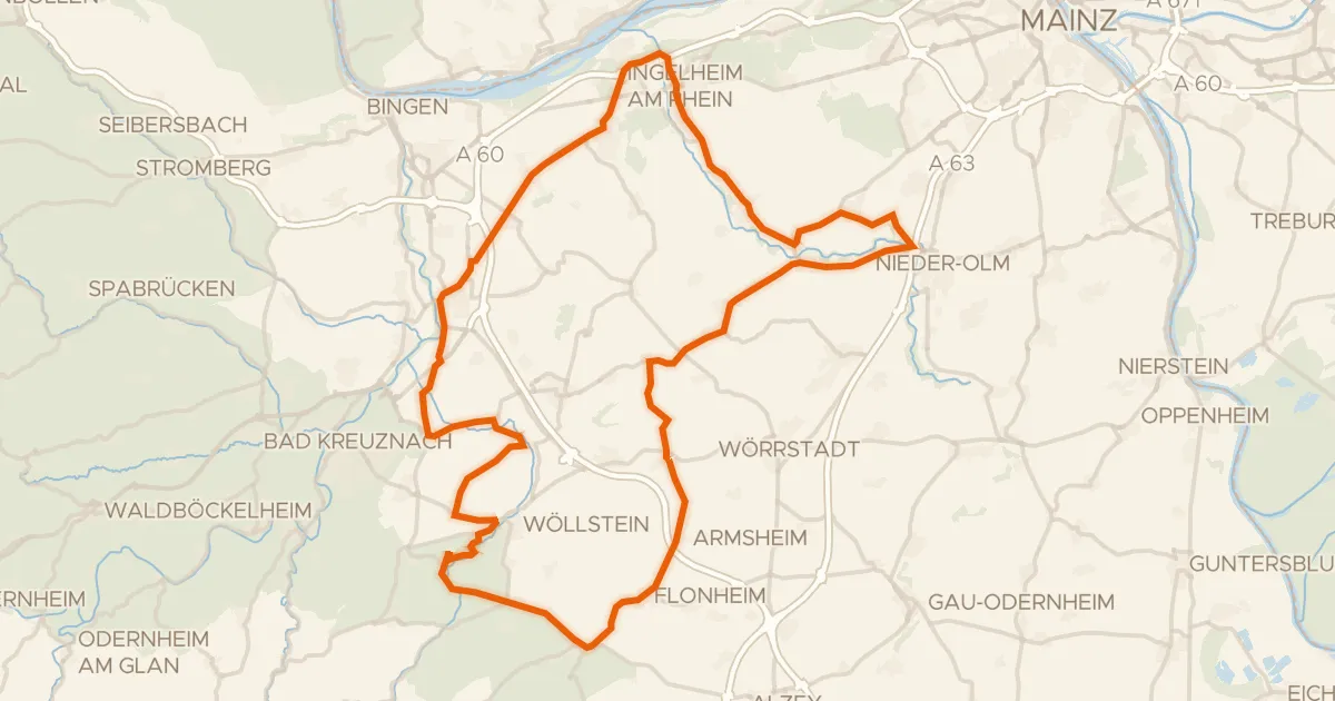
Roll out of Layenhof and the kilometres start ticking: 67.3 km with 689 m of climbing, mostly on unpaved tracks. You pass the Gartenwiese and Thalberg nature reserves before the Napoleonsturm viewpoint, then the Sandlache reserve, and finally the Hangflächen südöstlich Heidesheim. The route loops back to Layenhof, mixing paved and unpaved surfaces the whole way.
Along the way

Climbs

Climb 1Cat. 4
2.2 km at 5% · max 15.6%
km 27–30
Climb 2Cat. 4
3 km at 3.6% · max 13.7%
km 32–35

Routes nearby

More cycling routes in Germany →