Back to the librarykm 10–12km 30–32km 33–34km 36–37km 38–40km 43–46
GravelRouteCasterRound trip
Rondje Hinter der Mortkaute en Jakobsberg
Distance
59 km
Ascent
671 m
Highest point
272 m
42% paved
Start from your location
Ride there from home: we find the shortest way to the loop and start the loop from there.
The ride
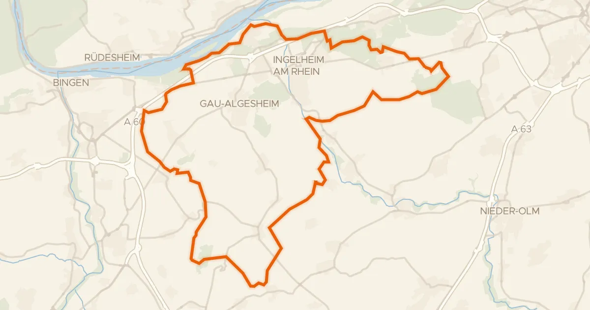
Roll out from Parkeerplaats Hinter der Mortkaute and let the ride unfold. You pass the Appelbach river, then the Horn bei Zotzenheim nature reserve, followed by the Jakobsberg nature reserve. With 59.1 km ahead and 671 m of climbing, the route mixes 42% paved and 58% unpaved surface. The loop returns through the Hinter der Mortkaute nature reserve to where you started.
Climbs
Climb 1Cat. 4
1.7 km at 5.2% · max 12.8%
Climb 2Cat. 4
2.5 km at 3.4% · max 9.1%
Climb 3Hill
0.9 km at 3.7% · max 6.3%
Climb 4Hill
1 km at 6.3% · max 10%
Climb 5Cat. 4
2.1 km at 5.1% · max 16.7%
Climb 6Cat. 4
3 km at 3.6% · max 13.3%
Routes nearby
Gravel35% paved
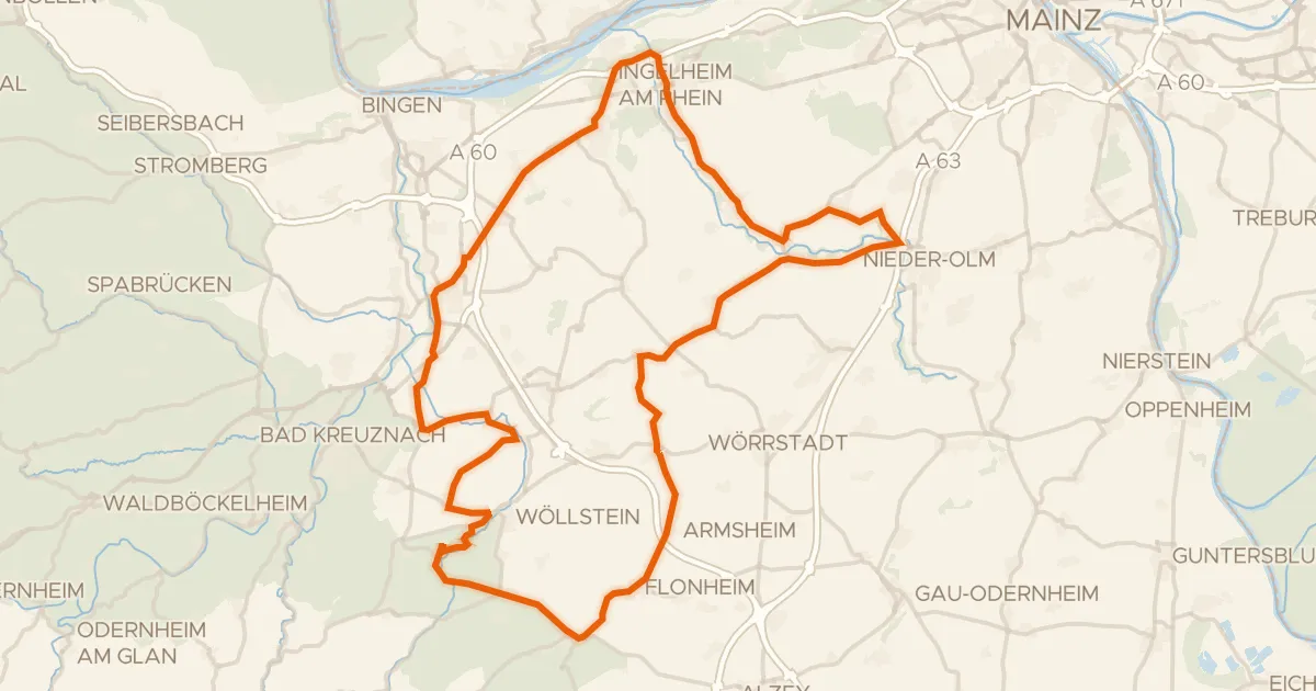
Rondje Napoleonsturm en Sandlache
67 km↑ 689 m9 km away
Road bike100% paved
Rondje Neu-Baumburg en Burg Stadeck
90 km↑ 663 m10 km away
Touring93% paved
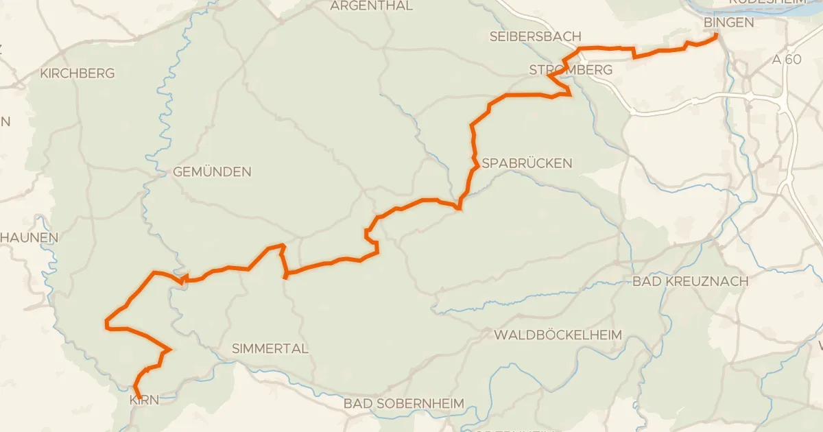
Soonwald-Tour
64 km↑ 1,248 m20 km away
Gravel24% paved
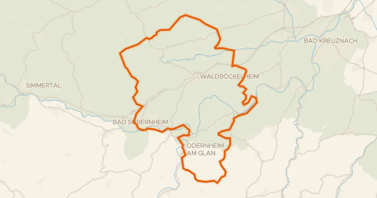
Rondje Disibodenberg en Lemberg
59 km↑ 1,163 m21 km away
Road bike98% paved
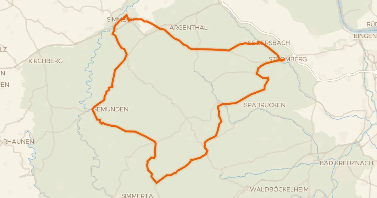
Rondje Stromburg en Burg Gollenfels
76 km↑ 1,420 m22 km away
Road bike100% paved
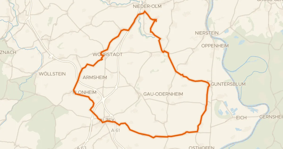
Rondje Alzeyer Schloss en Selz
76 km↑ 840 m23 km away