Back to the librarykm 30 · Sep 2021 · © miguel_andrade / Mapillary, CC BY-SA km 26–26km 45–46
GravelRouteCasterRound trip
Rondje Herrenweide en Hollerheck
Distance
62 km
Ascent
541 m
Highest point
270 m
43% paved
Start from your location
Ride there from home: we find the shortest way to the loop and start the loop from there.
The ride
Roll out of Alsheim and let the ride unfold: 62.0 km with 541 m of climbing, mixing paved and unpaved surfaces. You pass the Herrenweide nature reserve, then the Hollerheck nature reserve, before the route loops back to Alsheim. A lively day on the bike, start to finish.
Along the way
Climbs
Climb 1Hill
0.4 km at 8.1% · max 12%
Climb 2Hill
1.3 km at 4.8% · max 15.4%
Routes nearby
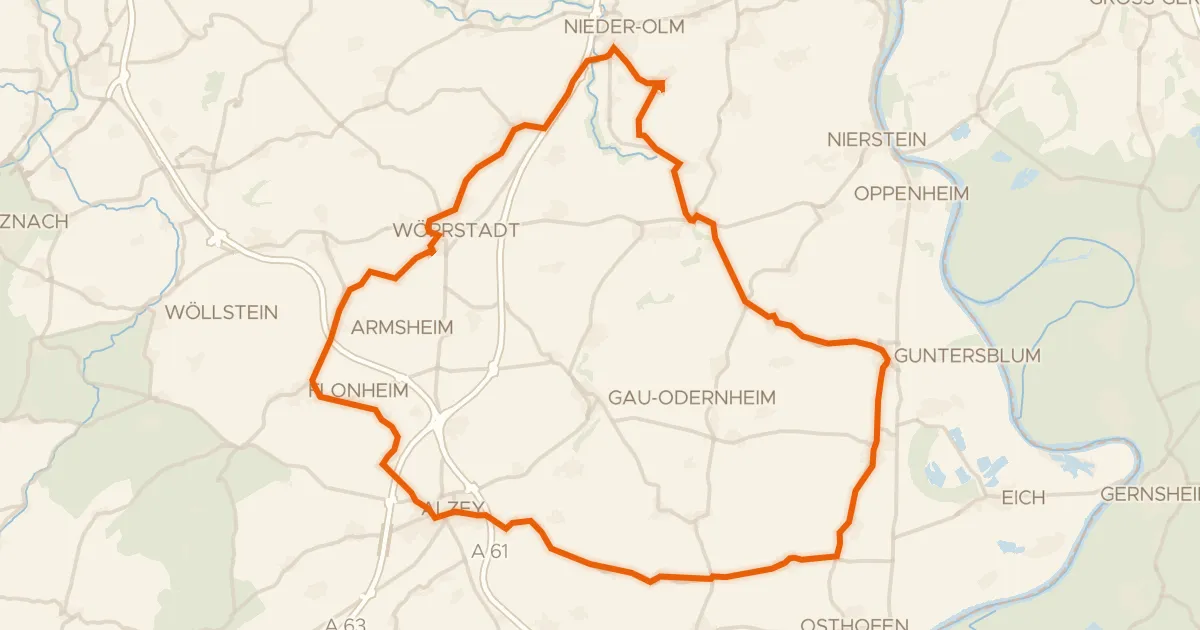
Road bike100% paved
Rondje Alzeyer Schloss en Selz
76 km↑ 840 m12 km away
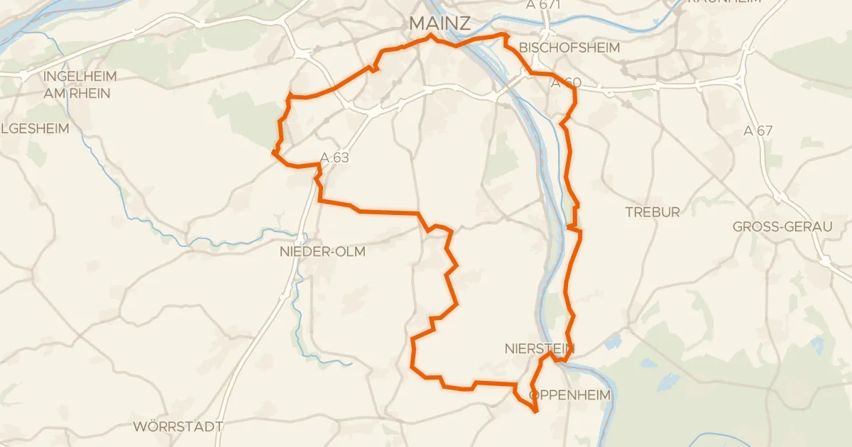
Gravel53% paved
Rondje Zitadelle en Auenwald Hohenaue
72 km↑ 555 m18 km away
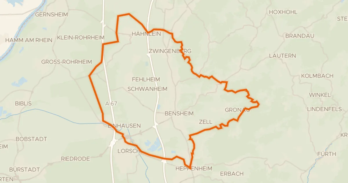
Gravel35% paved
Rondje Kloster Lorsch en Schannenbacher Moor
55 km↑ 1,034 m21 km away
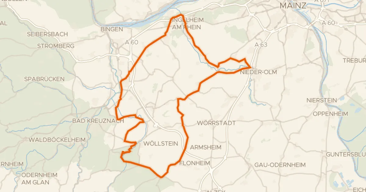
Road bike100% paved
Rondje Neu-Baumburg en Burg Stadeck
90 km↑ 663 m24 km away
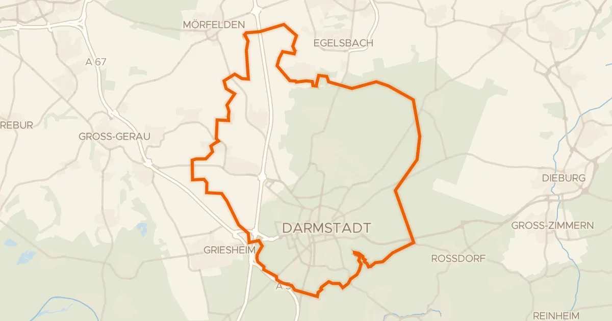
Gravel12% paved
Rondje Schloss Braunshardt en Ludwigsturm
65 km↑ 332 m27 km away
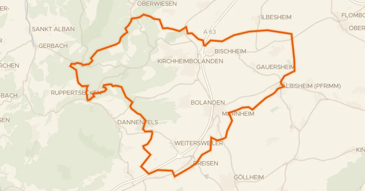
Gravel29% paved
Rondje Osterberg en Vorholz
59 km↑ 904 m28 km away