Back to the librarykm 22 · May 2018 · © britiger / Mapillary, CC BY-SA km 45 · Jul 2026 · © AR88 / Mapillary, CC BY-SA km 51 · Jul 2026 · © AR88 / Mapillary, CC BY-SA km 0–2km 3–4km 5–8km 24–25km 27–30km 31–35km 36–38km 38–45km 58–60
GravelRouteCasterRound trip
Rondje Schloss Ilsenburg en Oberharz
Distance
62 km
Ascent
1,607 m
Highest point
1,031 m
16% paved
Start from your location
Ride there from home: we find the shortest way to the loop and start the loop from there.
The ride
Roll out of Bergstadt Altenau and let the ride unfold: first the NSG Butterberggelände nature reserve, then the Oker- und Eckertal nature reserve in the Goslar and Wolfenbüttel districts. Schloss Ilsenburg castle follows, before the Obere Schwarze Tannen forest and the Naturschutzgebiet Oberharz nature reserve. Of the 62.3 km, most runs unpaved, and 1607 m of climbing keeps the legs honest. Back to Altenau it is.
Along the way
Climbs
Climb 1Cat. 4
1.8 km at 6.3% · max 32.3%
Climb 2Hill
0.4 km at 11.7% · max 30.7%
Climb 3Cat. 3
2.6 km at 8% · max 18.6%
Climb 4Hill
1.9 km at 3.8% · max 12.1%
Climb 5Cat. 4
2.6 km at 4.2% · max 11.9%
Climb 6Cat. 3
4 km at 5.7% · max 15.7%
Climb 7Cat. 4
2 km at 4.3% · max 21.4%
Climb 8Cat. 2
7 km at 6.8% · max 23.7%
Climb 9Hill
1.2 km at 4% · max 12.2%
Routes nearby
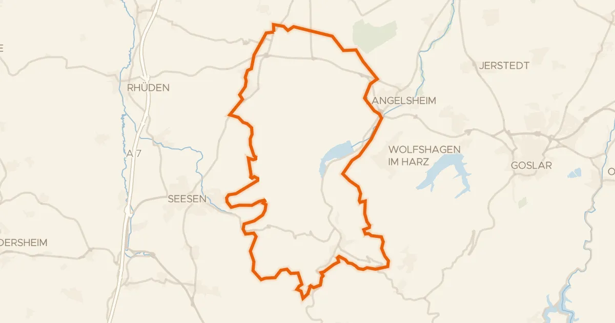
Gravel19% paved
Rondje Burgruine Kahlenberg en Innerste
59 km↑ 1,493 m17 km away
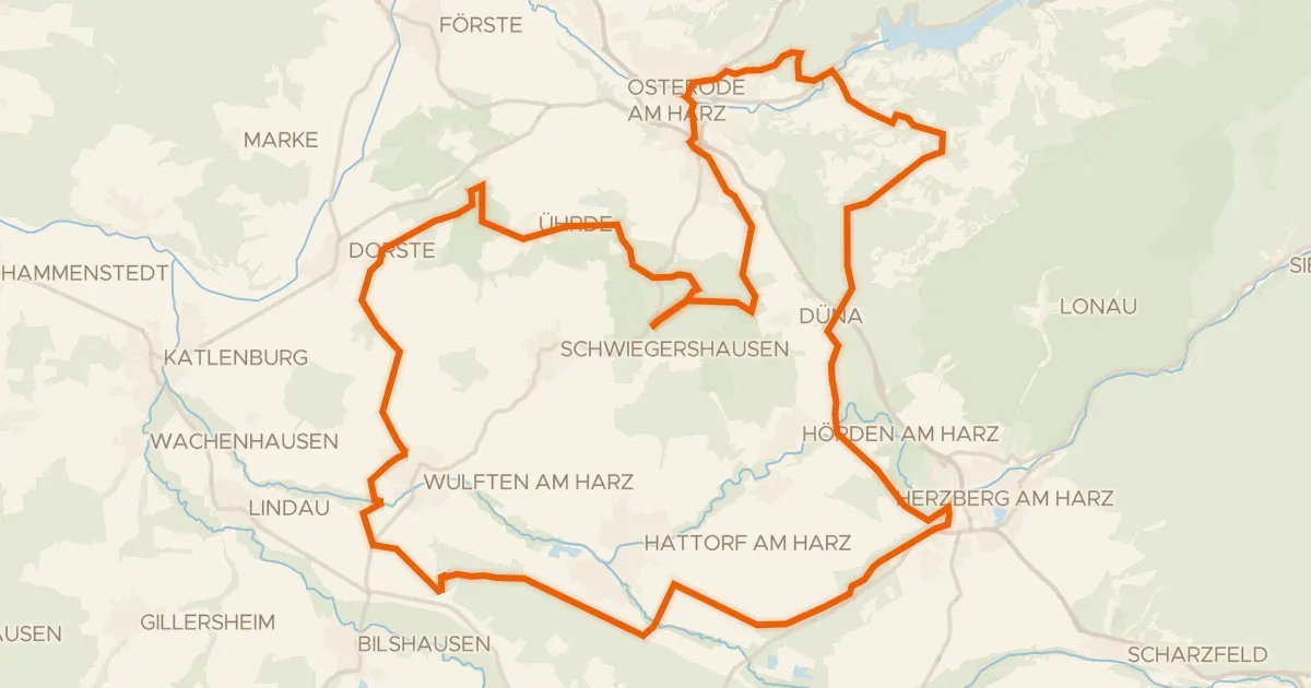
Gravel32% paved
Rondje Alte Burg en Schloss Herzberg
64 km↑ 1,111 m19 km away
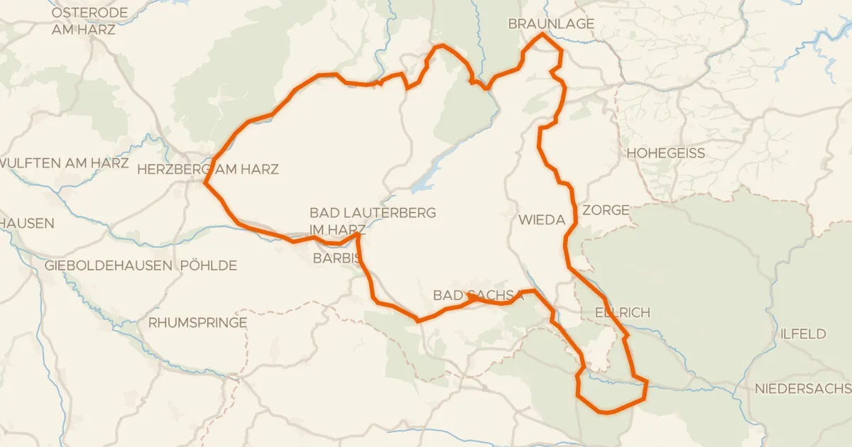
Road bike100% paved
Rondje Kleine Herrenburg en Staufenberg
93 km↑ 1,444 m20 km away
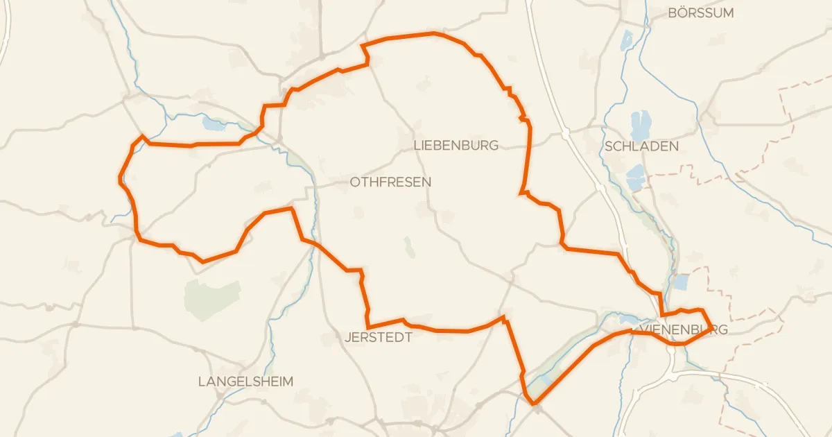
Road bike98% paved
Rondje Burg Lutter en NSG Okertal südlich Vienenburg
75 km↑ 546 m21 km away
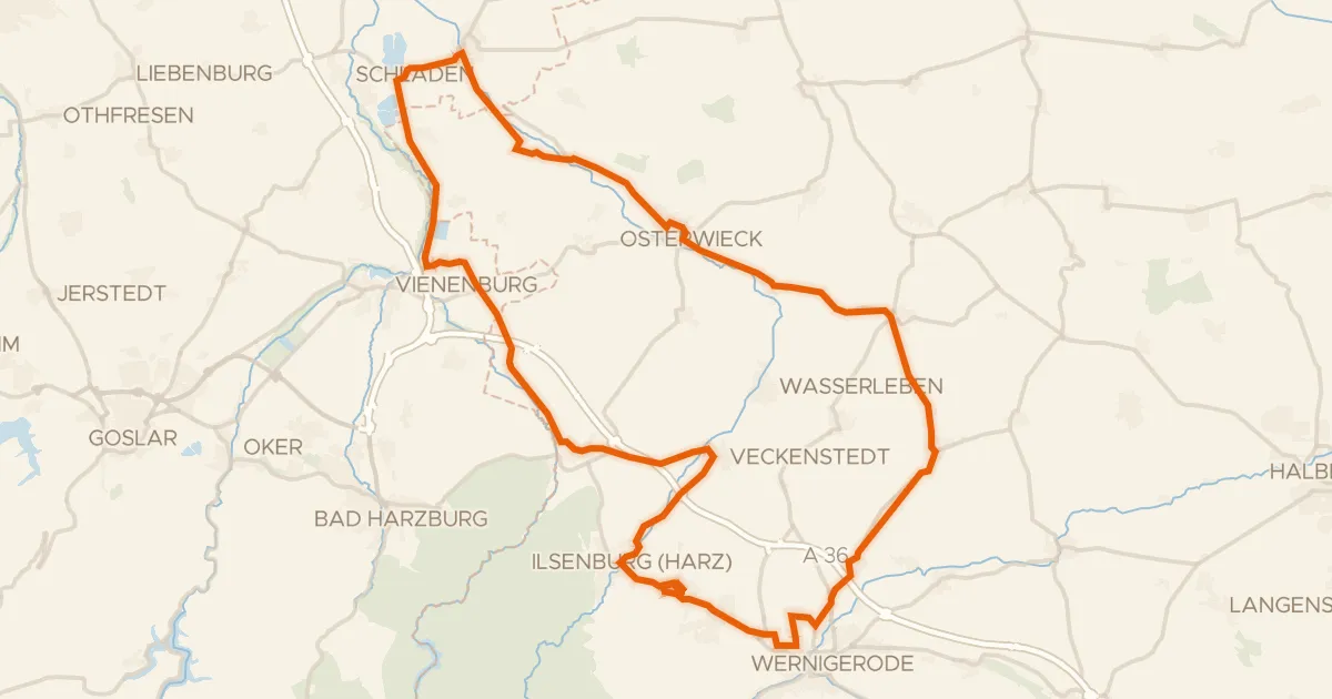
Road bike98% paved
Rondje Wasserburg Zilly en Okertal
77 km↑ 407 m23 km away
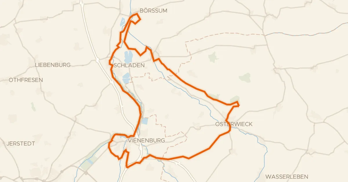
Gravel32% paved
Rondje Burgruine Vienenburg en Hornburg
65 km↑ 437 m25 km away