Back to the librarykm 6–9km 10–12km 15–18km 20–25km 30–31km 31–35km 46–47km 49–50
GravelRouteCasterRound trip
Rondje Burgruine Kahlenberg en Innerste
Distance
59 km
Ascent
1,493 m
Highest point
615 m
19% paved
Start from your location
Ride there from home: we find the shortest way to the loop and start the loop from there.
The ride
Roll out from Parkeerplaats Pöbbeckenmühle and let the ride unfold. Through Loch forest and on past Flößhai forest, then along the Innerste river. Next comes Appelhorn nature reserve, before the climb up to Burgruine Kahlenberg castle. Back to where you started, 58.5 km richer.
Climbs
Climb 1Cat. 4
3.3 km at 4.5% · max 16.8%
Climb 2Cat. 4
1.8 km at 8.3% · max 24.3%
Climb 3Cat. 3
3.1 km at 6.1% · max 14.6%
Climb 4Cat. 3
5.6 km at 5.5% · max 14.6%
Climb 5Cat. 4
1.7 km at 7.2% · max 13.8%
Climb 6Cat. 3
3.5 km at 5.3% · max 19.9%
Climb 7Cat. 4
1.1 km at 9.5% · max 28.9%
Climb 8Hill
1.4 km at 3.1% · max 7.1%
Routes nearby
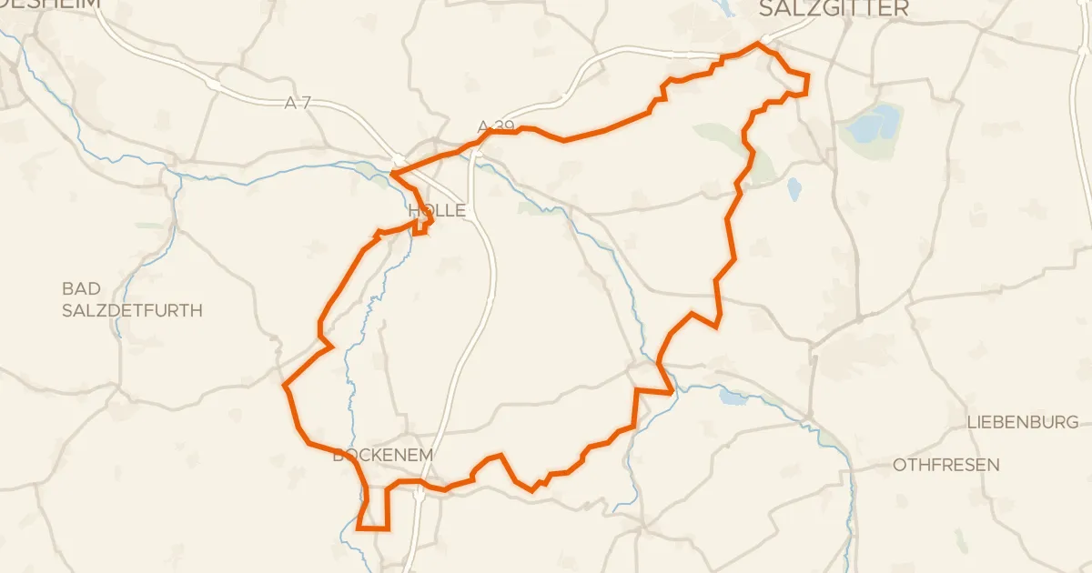
Gravel43% paved
Rondje Schloss Salder en Sauberge
77 km↑ 788 m11 km away
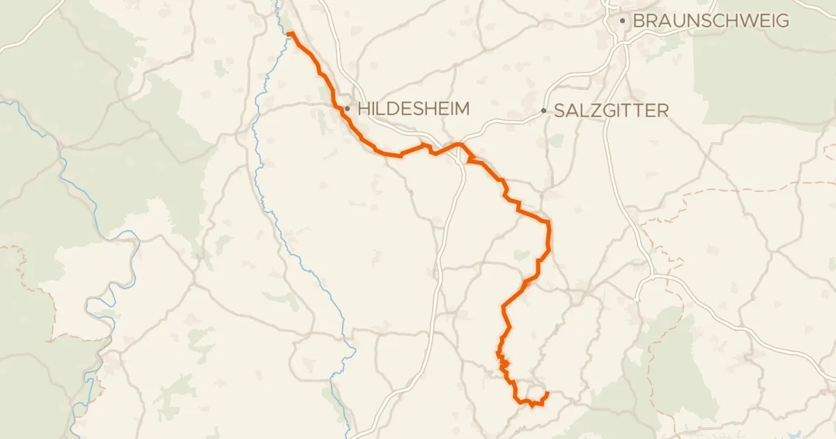
Touring71% paved
Innerste-Radweg
107 km↑ 957 m11 km away
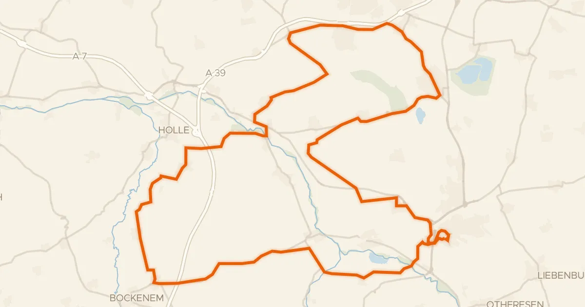
Road bike99% paved
Rondje Burg Gebhardshagen en Schloss Oelber
71 km↑ 616 m12 km away
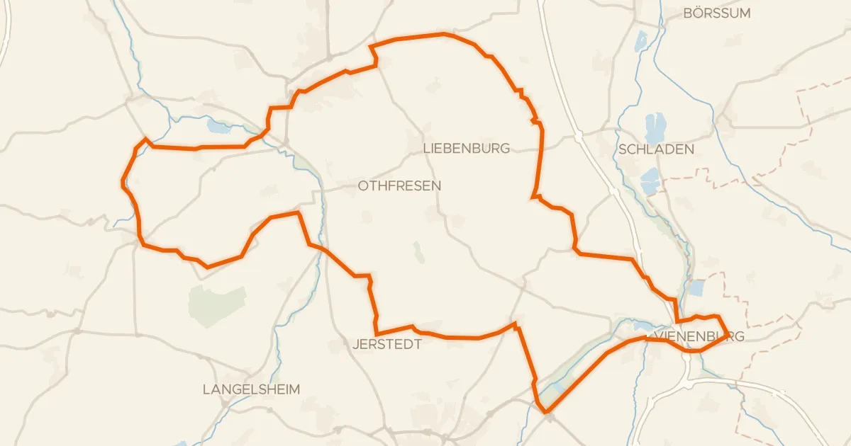
Road bike98% paved
Rondje Burg Lutter en NSG Okertal südlich Vienenburg
75 km↑ 546 m14 km away
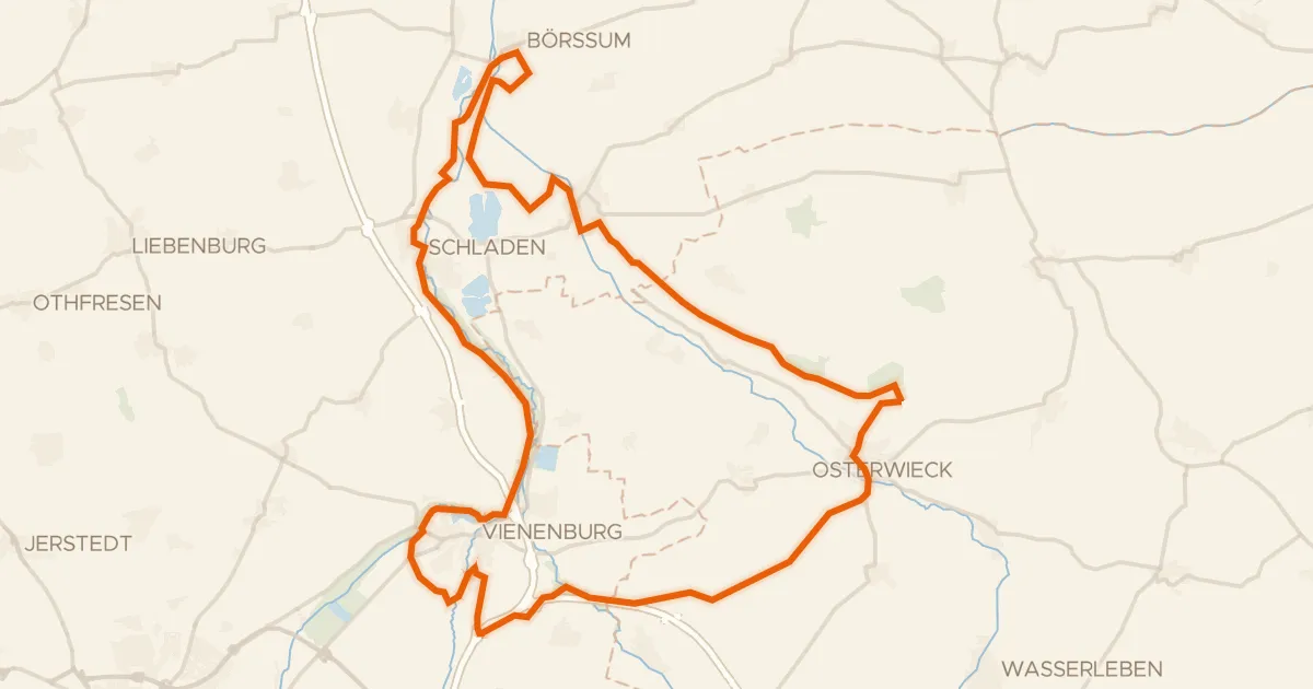
Gravel32% paved
Rondje Burgruine Vienenburg en Hornburg
65 km↑ 437 m27 km away
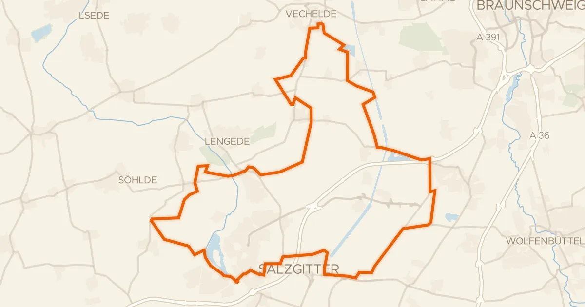
Gravel59% paved
Rondje Lengeder Teiche en Salzgittersee
59 km↑ 147 m27 km away