Back to the librarykm 28–29km 37–38
GravelRouteCasterRound trip
Rondje Schloss Hohlach en Naturpark Frankenhöhe
Distance
59 km
Ascent
495 m
Highest point
432 m
44% paved
Start from your location
Ride there from home: we find the shortest way to the loop and start the loop from there.
The ride
Roll out of Uffenheim and let the Frankenhöhe nature reserve open the ride, before Schloss Hohlach castle appears along the way. Then it's into the Schlagholz and Klosterwald forests, with 59.1 km and 495 m of climbing to keep the legs honest. More than half the route runs unpaved, so the mix shifts under your wheels from one section to the next. The loop closes back in Uffenheim.
Climbs
Climb 1Hill
1.2 km at 3.2% · max 9.7%
Climb 2Hill
1 km at 3% · max 5%
Routes nearby
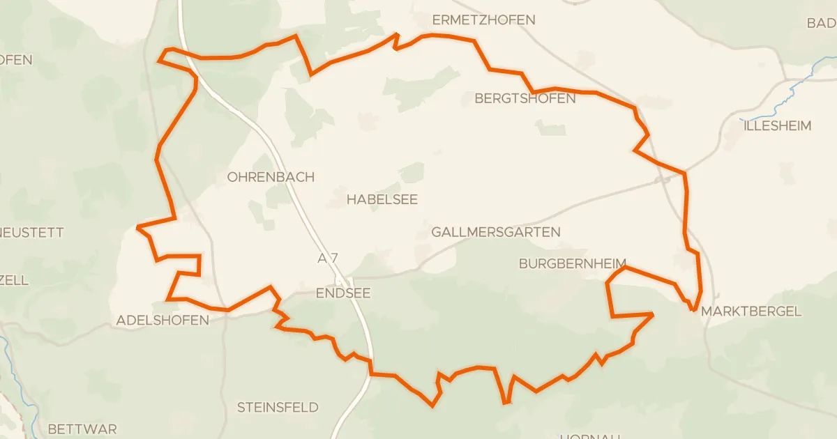
Gravel22% paved
Rondje Naturpark Frankenhöhe en Hirschteich
60 km↑ 483 m10 km away
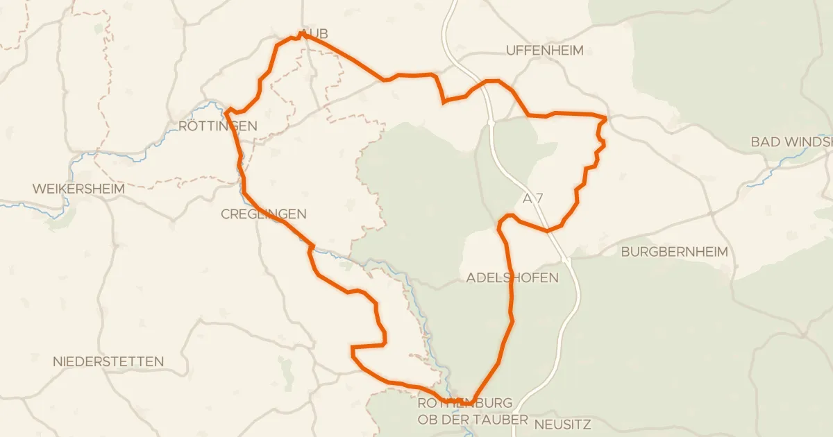
Road bike100% paved
Rondje langs de Tauber en Schloss Aub
75 km↑ 668 m11 km away
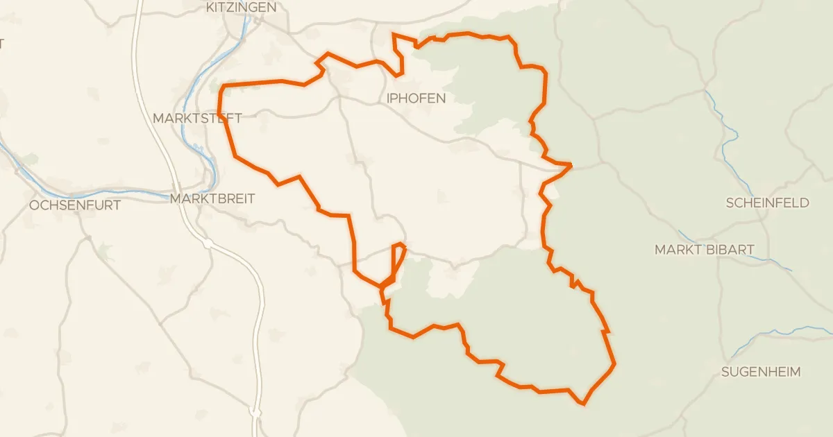
Gravel38% paved
Rondje Schloss Schwanberg en Schloss Seehaus
79 km↑ 993 m13 km away
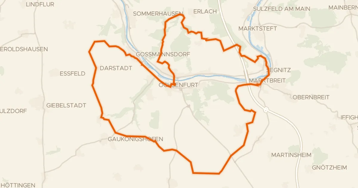
Gravel58% paved
Rondje Schloss Marktbreit en Zeubelrieder Moor
54 km↑ 626 m17 km away
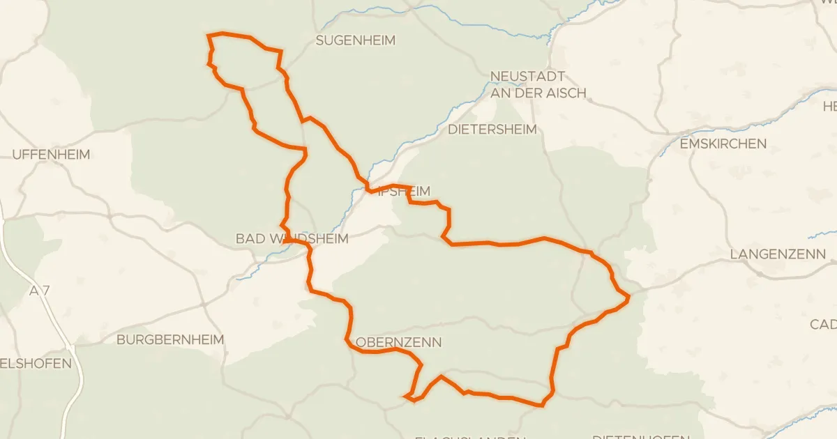
Road bike99% paved
Rondje Blaues Schloß en Külsheimer Gipshügel
87 km↑ 882 m21 km away
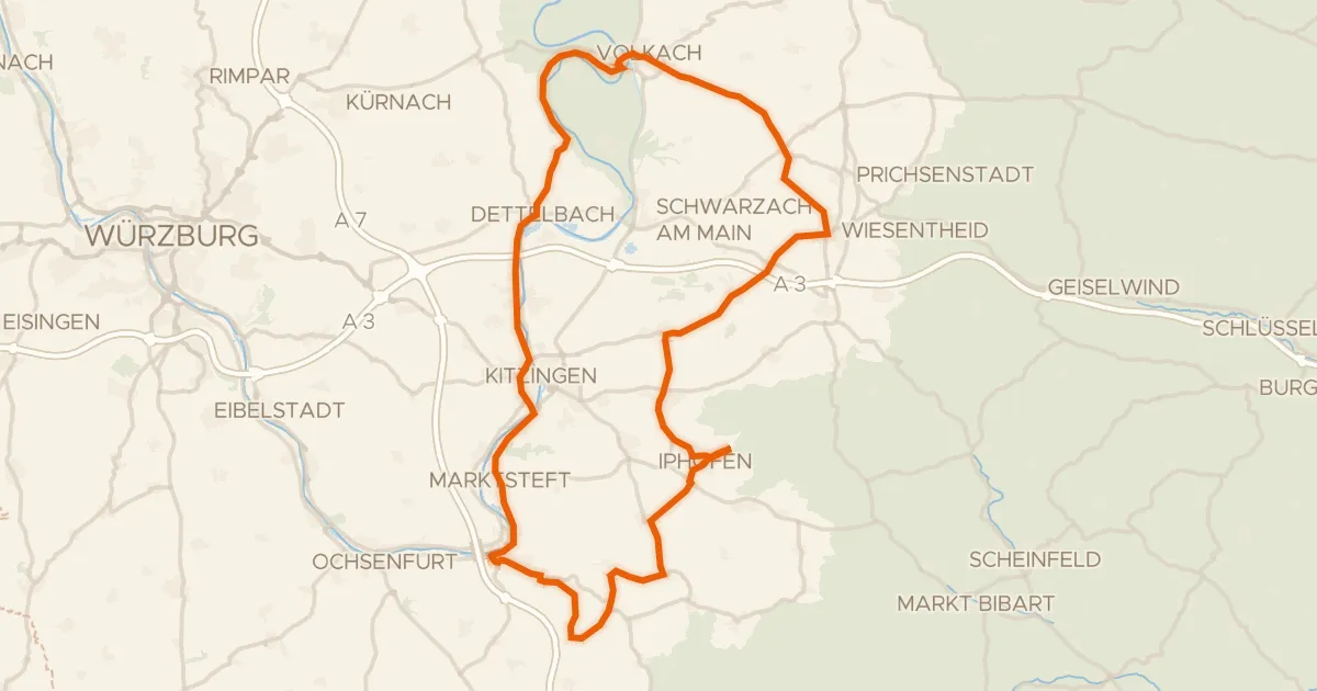
Road bike100% paved
Rondje Schloss Crailsheim en Schloss Marktbreit
83 km↑ 620 m23 km away