Back to the library
GravelRouteCasterRound trip
Rondje Naturpark Frankenhöhe en Hirschteich
Distance
60 km
Ascent
483 m
Highest point
516 m
22% paved
Start from your location
Ride there from home: we find the shortest way to the loop and start the loop from there.
The ride
Roll out of Marktbergel and let the ride unfold: 59.9 km with 483 m of climbing, most of it on unpaved tracks. You head into the Naturpark Frankenhöhe, then roll past Hirschteich before looping back to the village. A mix of paved and gravel keeps it varied, and the climbing adds a bit of bite. Back in Marktbergel, you've earned the finish.
Routes nearby
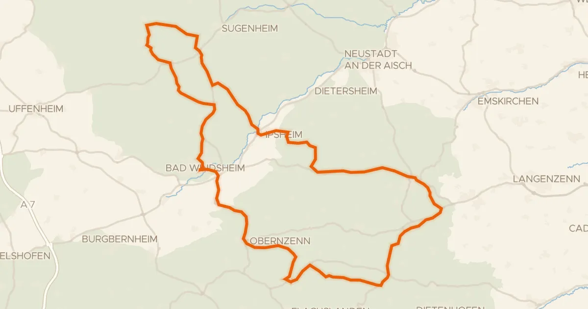
Road bike99% paved
Rondje Blaues Schloß en Külsheimer Gipshügel
87 km↑ 882 m14 km away
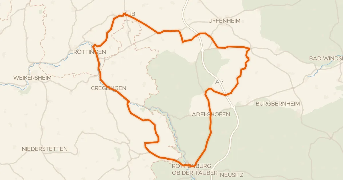
Road bike100% paved
Rondje langs de Tauber en Schloss Aub
75 km↑ 668 m16 km away
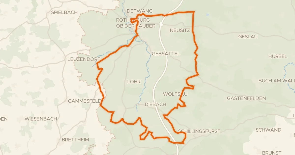
Gravel26% paved
Rondje Karrachsee en Tauber
60 km↑ 660 m17 km away
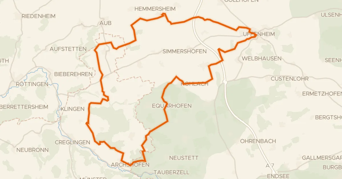
Gravel44% paved
Rondje Schloss Hohlach en Naturpark Frankenhöhe
59 km↑ 495 m18 km away
Road bike100% paved
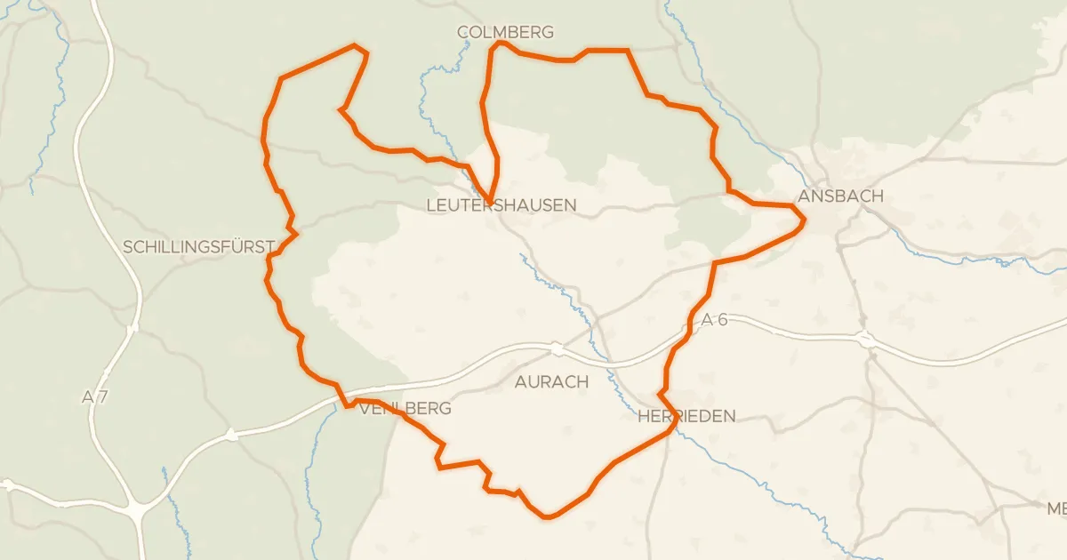
Rondje Stadtschloss Herrieden en Naturpark Frankenhöhe
77 km↑ 707 m19 km away
Gravel34% paved
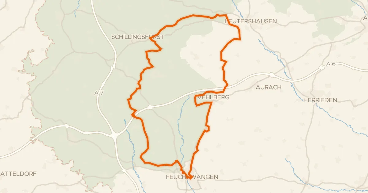
Rondje Jagsheimisches Schlösschen en Naturpark Frankenhöhe
60 km↑ 650 m23 km away