Back to the librarykm 8 · May 2022 · © zoegglmeyr1 / Mapillary, CC BY-SA km 17 · Feb 2021 · © changchun1 / Mapillary, CC BY-SA km 28 · Mar 2025 · © epircher / Mapillary, CC BY-SA km 44 · Mar 2022 · © zoegglmeyr1 / Mapillary, CC BY-SA km 0–2km 9–10km 14–15km 42–42km 45–47km 47–48
GravelRouteCasterRound trip
Rondje Schloss Marktbreit en Zeubelrieder Moor
Distance
54 km
Ascent
626 m
Highest point
330 m
58% paved
Start from your location
Ride there from home: we find the shortest way to the loop and start the loop from there.
The ride
Roll out of Ochsenfurt and follow the Main before the road tilts up to the Maintalhang Kleinochsenfurter Berg nature reserve. Onward past the Zeubelrieder Moor nature reserve and the castle at Marktbreit, with 54.2 km and 626 m of climbing across a mix of paved and unpaved lanes. Then it's back to Ochsenfurt to close the loop.
Along the way
Climbs
Climb 1Cat. 4
1.3 km at 6.7% · max 14.5%
Climb 2Hill
1 km at 4.6% · max 11.5%
Climb 3Hill
0.6 km at 4.7% · max 6.6%
Climb 4Hill
0.9 km at 5.1% · max 11.4%
Climb 5Hill
1.6 km at 3.6% · max 12.7%
Climb 6Hill
0.8 km at 3.7% · max 5.1%
Routes nearby
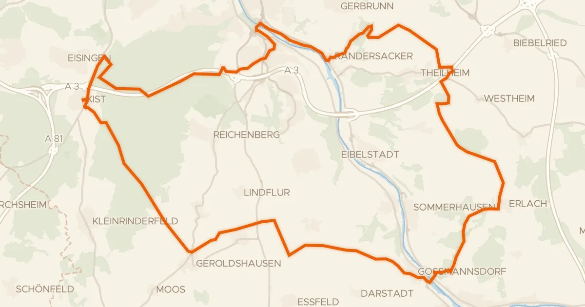
Gravel50% paved
Rondje Zeubelrieder Moor en Main
65 km↑ 713 m10 km away
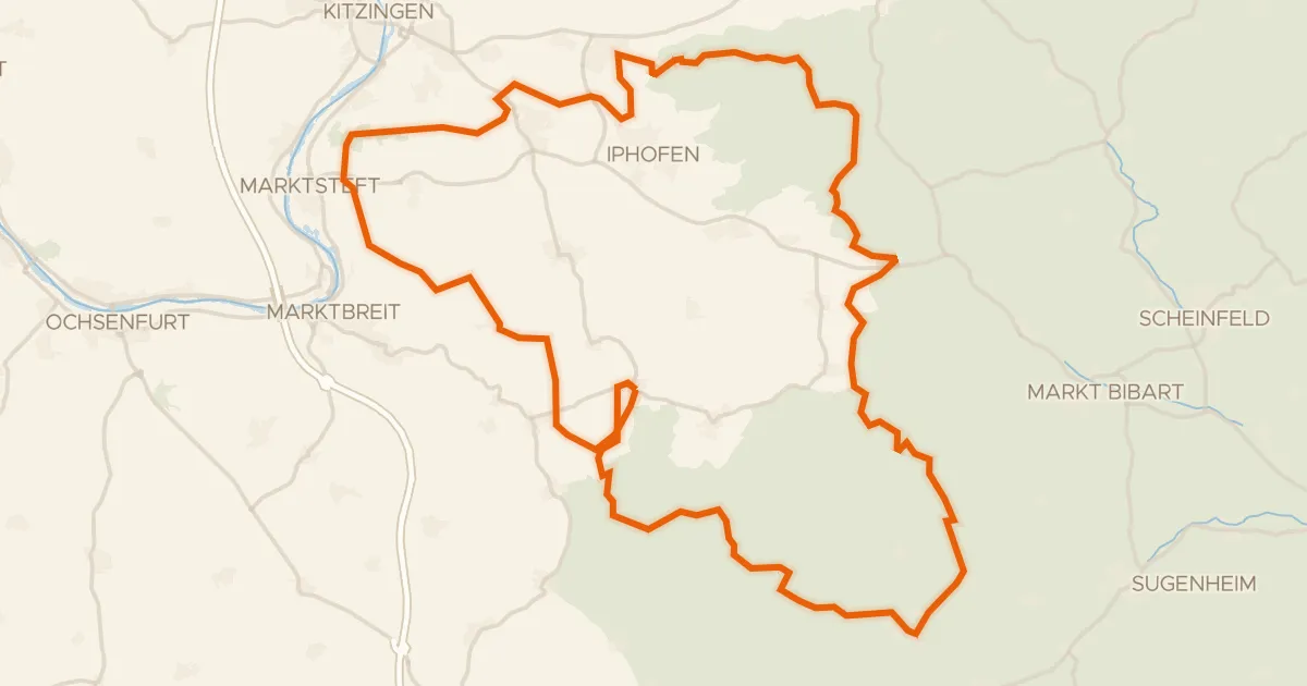
Gravel38% paved
Rondje Schloss Schwanberg en Schloss Seehaus
79 km↑ 993 m14 km away
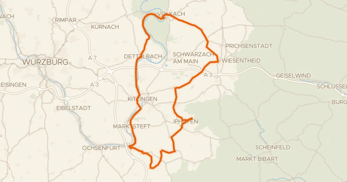
Road bike100% paved
Rondje Schloss Crailsheim en Schloss Marktbreit
83 km↑ 620 m16 km away
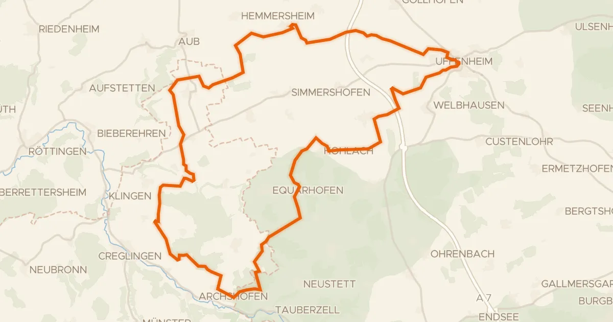
Gravel44% paved
Rondje Schloss Hohlach en Naturpark Frankenhöhe
59 km↑ 495 m18 km away
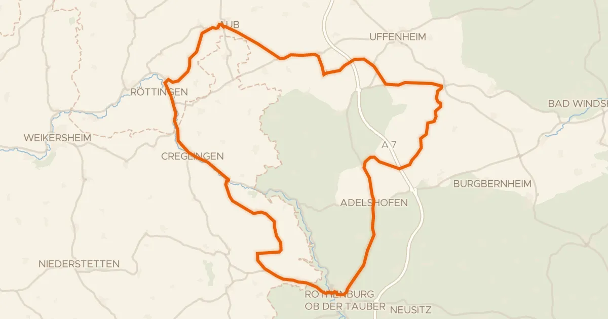
Road bike100% paved
Rondje langs de Tauber en Schloss Aub
75 km↑ 668 m23 km away
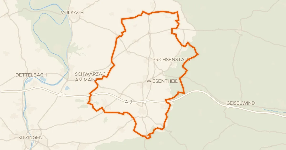
Gravel34% paved
Rondje Schloss Castell en Naturpark Steigerwald
63 km↑ 545 m25 km away