Back to the librarykm 4 · May 2019 · © zoegglmeyr / Mapillary, CC BY-SA km 29 · Oct 2019 · © zoegglmeyr / Mapillary, CC BY-SA km 39 · Oct 2021 · © zoegglmeyr1 / Mapillary, CC BY-SA km 56 · Aug 2019 · © zoegglmeyr / Mapillary, CC BY-SA km 27–28km 39–40km 41–44
GravelRouteCasterRound trip
Rondje Zeubelrieder Moor en Main
Distance
65 km
Ascent
713 m
Highest point
385 m
50% paved
Start from your location
Ride there from home: we find the shortest way to the loop and start the loop from there.
The ride
Roll out of Kist and let the ride unfold: 65.2 km with 713 m of climbing, half on paved roads and half on unpaved tracks. You pass the Marsberg-Wachtelberg nature reserve, then the Zeubelrieder Moor, before the Maintalhang Kleinochsenfurter Berg nature reserve. After the Main river, the route turns back toward Kist.
Along the way
Climbs
Climb 1Hill
1.3 km at 4.4% · max 10.7%
Climb 2Hill
0.9 km at 5.4% · max 19.9%
Climb 3Cat. 4
3.5 km at 3.6% · max 24.7%
Routes nearby
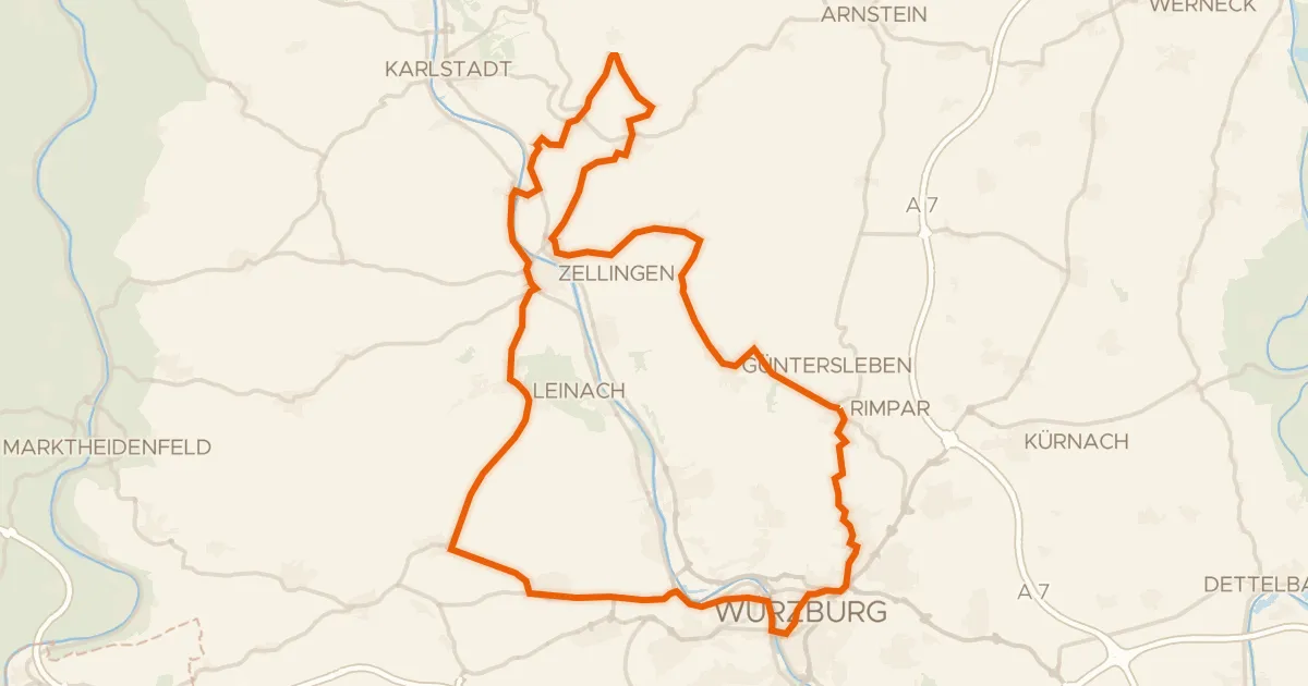
Road bike100% paved
Rondje Residenz Würzburg en Schloss Thüngen
75 km↑ 1,047 m15 km away
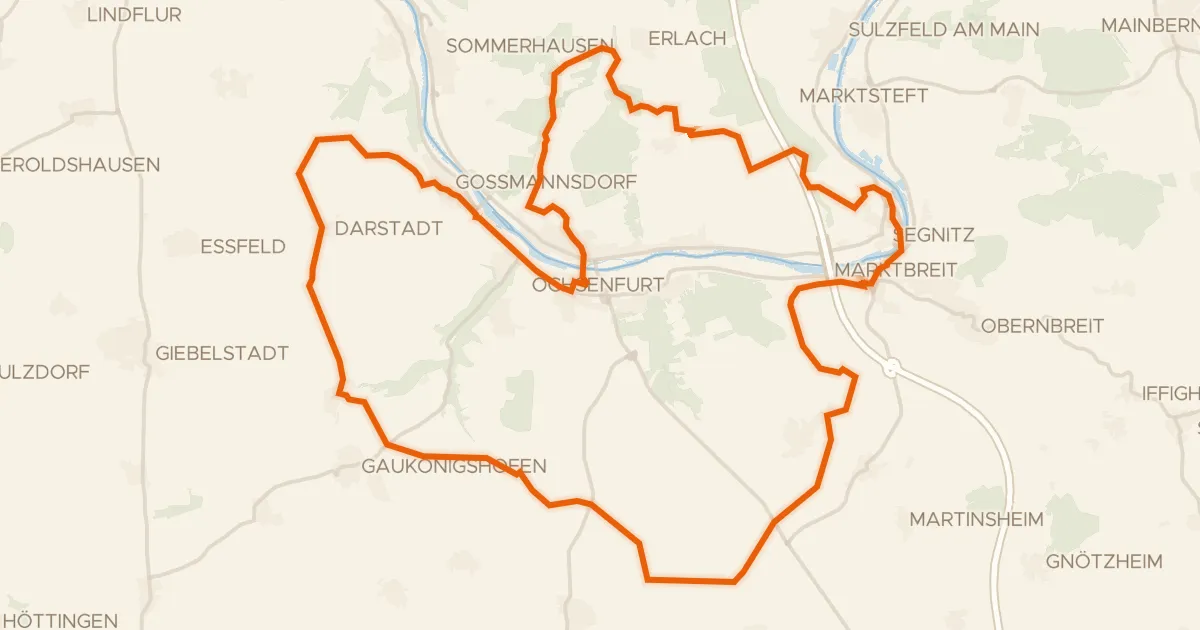
Gravel58% paved
Rondje Schloss Marktbreit en Zeubelrieder Moor
54 km↑ 626 m19 km away
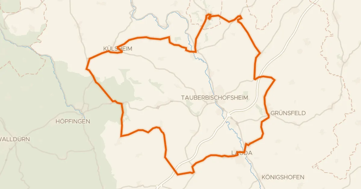
Road bike100% paved
Rondje Burgruine Schweinberg en Schloss Külsheim
75 km↑ 1,039 m21 km away
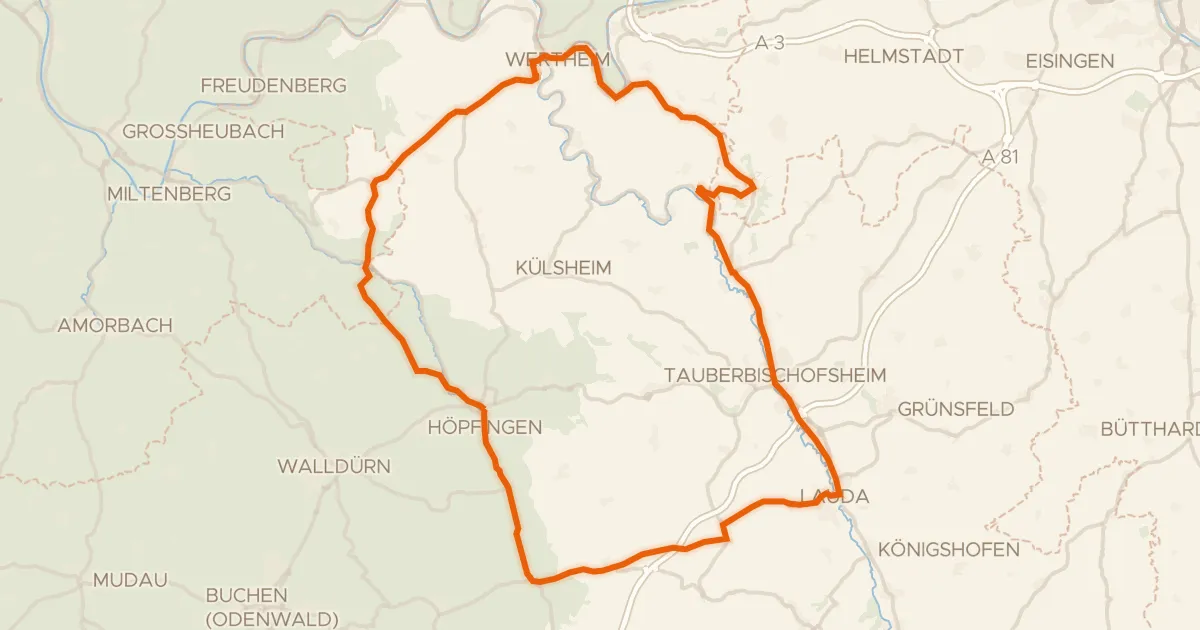
Road bike98% paved
Rondje Burg Wertheim en Naturpark Spessart
92 km↑ 1,211 m23 km away
Road bike99% paved
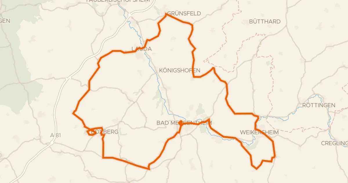
Rondje Tauber en Burgruine Boxberg
96 km↑ 1,282 m25 km away
Road bike100% paved
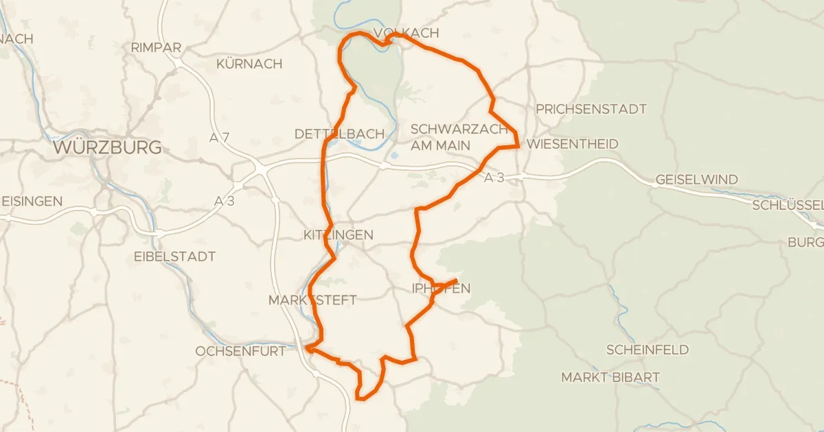
Rondje Schloss Crailsheim en Schloss Marktbreit
83 km↑ 620 m29 km away