Back to the librarykm 14 · Oct 2024 · © soulcover / Mapillary, CC BY-SA km 42 · May 2025 · © tim3003 / Mapillary, CC BY-SA km 54 · Mar 2019 · © zoegglmeyr / Mapillary, CC BY-SA km 86 · Jul 2020 · © changchun1 / Mapillary, CC BY-SA km 19–22km 31–33km 65–66km 68–69
Road bikeRouteCasterRound trip
Rondje Tauber en Burgruine Boxberg
Distance
96 km
Ascent
1,282 m
Highest point
398 m
99% paved
Start from your location
Ride there from home: we find the shortest way to the loop and start the loop from there.
The ride
Roll out of Bad Mergentheim and the castles start early: Burgruine Boxberg, then Burg Oberlauda, before the Tauber joins the ride. Schloss Grünsfeld and Schloss Messelhausen follow, and between Weikersheim and Elpersheim the Steinriegellandschaft nature reserve lines the way. With 96.3 km and just 1% unpaved, it's a loop that returns you to where you began.
Along the way
Climbs
Climb 1Cat. 4
2.6 km at 3.5% · max 17.4%
Climb 2Cat. 4
2 km at 4.9% · max 9.1%
Climb 3Hill
1.2 km at 4.8% · max 9.4%
Climb 4Hill
1.6 km at 3.4% · max 10.1%
Routes nearby
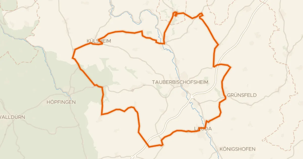
Road bike100% paved
Rondje Burgruine Schweinberg en Schloss Külsheim
75 km↑ 1,039 m19 km away
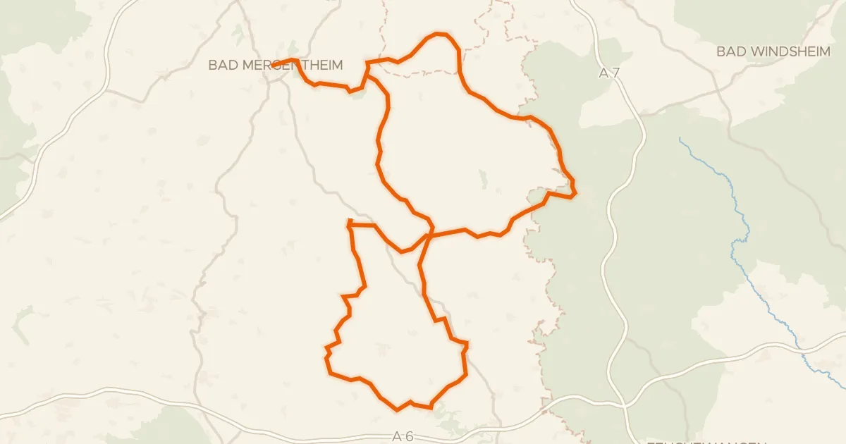
Touring92% paved
Hohenloher Residenzenweg
158 km↑ 1,624 m21 km away
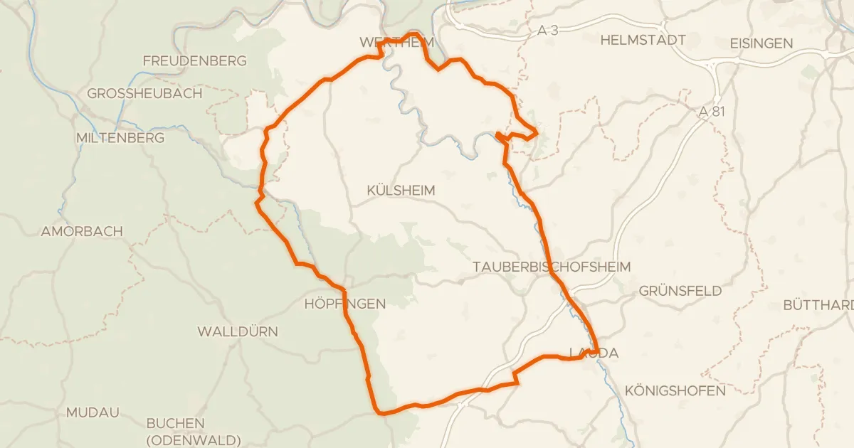
Road bike98% paved
Rondje Burg Wertheim en Naturpark Spessart
92 km↑ 1,211 m24 km away
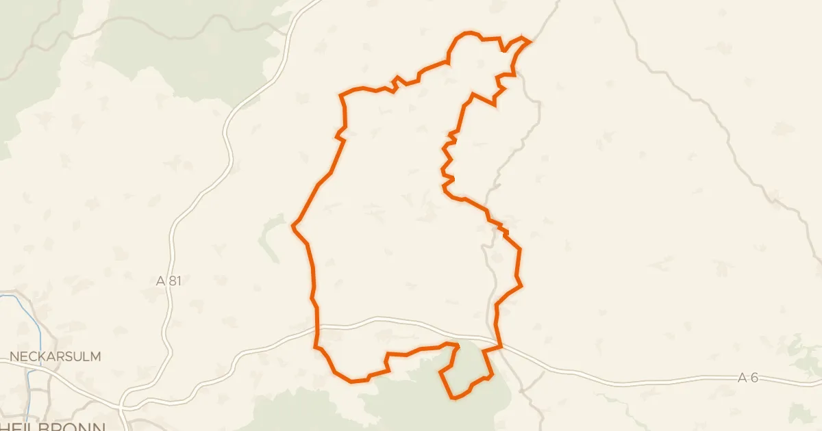
Touring90% paved
Buckelestour
119 km↑ 2,194 m26 km away
Road bike97% paved
Rondje Kocher en Jagst
75 km↑ 1,112 m26 km away
Gravel44% paved
Rondje Schloss Hohlach en Naturpark Frankenhöhe
59 km↑ 495 m26 km away