Back to the librarykm 5 · Feb 2021 · © changchun1 / Mapillary, CC BY-SA km 23 · Oct 2020 · © changchun1 / Mapillary, CC BY-SA km 67 · Sep 2026 · © joachim_mueller / Mapillary, CC BY-SA km 4–5km 17–19km 43–47km 59–60km 67–69km 74–75
Road bikeRouteCasterRound trip
Rondje Kocher en Jagst
Distance
75 km
Ascent
1,112 m
Highest point
497 m
97% paved
Start from your location
Ride there from home: we find the shortest way to the loop and start the loop from there.
The ride
Roll out of Kirchberg an der Jagst and follow the Jagst river before climbing to Burg Leofels. Onward past Schloss Braunsbach and Burg Bachenstein, then down to the Kocher and around the Hochwasserrückhaltebecken Beimbach lake. The Brettach river and Ruine Sulz castle lead you back to where you started, 74.6 km and 1112 m of climbing later.
Along the way
Climbs
Climb 1Hill
0.9 km at 6.6% · max 10%
Climb 2Cat. 3
2.1 km at 9.4% · max 39.3%
Climb 3Cat. 3
3.9 km at 4.4% · max 14.9%
Climb 4Hill
0.9 km at 3.6% · max 6.1%
Climb 5Hill
1.5 km at 4.4% · max 10.1%
Climb 6Hill
0.4 km at 8.3% · max 13.7%
Routes nearby
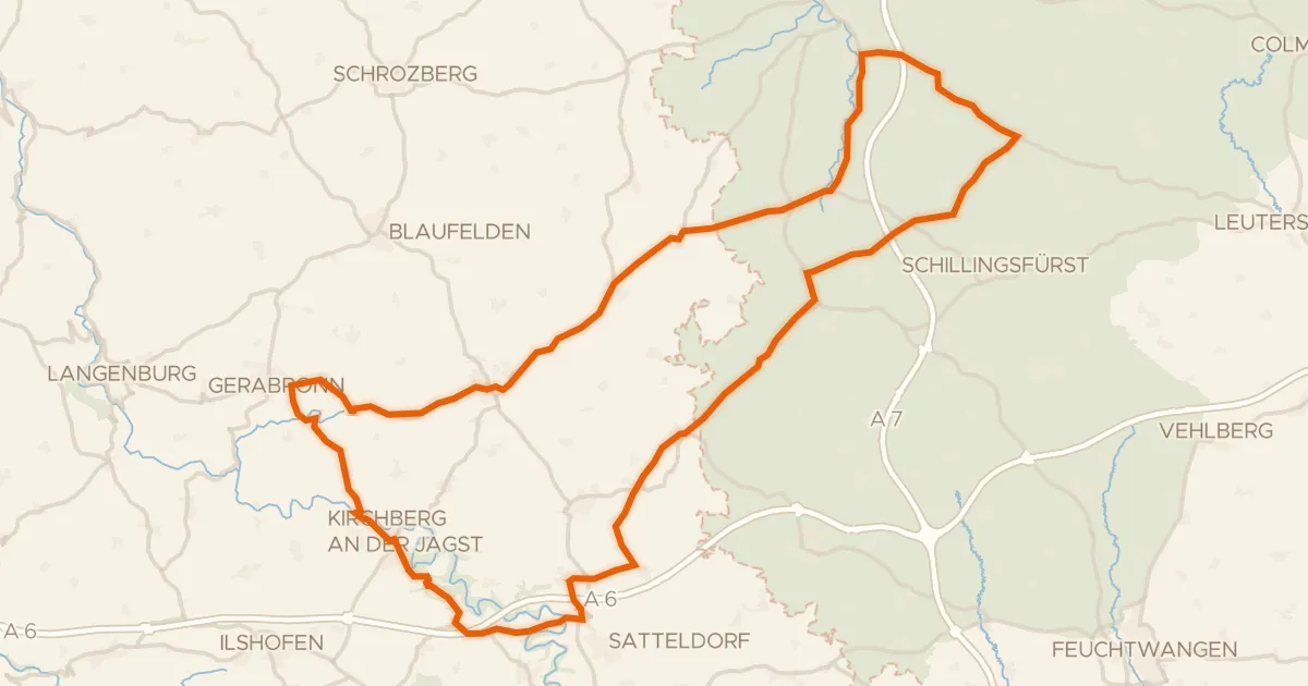
Road bike97% paved
Rondje Burg Werdeck en Burg Lobenhausen
83 km↑ 889 m11 km away
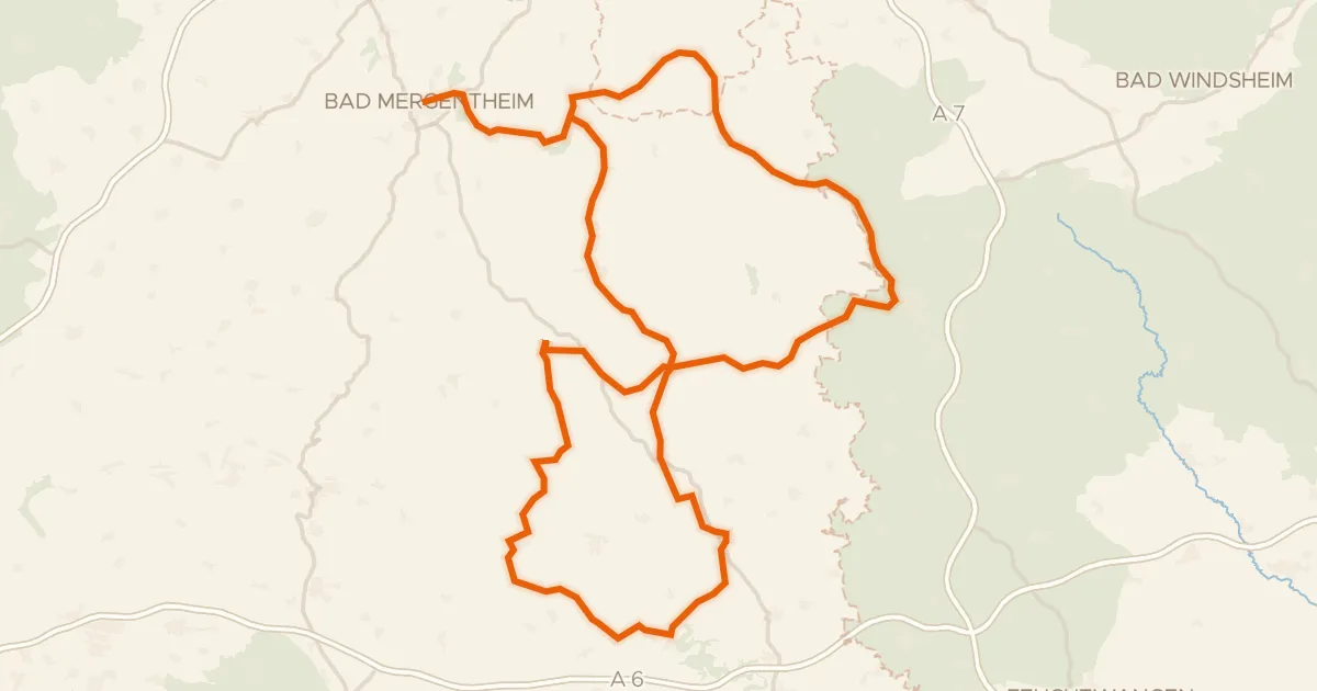
Touring92% paved
Hohenloher Residenzenweg
158 km↑ 1,624 m17 km away
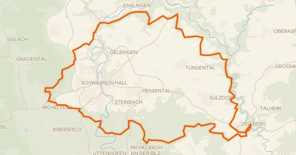
Gravel35% paved
Rondje Geyersburg en Burg Hohenstein
61 km↑ 972 m18 km away
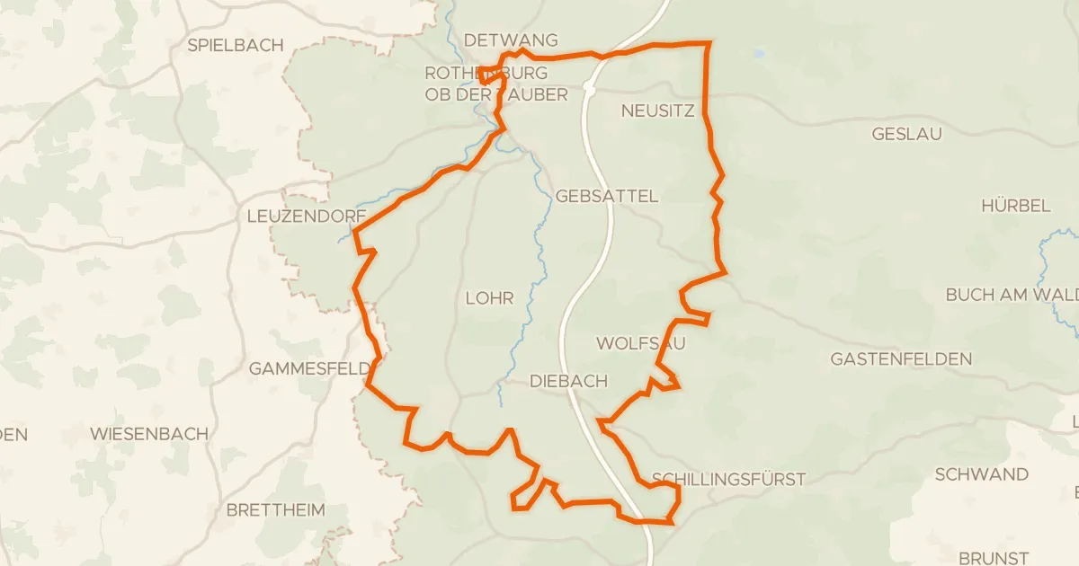
Gravel26% paved
Rondje Karrachsee en Tauber
60 km↑ 660 m21 km away
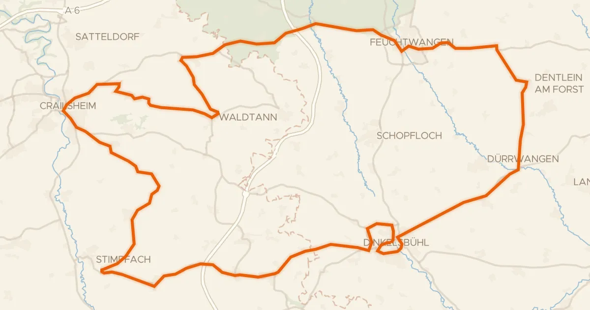
Road bike95% paved
Rondje langs de Jagst en Naturpark Frankenhöhe
92 km↑ 1,148 m22 km away
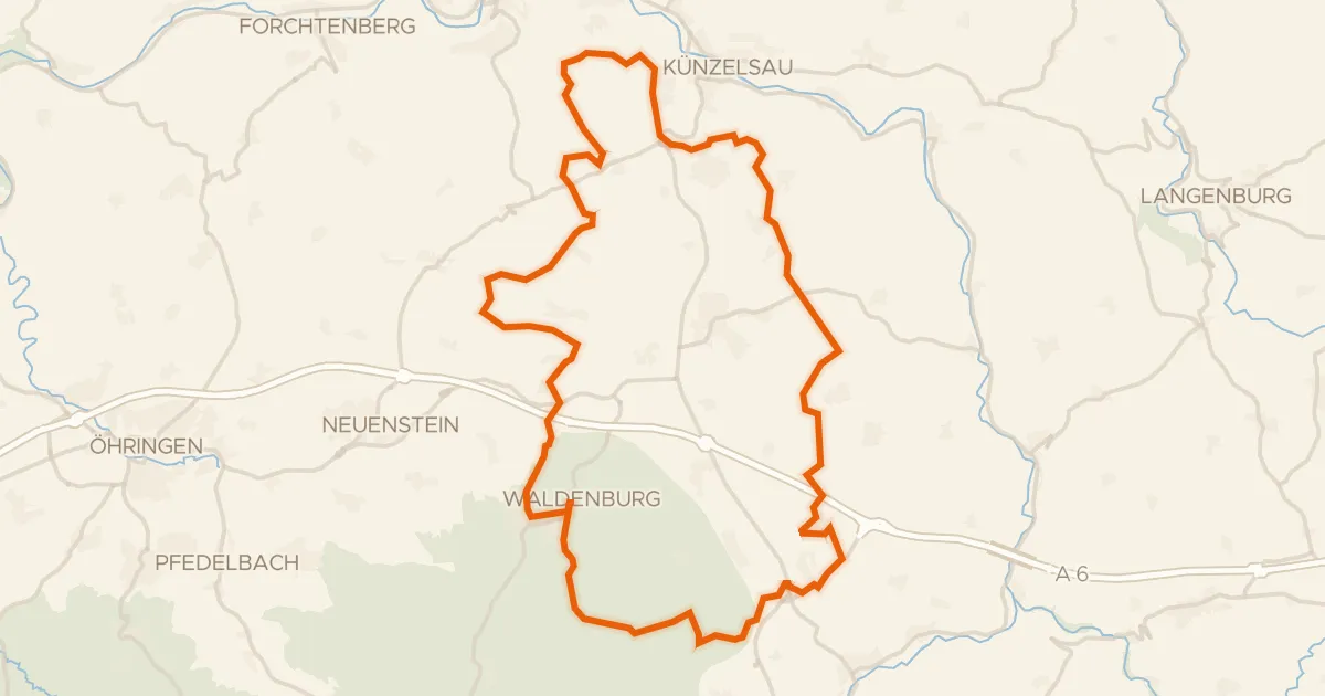
Gravel50% paved
Rondje Naturpark Schwäbisch-Fränkischer Wald en Neumühlsee
58 km↑ 714 m23 km away