Back to the librarykm 47 · Oct 2020 · © changchun1 / Mapillary, CC BY-SA km 3–4km 30–31km 44–45km 50–51km 53–58
GravelRouteCasterRound trip
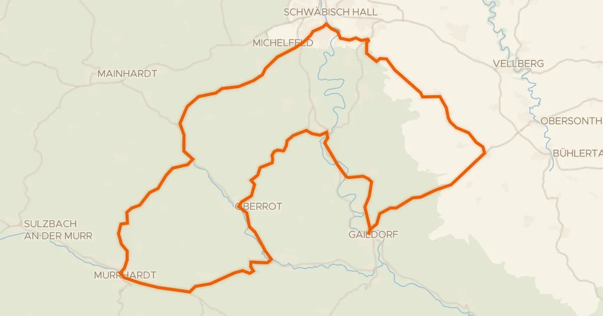
Rondje Naturpark Schwäbisch-Fränkischer Wald en Neumühlsee
Distance
58 km
Ascent
714 m
Highest point
513 m
50% paved
Start from your location
Ride there from home: we find the shortest way to the loop and start the loop from there.
The ride
Roll out of Waldenburg and let the ride unfold: 58.1 km with 714 m of climbing, half on paved roads and half on unpaved tracks. You pass the Neumühlsee lake before heading into the Naturpark Schwäbisch-Fränkischer Wald nature reserve. Then it's back through the countryside to Waldenburg, where the loop closes.
Along the way
Climbs
Climb 1Hill
1.5 km at 4.6% · max 12%
Climb 2Hill
0.6 km at 5.5% · max 10.9%
Climb 3Hill
1 km at 3.2% · max 11.4%
Climb 4Hill
0.8 km at 3.3% · max 7.3%
Climb 5Cat. 3
5.2 km at 3.1% · max 18.4%
Routes nearby
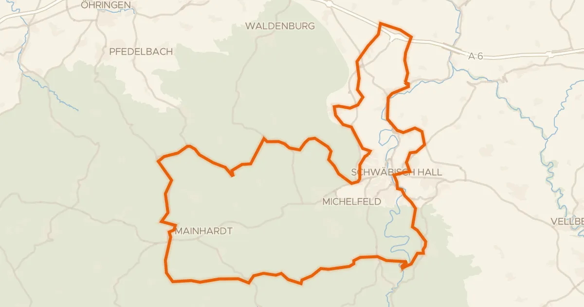
Road bike95% paved
Hohenloher Landheg Tour
87 km↑ 1,347 m7 km away
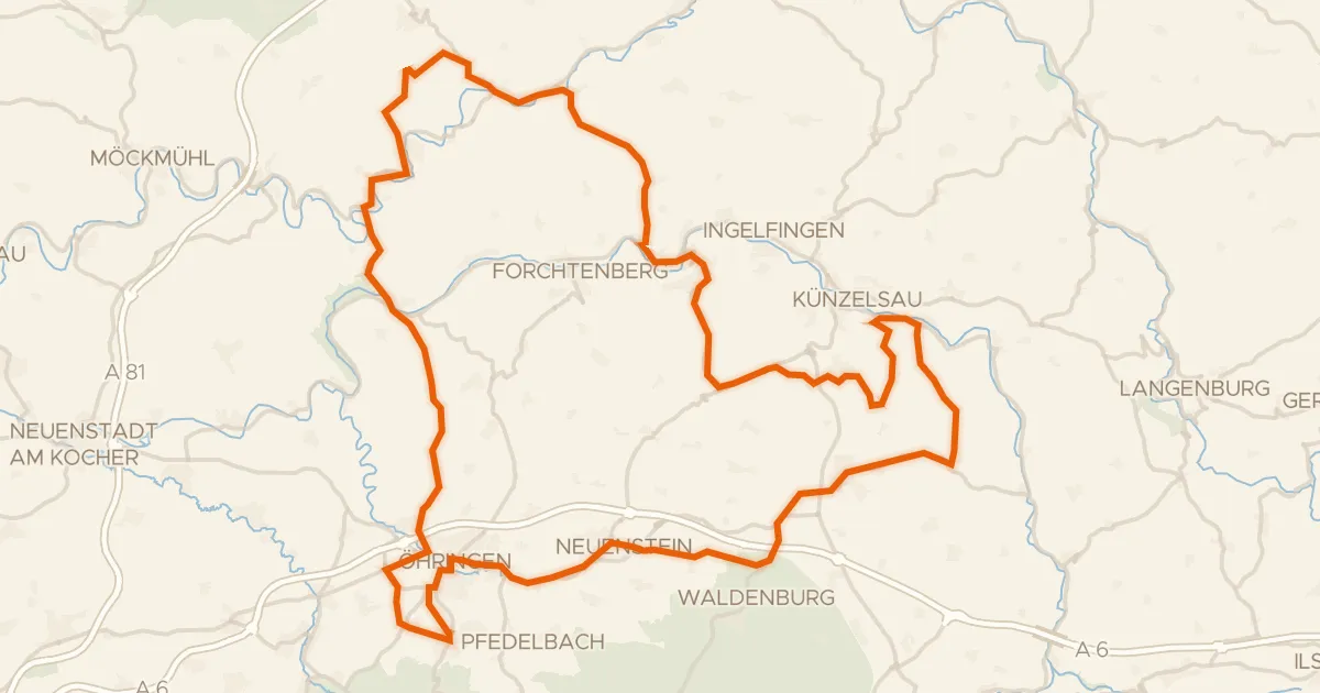
Road bike99% paved
Rondje Burgstall Heidenschlössle en Wasserschloss Bieringen
95 km↑ 1,432 m9 km away
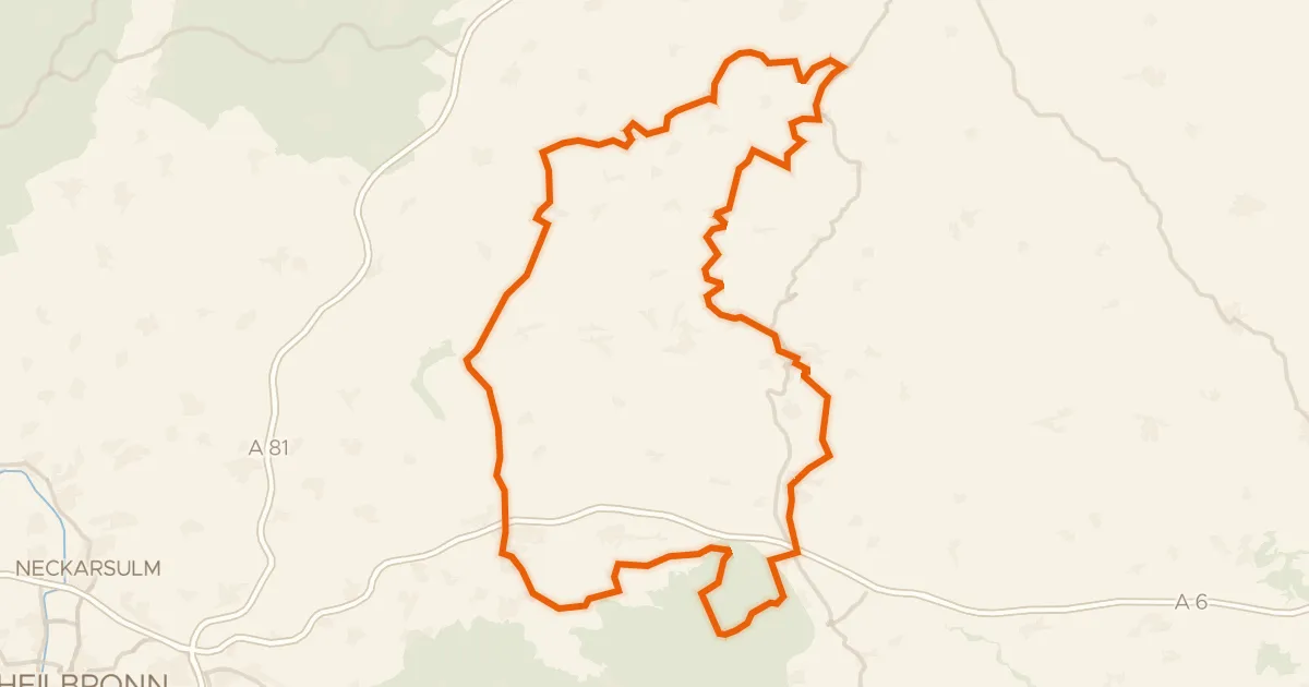
Touring90% paved
Buckelestour
119 km↑ 2,194 m11 km away
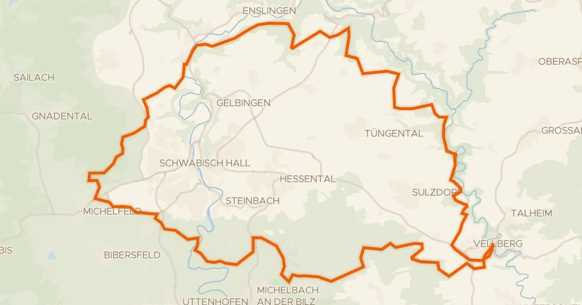
Gravel35% paved
Rondje Geyersburg en Burg Hohenstein
61 km↑ 972 m13 km away
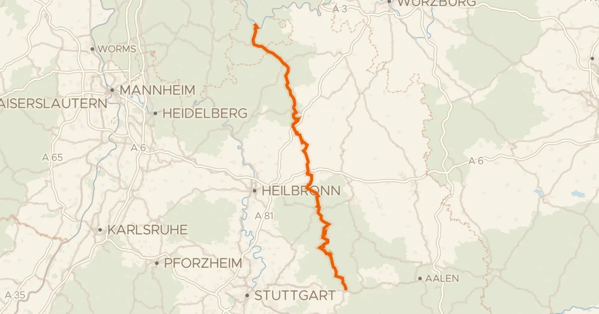
Touring88% paved
Deutscher Limes-Radweg 4. Abschnitt Miltenberg - Lorch
165 km↑ 2,688 m16 km away
Road bike100% paved
Rondje Burg Vohenstein en Großcomburg
76 km↑ 1,136 m18 km away