Back to the librarykm 5 · Mar 2025 · © soulcover / Mapillary, CC BY-SA km 34 · Jul 2026 · © soulcover / Mapillary, CC BY-SA km 56 · Apr 2025 · © bct / Mapillary, CC BY-SA km 72 · Jul 2026 · © soulcover / Mapillary, CC BY-SA km 0–3km 22–24km 28–31km 36–40
Road bikeRouteCasterRound trip
Rondje Burg Vohenstein en Großcomburg
Distance
76 km
Ascent
1,136 m
Highest point
531 m
100% paved
Start from your location
Ride there from home: we find the shortest way to the loop and start the loop from there.
The ride
Roll out of Gaildorf and past the Altes Schloss before the Bentincksches Schloss, then into the Naturpark Schwäbisch-Fränkischer Wald. Großcomburg castle and the Murr river follow, then the Gaab nature reserve and Burg Vohenstein. The route ends through the Kochertal nature reserve, back to Gaildorf: 76.4 km, all paved.
Along the way
Climbs
Climb 1Cat. 3
2.9 km at 6.5% · max 13.6%
Climb 2Cat. 4
2.2 km at 4.5% · max 17.3%
Climb 3Cat. 4
2.7 km at 3.1% · max 11.1%
Climb 4Cat. 4
3.3 km at 4.7% · max 21.5%
Routes nearby
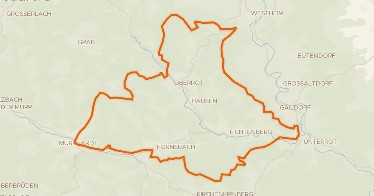
Gravel19% paved
Rondje Burg Rötenberg en Kernerturm
59 km↑ 1,328 m7 km away
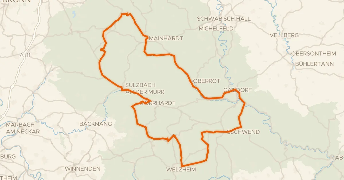
Touring92% paved
Radtour Idyllische Straße
117 km↑ 1,742 m11 km away
Kirgelsattel
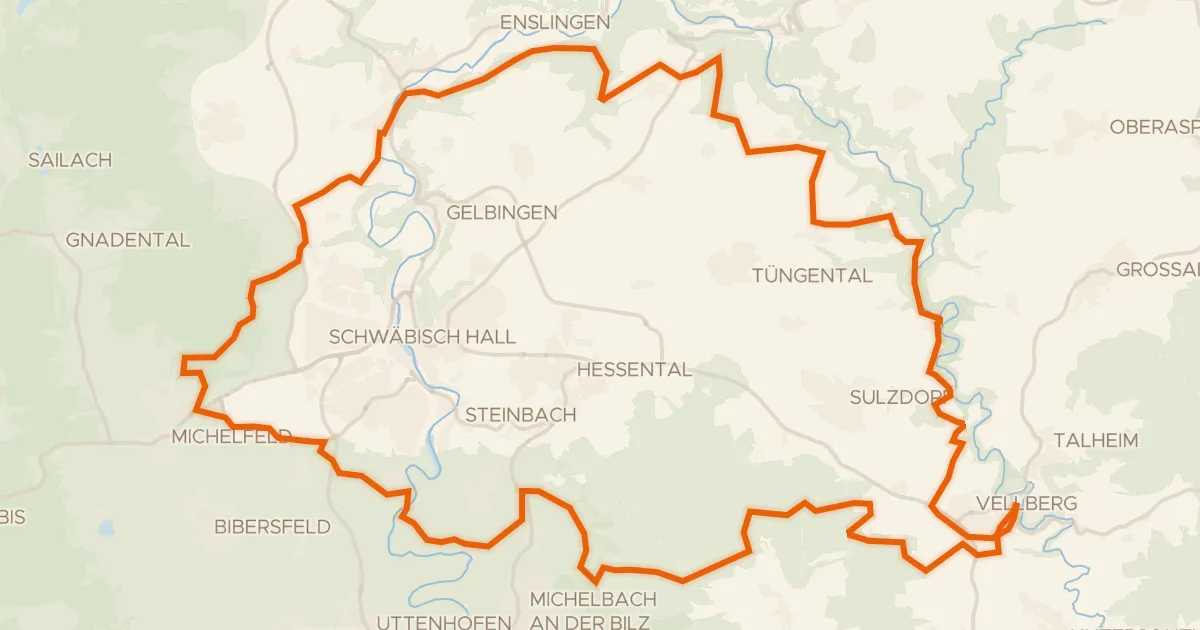
Gravel35% paved
Rondje Geyersburg en Burg Hohenstein
61 km↑ 972 m13 km away
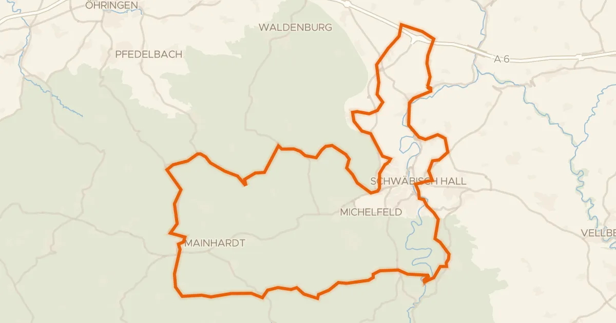
Road bike95% paved
Hohenloher Landheg Tour
87 km↑ 1,347 m16 km away
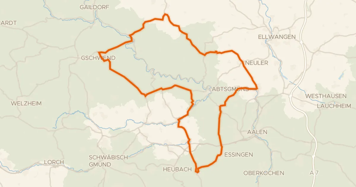
Road bike99% paved
Rondje langs de Kocher en Lein
89 km↑ 1,170 m18 km away
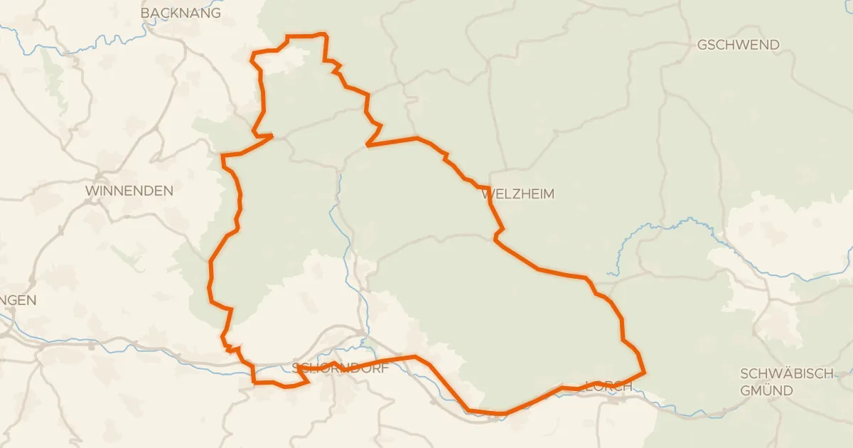
Road bike98% paved
Rondje Burgschloss en Lorcher Baggerseen
75 km↑ 1,055 m20 km away