Back to the librarykm 56 · Feb 2020 · © pic_nick / Mapillary, CC BY-SA km 0–4km 4–5km 7–8km 13–15km 16–19km 23–23km 24–29km 35–35km 43–43km 48–50km 56–56
GravelRouteCasterRound trip
Rondje Burg Rötenberg en Kernerturm
Distance
59 km
Ascent
1,328 m
Highest point
532 m
19% paved
Start from your location
Ride there from home: we find the shortest way to the loop and start the loop from there.
The ride
From Murrhardt out along the Murr, past the watermill at Rümelinsmühle and up to the Kernerturm viewpoint. Then the Kocher and Rot rivers lead you to Burg Rötenberg and Burg Staufenberg, two castles on the way. The route runs 59.4 km, mostly unpaved, and finishes back in Murrhardt.
Along the way
Climbs
Climb 1Cat. 4
3.6 km at 4.1% · max 18.5%
Climb 2Hill
0.9 km at 8.1% · max 18.4%
Climb 3Cat. 4
1.6 km at 6.8% · max 17.9%
Climb 4Cat. 4
1.7 km at 6.2% · max 33.7%
Climb 5Cat. 4
3 km at 4.4% · max 15.2%
Climb 6Hill
0.4 km at 7.3% · max 15.7%
Climb 7Cat. 3
4.7 km at 4.1% · max 12.1%
Climb 8Hill
0.7 km at 6.5% · max 8.8%
Climb 9Hill
0.7 km at 6.5% · max 10.9%
Climb 10Hill
1.9 km at 3.3% · max 11.5%
Climb 11Hill
0.9 km at 4.6% · max 16.6%
Routes nearby
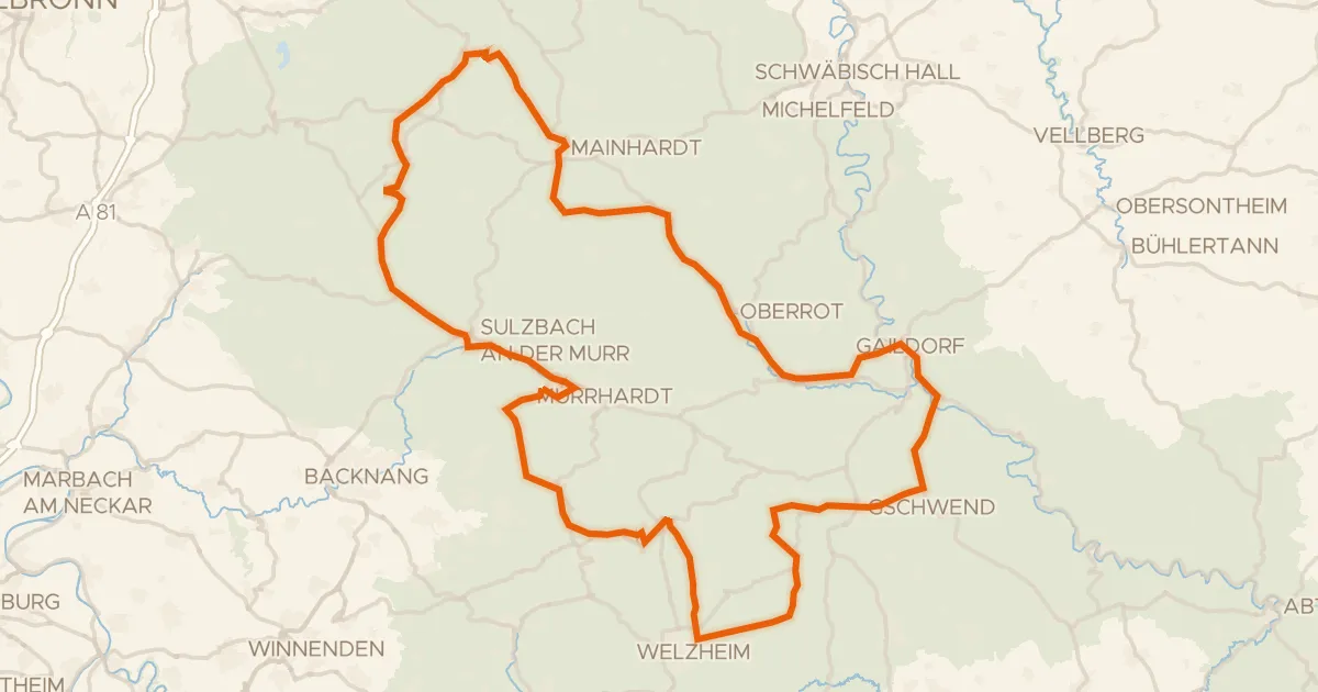
Touring92% paved
Radtour Idyllische Straße
117 km↑ 1,742 m4 km away
Kirgelsattel
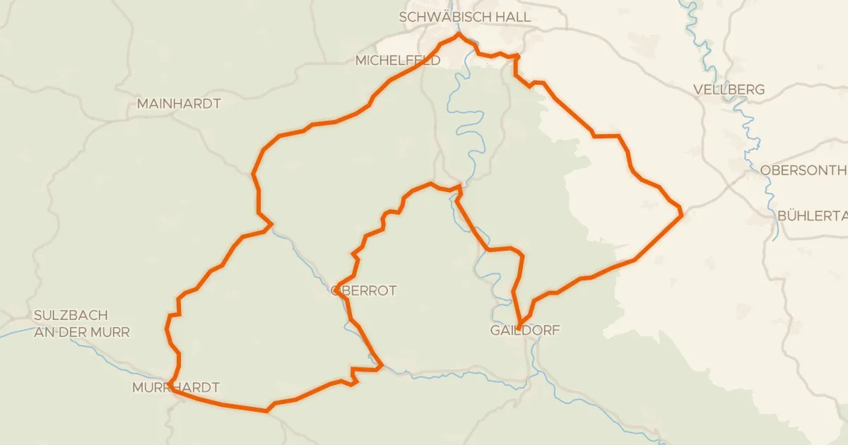
Road bike100% paved
Rondje Burg Vohenstein en Großcomburg
76 km↑ 1,136 m12 km away
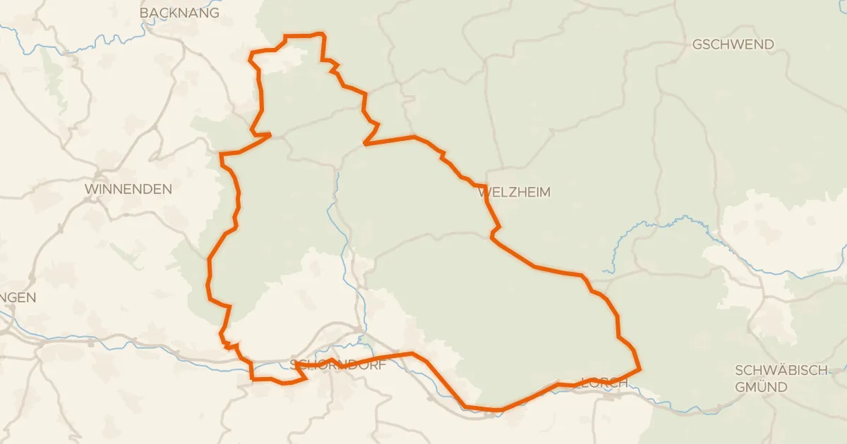
Road bike98% paved
Rondje Burgschloss en Lorcher Baggerseen
75 km↑ 1,055 m13 km away
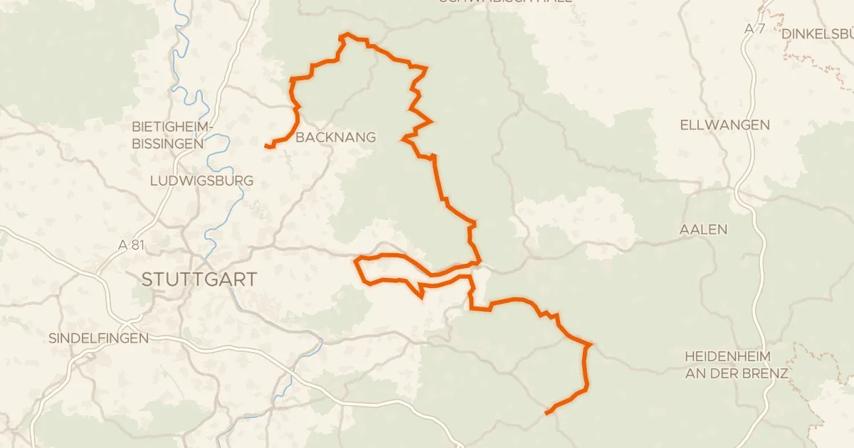
Touring85% paved
E-Bike-Region Stuttgart (Nordost)
184 km↑ 2,826 m15 km away
Road bike95% paved
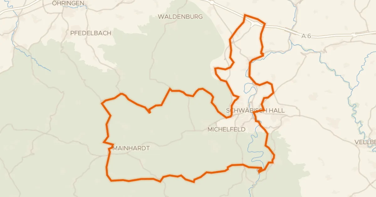
Hohenloher Landheg Tour
87 km↑ 1,347 m17 km away
Road bike99% paved
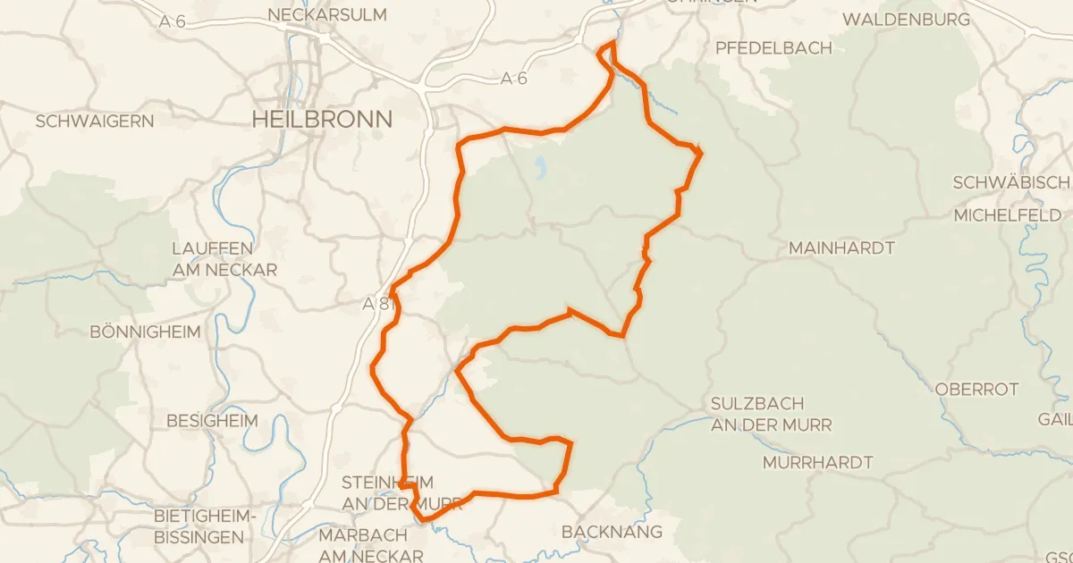
Rondje Burgruine Steinheim en Schloss Eschenau
91 km↑ 1,264 m17 km away