Back to the librarykm 0–1km 2–7km 10–10km 11–13km 14–15km 15–16km 18–18km 18–21km 33–42km 44–45km 50–52km 52–53km 54–56km 57–57
GravelMade by RouteCasterRound trip
Rondje Sarnersee en Engelberger Aa
Distance
62 km
Ascent
3,328 m
Highest point
1,760 m
25% paved
Start from your location
Ride there from home: we find the shortest way to the loop and start the loop from there.
The ride
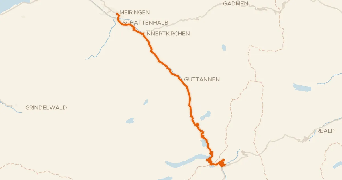
From Sachseln you roll out toward the Sarnersee lake, then follow the Engelberger Aa river before the Grosse Melchaa takes over. Of the 61.7 km, most run unpaved, and the climbing adds up to 3328 m along the way. The route loops back to Sachseln, where it all began.
Climbs
Climb 1Hill
1.3 km at 5.4% · max 13.1%
Climb 2Cat. 3
4.7 km at 5.2% · max 22.3%
Climb 3Hill
0.8 km at 3.6% · max 11%
Climb 4Cat. 4
1.9 km at 6.9% · max 15.5%
Climb 5Cat. 4
1 km at 11.1% · max 23.7%
Climb 6Cat. 4
1.5 km at 8.6% · max 14.3%
Climb 7Hill
0.6 km at 8.1% · max 20.1%
Climb 8Cat. 2
2.8 km at 14.1% · max 48%
Climb 9HC
9.8 km at 12.1% · max 52.2%
StoreggpassCat. 4
1 km at 10.2% · max 36.7%
Climb 11Cat. 4
1.8 km at 6.6% · max 32.4%
Climb 12Hill
0.4 km at 8.3% · max 22.9%
Climb 13Cat. 3
1.4 km at 21.1% · max 40.9%
Climb 14Hill
0.5 km at 10.2% · max 24.7%
Routes nearby
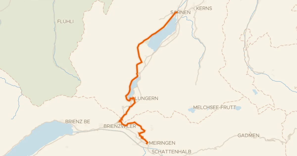
Touring90% paved
Seen-Route
32 km↑ 958 m7 km away
Brünigpass
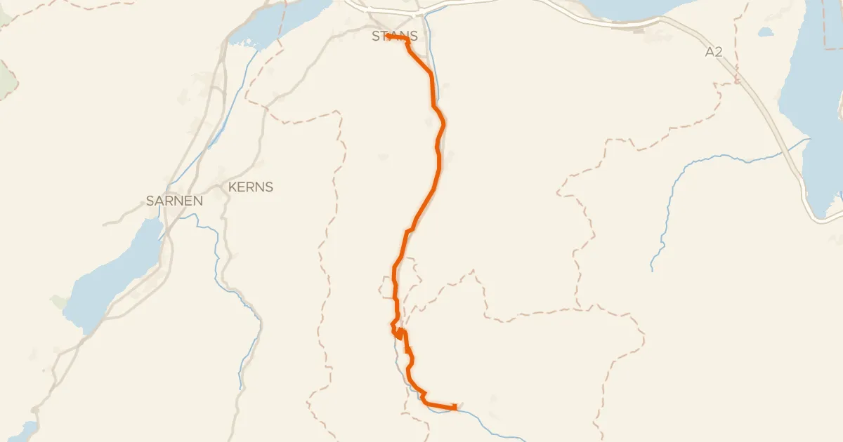
Touring84% paved
Unterwaldenroute
22 km↑ 670 m11 km away
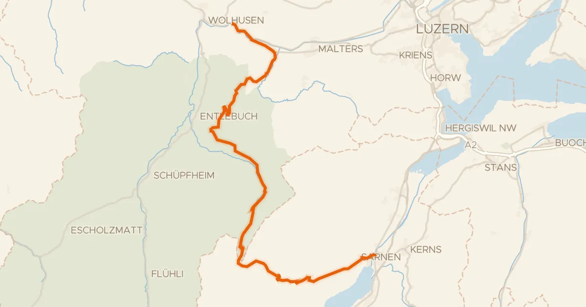
Road bike96% paved
Wiggertal–Glaubenberg
45 km↑ 1,428 m12 km away
Glaubenbergpass
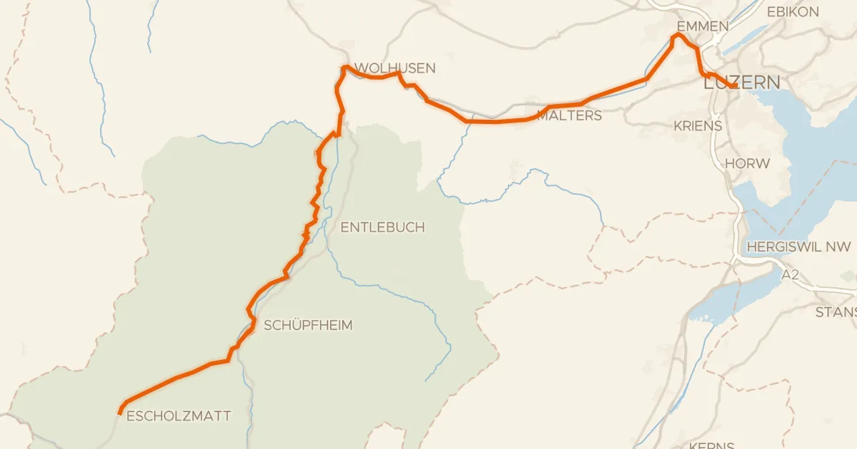
Road bike96% paved
Emmental–Entlebuch
48 km↑ 455 m16 km away

Gravel45% paved
Rondje UNESCO Biosphäre Entlebuch en Kleine Emme
59 km↑ 2,211 m20 km away
Road bike99% paved
Aare-Route
39 km↑ 1,023 m25 km away
Grimselpass