Back to the librarykm 0–1km 1–7km 11–12
Touring
Seen-Route
Distance
32 km
Ascent
958 m
Highest point
1,078 m
90% paved
The ride
32.4 km with 958 m of climbing, and the Brünigpass along the way. Most of the route is paved at 90%, with the remaining 10% unpaved. It's a mix that keeps things interesting from start to finish. Come ride it and see what the Brünigpass adds to your day.
Passes
Brünigpass
Climbs
Climb 1Hill
0.5 km at 5.4% · max 12%
Climb 2Cat. 2
6.7 km at 7% · max 26.6%
Climb 3Hill
0.8 km at 3.7% · max 8.5%
Routes nearby
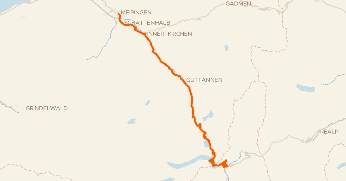
Road bike99% paved
Aare-Route
39 km↑ 1,023 m11 km away
Grimselpass
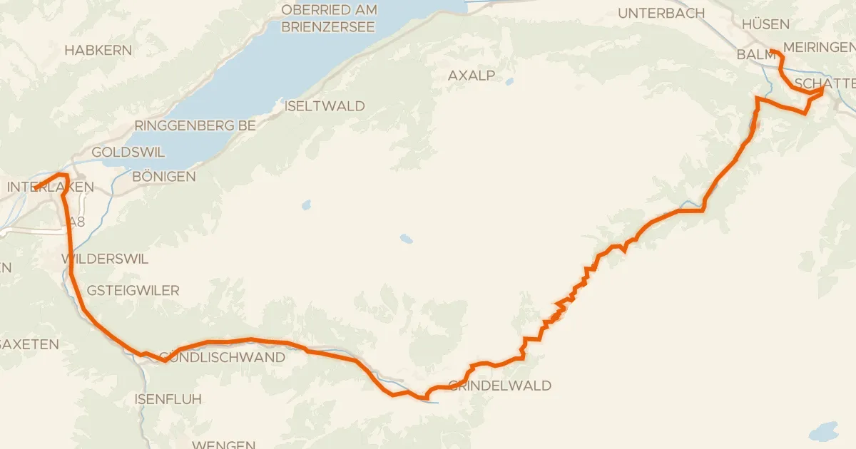
Road bike95% paved
Berner Oberland-Route
52 km↑ 1,839 m13 km away
Grosse Scheidegg
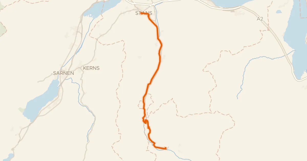
Touring84% paved
Unterwaldenroute
22 km↑ 670 m23 km away
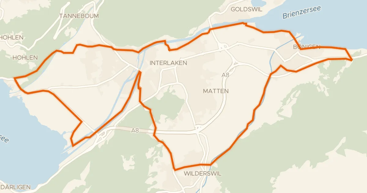
Touring70% paved
Bödeli-Route
23 km↑ 337 m25 km away
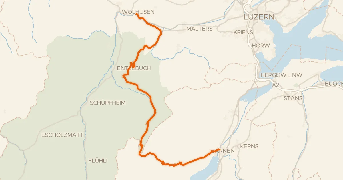
Road bike96% paved
Wiggertal–Glaubenberg
45 km↑ 1,428 m27 km away
Glaubenbergpass
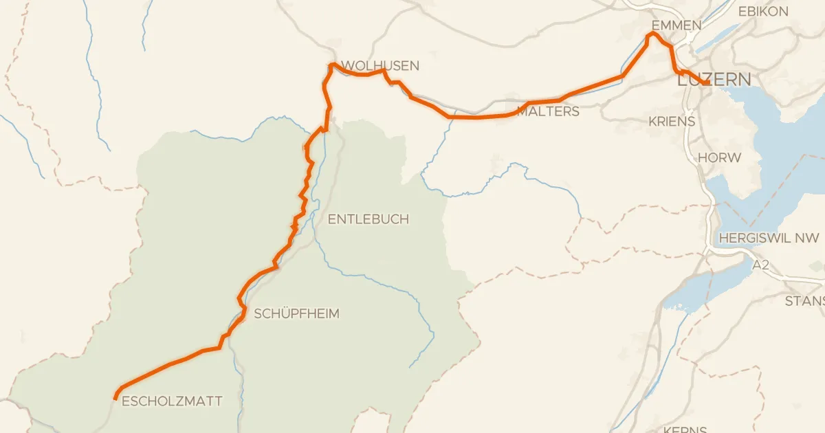
Road bike96% paved
Emmental–Entlebuch
48 km↑ 455 m30 km away