Back to the librarykm 0–5km 16–16km 34–35km 35–36
Road bike
Aare-Route
Distance
39 km
Ascent
1,023 m
Highest point
2,176 m
99% paved
The ride
Here's a 39.4 km ride with 1023 m of climbing, and 99% of it on paved surface. The Grimselpass sits along the way, so you've got a real destination to aim for. With 0% unpaved, you can stay in the rhythm and just keep the wheels turning. It's a steady day out with a proper climb and a pass to reach.
Passes
Grimselpass
Climbs
Climb 1Cat. 2
5.4 km at 7.6% · max 20.7%
Climb 2Hill
0.2 km at 13% · max 20.9%
Climb 3Cat. 4
1.4 km at 5.9% · max 15.9%
Climb 4Hill
0.6 km at 8.2% · max 21.8%
Routes nearby
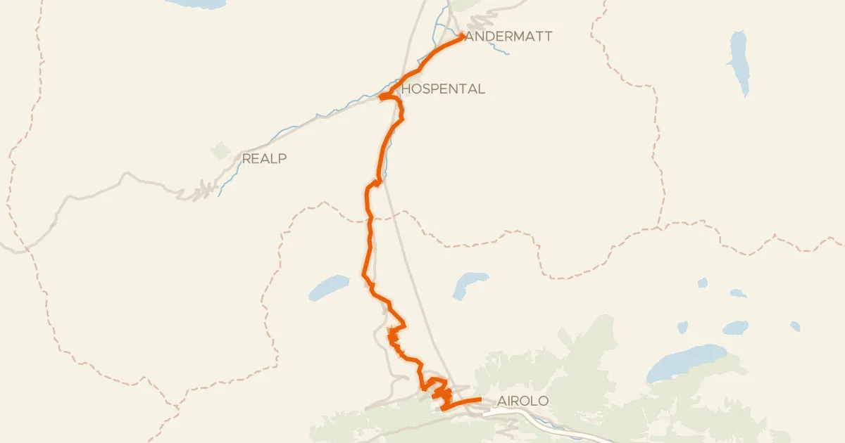
Road bike100% paved
Nord-Süd-Route
26 km↑ 867 m17 km away
Passo del San Gottardo
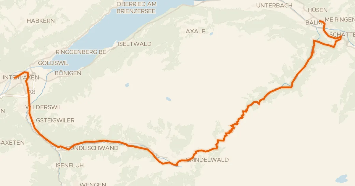
Road bike95% paved
Berner Oberland-Route
52 km↑ 1,839 m28 km away
Grosse Scheidegg
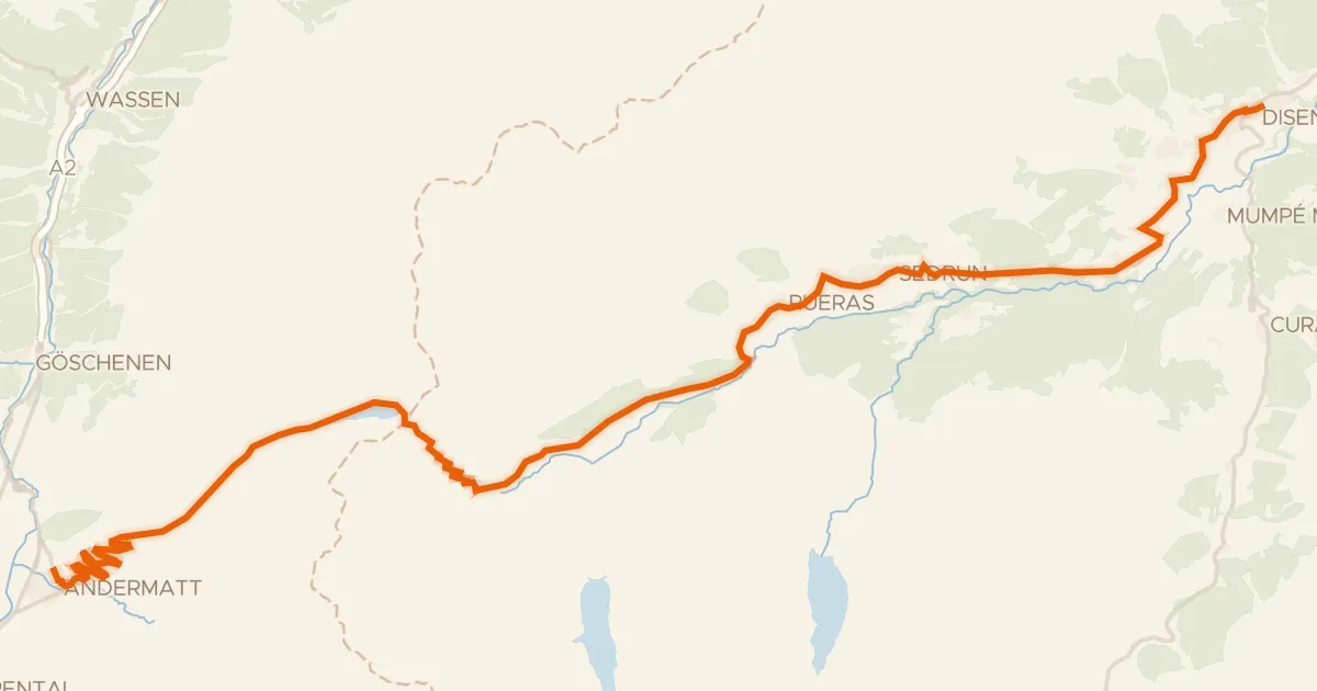
Road bike100% paved
Rhein-Route
32 km↑ 817 m30 km away
Oberalppass
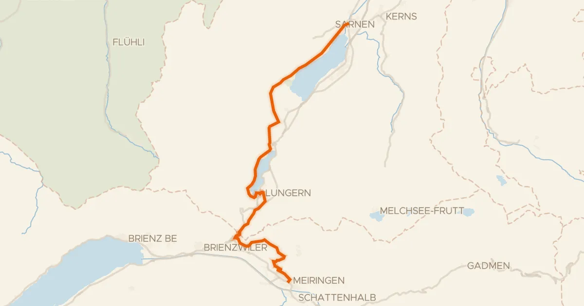
Touring90% paved
Seen-Route
32 km↑ 958 m31 km away
Brünigpass
Touring84% paved
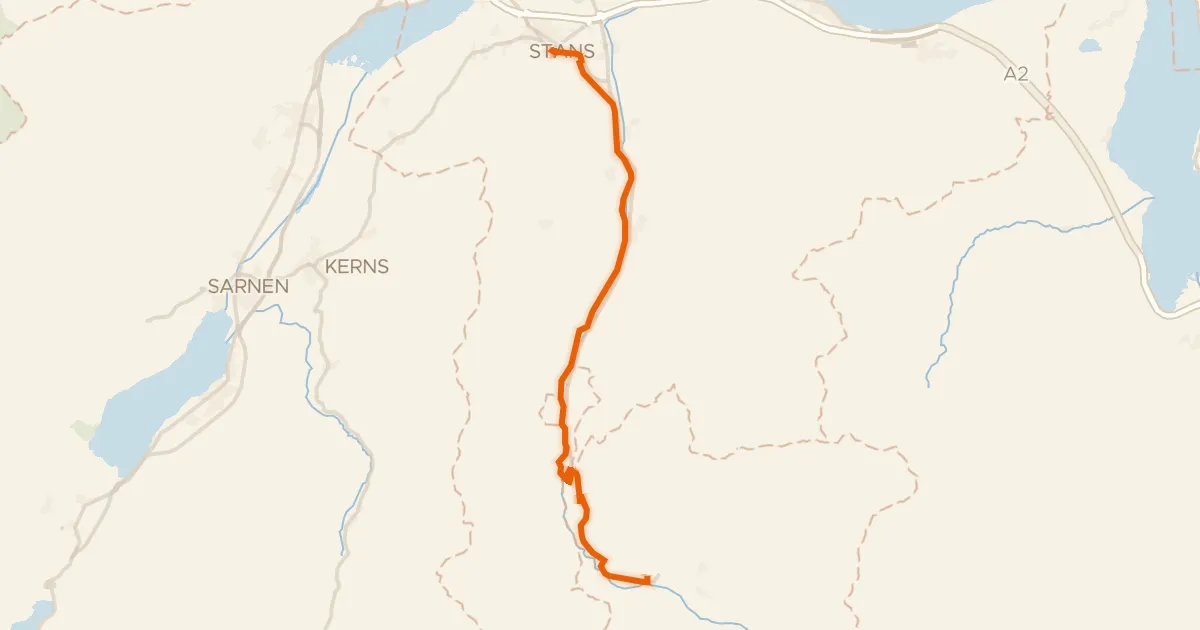
Unterwaldenroute
22 km↑ 670 m36 km away
Road bike100% paved
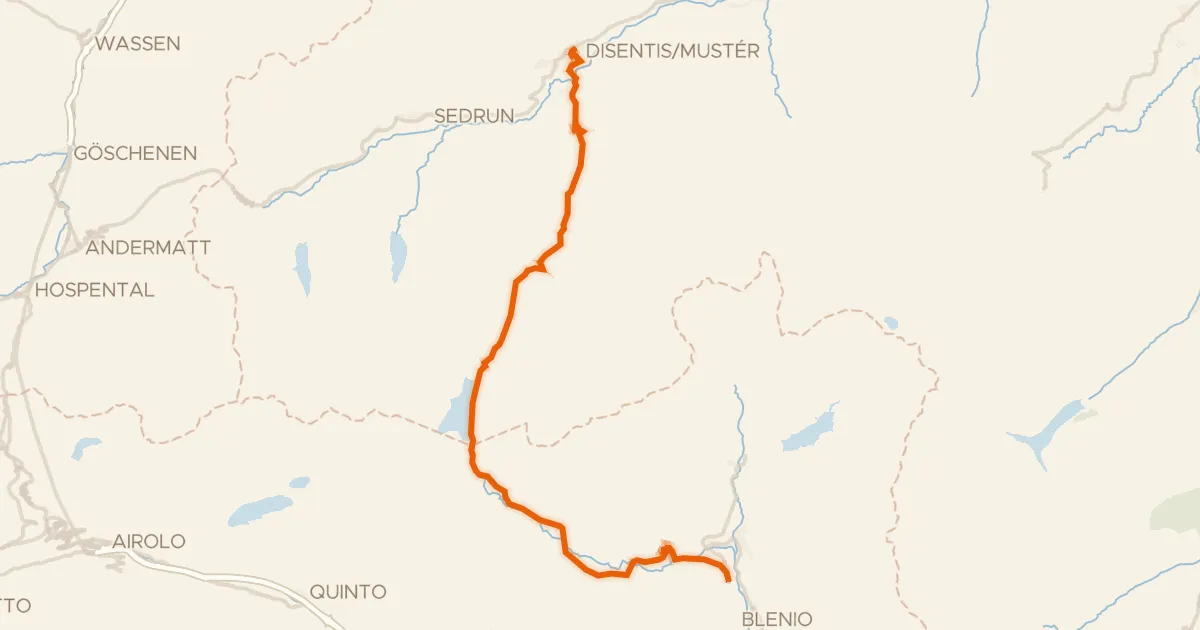
Percorso Blenio - Lucomagno
35 km↑ 1,163 m39 km away
Passo del Lucomagno · Lukmanier Passhöhe