Back to the librarykm 0–1km 2–3km 5–6km 7–7km 18–20km 21–24km 25–32km 37–39km 42–43km 47–50km 53–55
GravelMade by RouteCasterRound trip
Rondje UNESCO Biosphäre Entlebuch en Kleine Emme
Distance
59 km
Ascent
2,211 m
Highest point
1,425 m
45% paved
Start from your location
Ride there from home: we find the shortest way to the loop and start the loop from there.
The ride
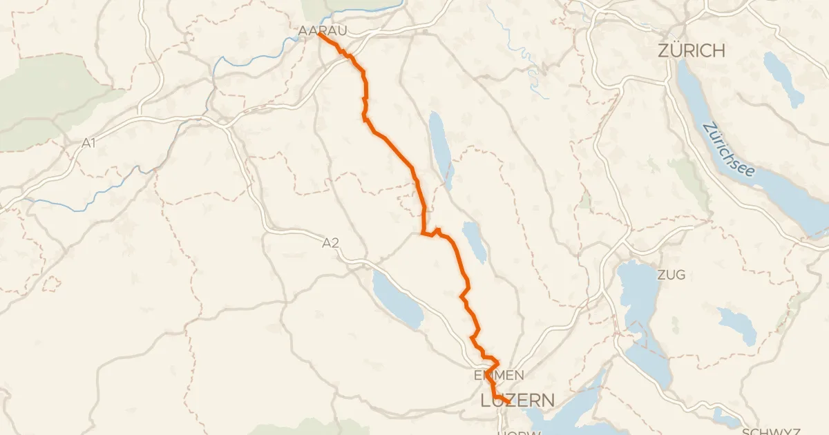
The ride rolls out of Ruswil and soon follows the Kleine Emme, a river that sets the tone for the day. Then it's into the UNESCO Biosphäre Entlebuch, a nature reserve where the climbing really adds up. With 58.6 km and a mix of paved and unpaved surface, the route keeps changing under your wheels. Back to Ruswil it goes, with the elevation still in your legs.
Climbs
Climb 1Hill
0.9 km at 3.5% · max 8.2%
Climb 2Cat. 3
1.5 km at 11.2% · max 22.5%
Climb 3Hill
1 km at 3% · max 16.4%
Climb 4Hill
0.5 km at 5.4% · max 9.2%
Climb 5Cat. 3
2.5 km at 9.2% · max 29.3%
Climb 6Cat. 3
2.3 km at 10.2% · max 22%
RiseteneggCat. 1
7.3 km at 9.2% · max 24.9%
Climb 8Cat. 3
1.8 km at 10.7% · max 40.7%
Climb 9Hill
1 km at 7.9% · max 21.3%
Climb 10Cat. 4
2.8 km at 3.4% · max 9.9%
Climb 11Cat. 4
2.3 km at 4.5% · max 11.7%
Routes nearby
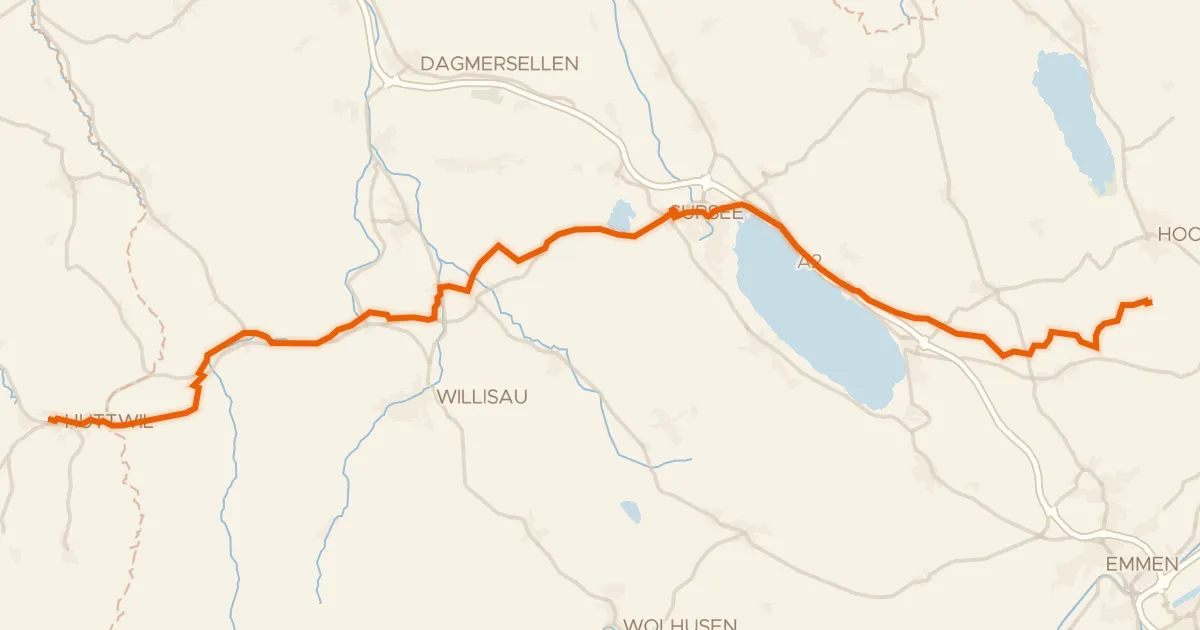
Touring89% paved
L'Areuse-Emme-Sihl
46 km↑ 454 m8 km away
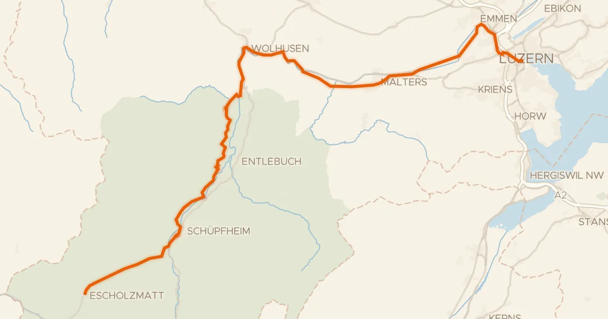
Road bike96% paved
Emmental–Entlebuch
48 km↑ 455 m10 km away

Gravel38% paved
Rondje Wigger en Luthern
63 km↑ 1,641 m12 km away
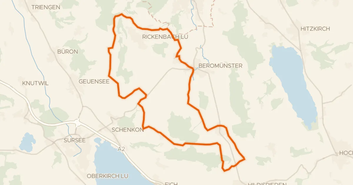
Road bike95% paved
Runde Michaelsamt
30 km↑ 439 m13 km away
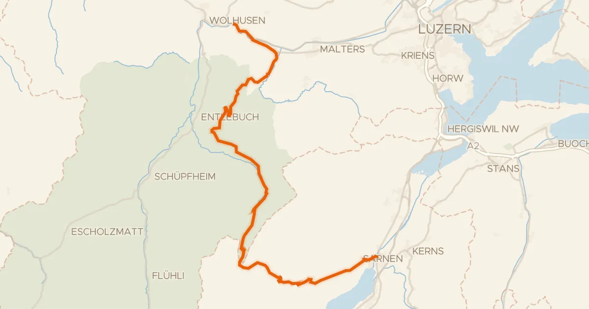
Road bike96% paved
Wiggertal–Glaubenberg
45 km↑ 1,428 m13 km away
Glaubenbergpass
Road bike98% paved
Wynental-Route
57 km↑ 644 m16 km away