Back to the librarykm 4 · Sep 2022 · © Lowiekse / Mapillary, CC BY-SA km 15–20km 23–25km 25–27km 44–46km 52–52km 53–54km 56–59
GravelRouteCasterRound trip
Rondje Perfeist bei Wasserliesch en Saar
Distance
61 km
Ascent
1,339 m
Highest point
510 m
37% paved
Start from your location
Ride there from home: we find the shortest way to the loop and start the loop from there.
The ride
Roll out of Oberbillig and follow the Saar river before the route turns into the Mattheiser Wald forest. From there it climbs through the Saar-Hunsrück nature reserve, 1339 m of elevation gain in total, and later passes the Perfeist bei Wasserliesch nature reserve. With 63% of the 60.7 km unpaved, the ride keeps mixing surfaces all the way back to Oberbillig.
Along the way
Climbs
Climb 1Cat. 3
4.7 km at 3.6% · max 21.4%
Climb 2Cat. 4
1.4 km at 6.8% · max 14.3%
Climb 3Cat. 3
2.4 km at 8.6% · max 36.1%
Climb 4Cat. 4
2.1 km at 7% · max 28.2%
Climb 5Hill
0.7 km at 9.8% · max 23.2%
Climb 6Cat. 4
1.4 km at 10.4% · max 25.8%
Climb 7Cat. 4
3.3 km at 3.5% · max 17.8%
Routes nearby
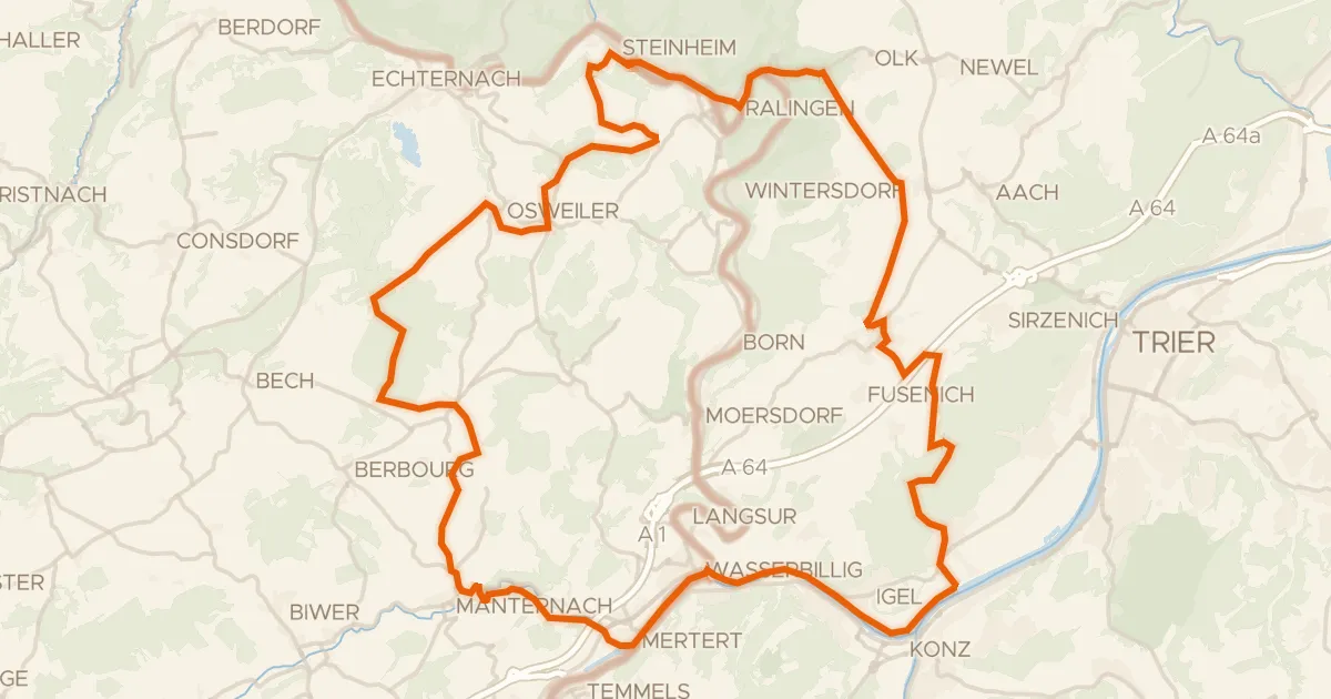
Gravel63% paved
Rondje Kiesgrube bei Oberkirch en Saar
65 km↑ 1,148 m5 km away
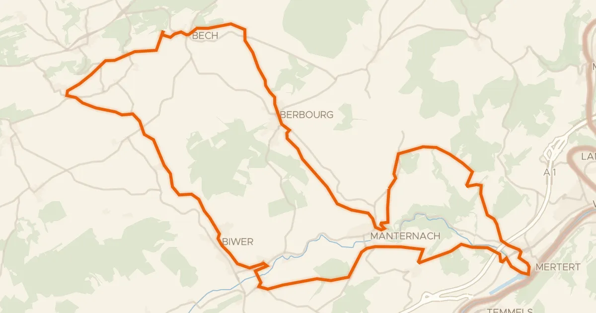
Road bike100% paved
Velo Pomarium
40 km↑ 705 m8 km away
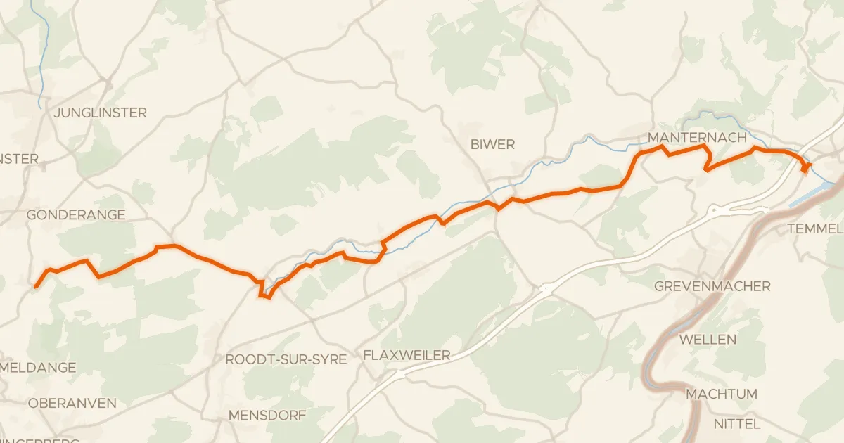
Road bike100% paved
Piste cyclable de la Syre (PC 4)
21 km↑ 237 m10 km away
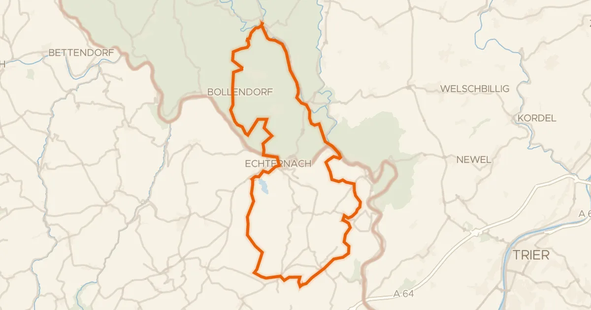
Gravel51% paved
Rondje Schloß Weilerbach en Schloss Holsthum
61 km↑ 1,288 m13 km away
Road bike98% paved
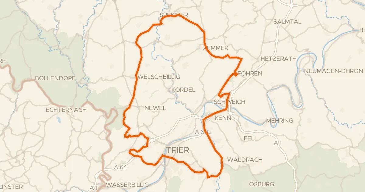
Rondje Schloss Marienlay en Burg Welschbillig
93 km↑ 1,507 m17 km away
Road bike99% paved
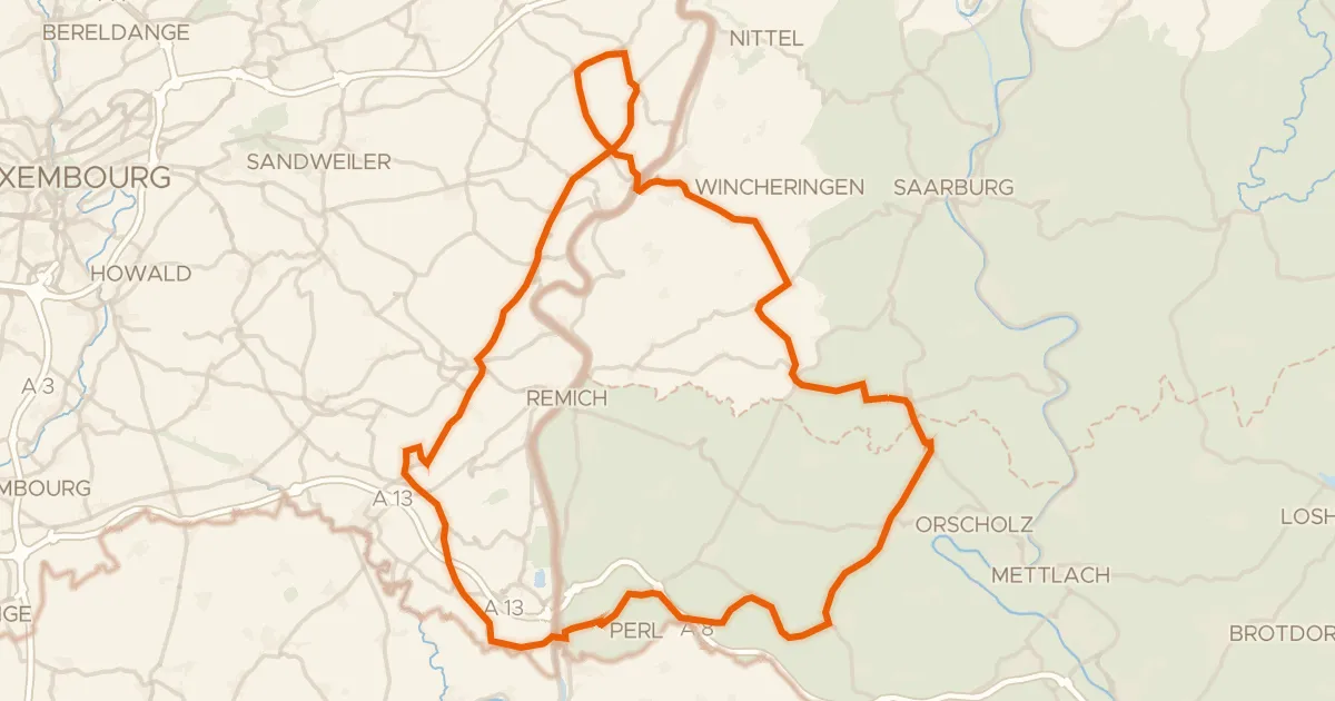
Rondje Château de Schengen en Saarschleife und Leukbachtal
76 km↑ 1,236 m18 km away